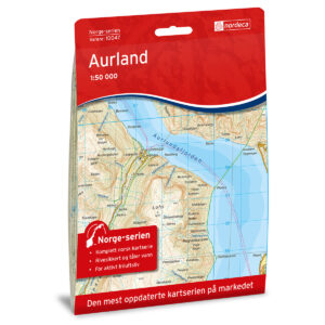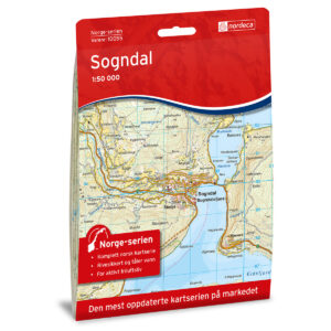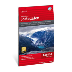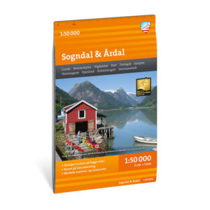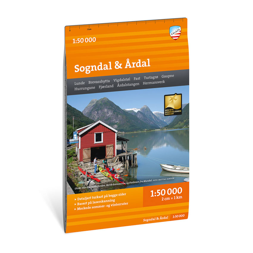
Description
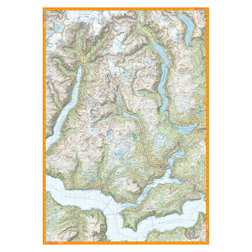
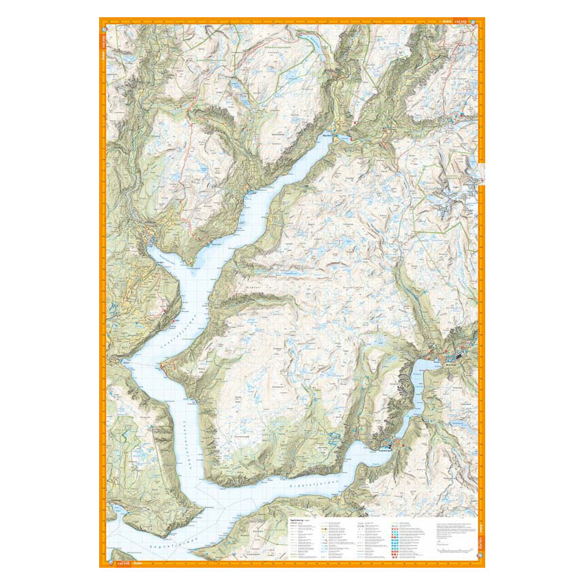
Turkart Sogndal & Årdal covers the area from Fjærland to Luster and Årdal with map sections on both the front and back. The map includes parts of western Hurrungane, Jostedalen and the area around Anestølen, and provides an overview of the fjord and high mountain terrain in the region.
Trails in the area have been reviewed and corrected using detailed aerial photographs and terrain data, and the map shows both established and less used routes. Cabins run by DNT and other operators are clearly marked, along with marked summer routes. The map is adapted for use throughout the year and shows marked winter routes and groomed ski trails where applicable. The terrain information provides a precise depiction of contours, glaciers, water and landscapes in a varied and sometimes demanding terrain.
The map is at a scale of 1:50,000, which is the most common scale for longer mountain hikes. At this scale, 2 cm on the map corresponds to 1 km in the terrain. This provides a good balance between level of detail and overview of larger areas.
Calazo Förlag is a Swedish publishing house specializing in maps and books for outdoor life in the Nordic region.
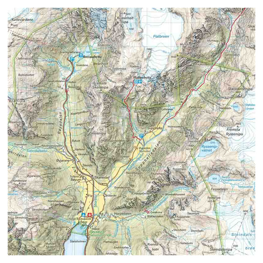
Here you can see the area the map covers:
The map is released in 2022.