Description
Turkart Stølsheimen covers the whole of Stølsheimen with map sections on both the front and back. The map also includes SignaTur Stølsheimen between Mo and Volahytta, and provides an overview of a varied mountain area with plains, water, valleys and marked peaks.
The map shows cabins run by DNT and other operators, as well as marked hiking routes in the area. The SignaTur route is clearly marked and makes it easier to plan continuous hikes through the mountain area. The terrain information is based on detailed elevation data, which provides a precise representation of contours, water and landforms. The map is suitable for use throughout the year, with marked winter routes and groomed ski trails where applicable.
The map is at a scale of 1:50,000, which is the most common scale for longer mountain hikes. At this scale, 2 cm on the map corresponds to 1 km in the terrain.
Calazo donates an amount per map sold to DNT’s work on trails and accommodation cabins, which contributes to the further development and maintenance of the infrastructure in the area.
Calazo Förlag is a Swedish publishing house specializing in maps and books for outdoor life in the Nordic region.
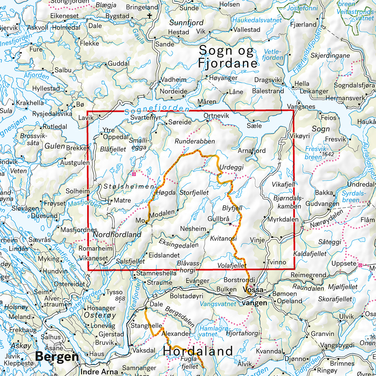
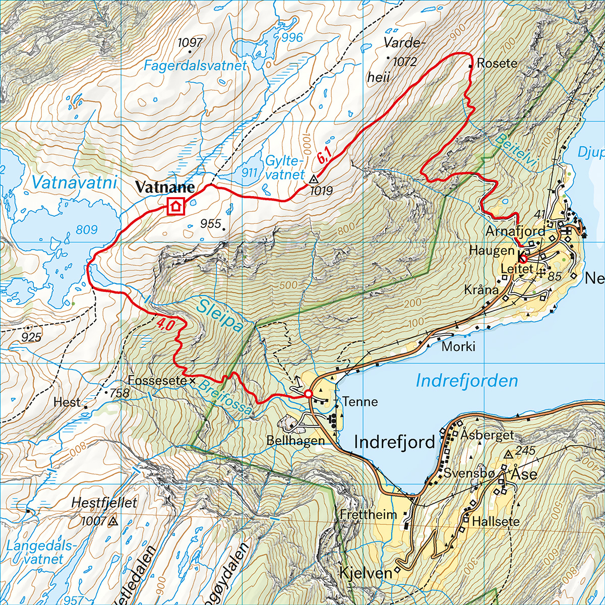
Here you can see the area the map covers:
The map is released in 2025.