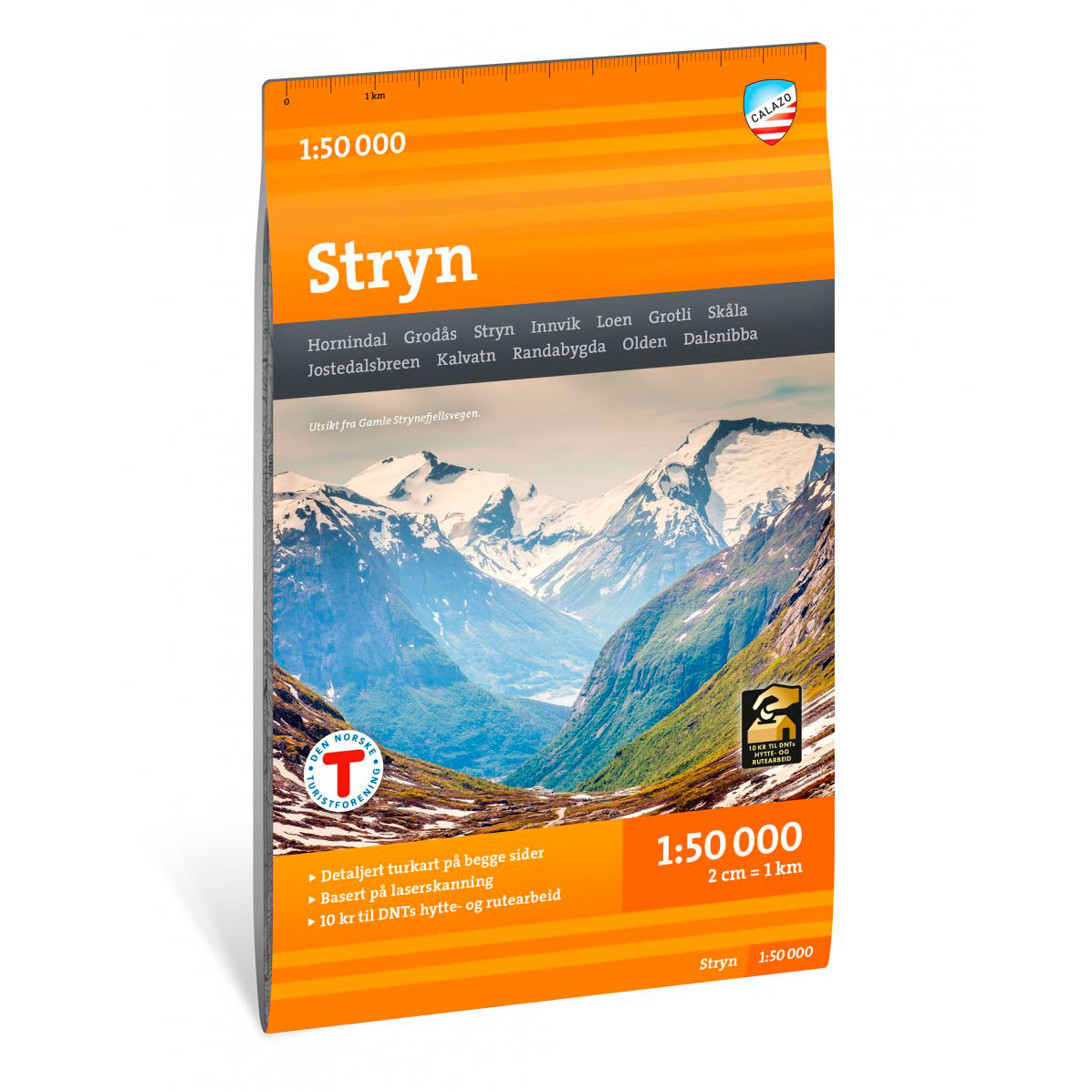
Description
Turkart Stryn covers the area around Stryn and Strynefjellet with map sections on both the front and back. The map includes fjord and high mountain terrain with marked peaks, glaciers and valleys, and provides an overview of the hiking opportunities in the region.
Classic hiking destinations in the area include Skåla, Briksdalen and Gamle Strynefjellsvegen. The map shows marked hiking routes and cabins run by DNT and other operators. The terrain information is based on detailed elevation data, giving a precise representation of contours, water, glaciers and landscapes. The map is suitable for use throughout the year, with marked winter routes and groomed ski trails where applicable.
The map is at a scale of 1:50,000, which is the most common scale for longer mountain hikes. At this scale, 2 cm on the map corresponds to 1 km in the terrain.
Calazo donates an amount per map sold to DNT’s work on trails and accommodation cabins, which contributes to the further development and maintenance of the infrastructure in the area.
Calazo Förlag is a Swedish publishing house specializing in maps and books for outdoor life in the Nordic region.
Here you can see the area the map covers: