Description
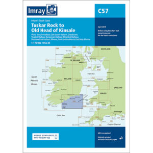
This boating map covers the south coast of Ireland from Tuskar Rock to the Old Head of Kinsale. The area includes stretches of open sea to the Atlantic Ocean, key coastal waters and several key ports and approaches used by leisure craft and through traffic.
The chart is ideal for route planning and overview navigation when sailing along the south coast of Ireland, where weather and sea conditions can change rapidly. It provides a clear representation of coastlines, key water features and key sailing routes, and is often used in conjunction with more detailed port and local charts for safe navigation.
Imray is a renowned British chart manufacturer with extensive experience in nautical charts and publications for leisure boats. Their charts are designed with practical on-board use in mind, combining clear cartography with reliable nautical information for sailors and powerboaters.