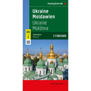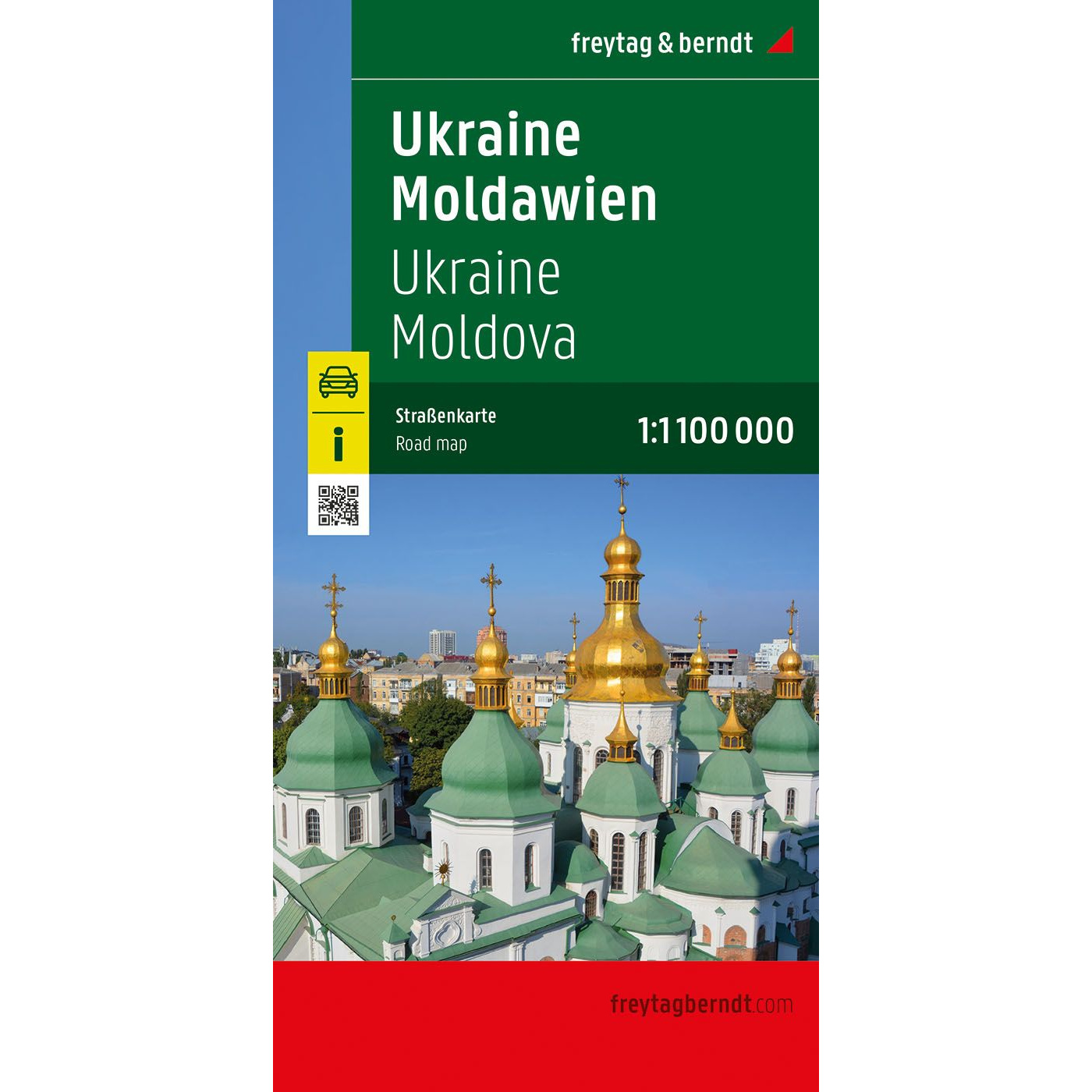
Description
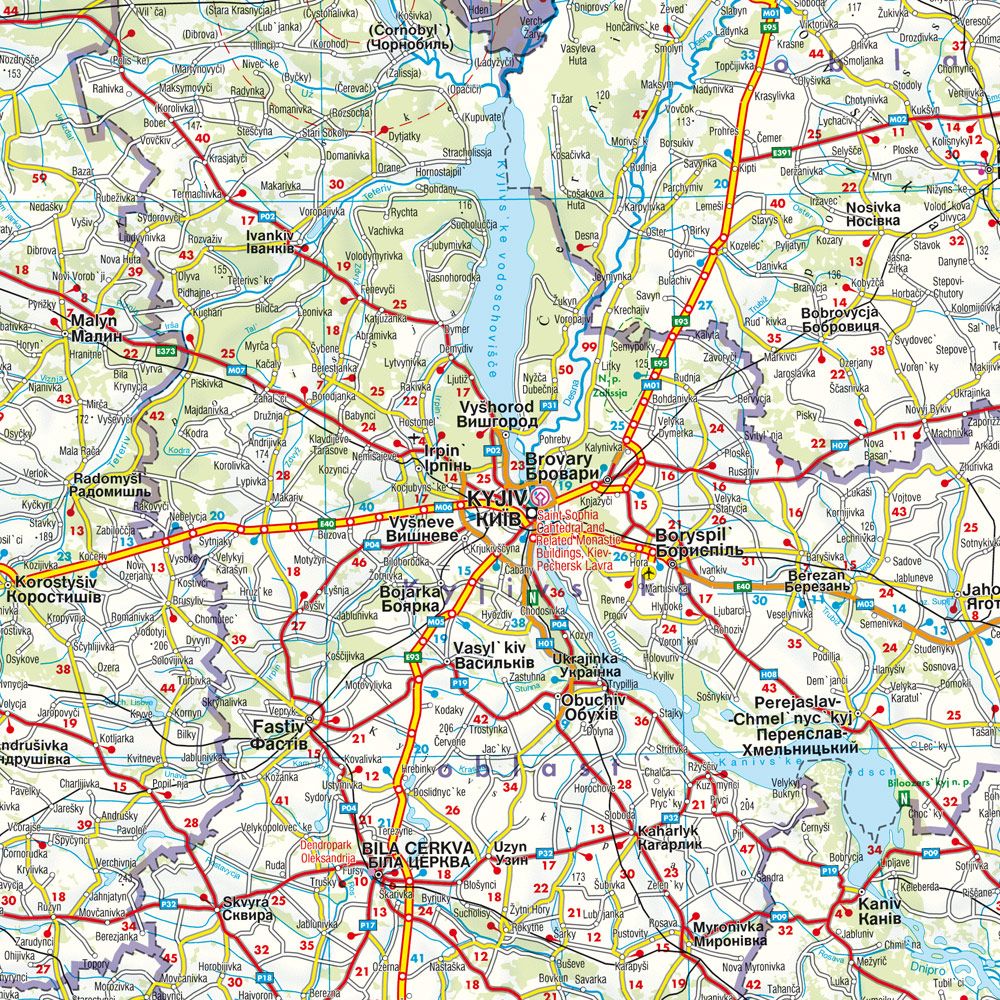
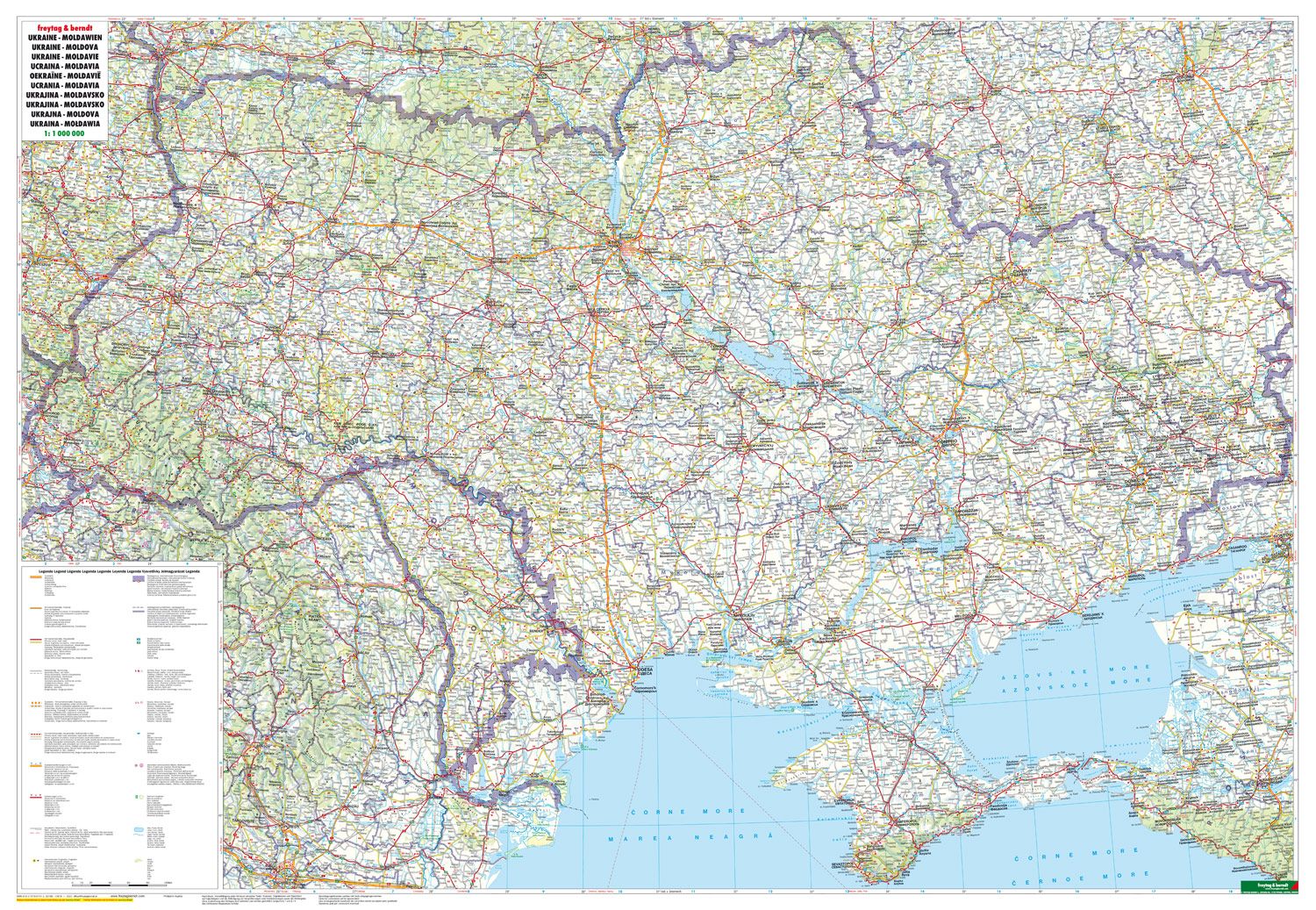
This road map covers Ukraine and Moldova in a single map surface and provides a clear overview of road networks, cities and regions in Southeast Europe. The map is designed for car travelers and others who need reliable orientation over large distances, and is suitable for both planning and use along the way.
The map image is clear and easy to read, with clear division of main roads and important connections between cities and regions. A range of additional information has been integrated into the map, including highlighting points of interest, World Heritage Sites and distances, providing added value for travel and orientation in the area.
A comprehensive location index makes it easy to find both major cities and smaller towns. The map covers key areas in both Ukraine and Moldova, including key transportation corridors and border areas, providing a good overview of the region’s geography and infrastructure.
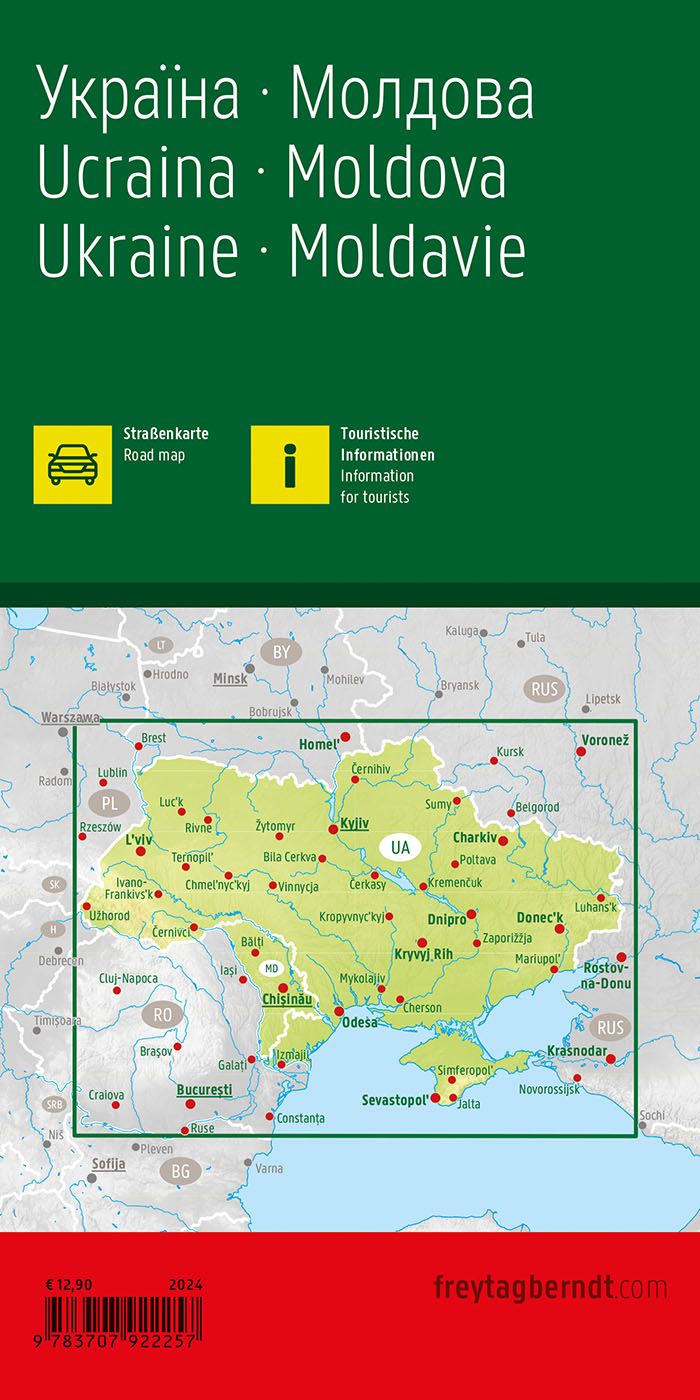
The product is released in 2024.