Description
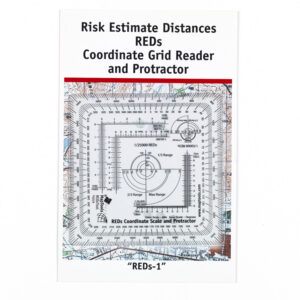
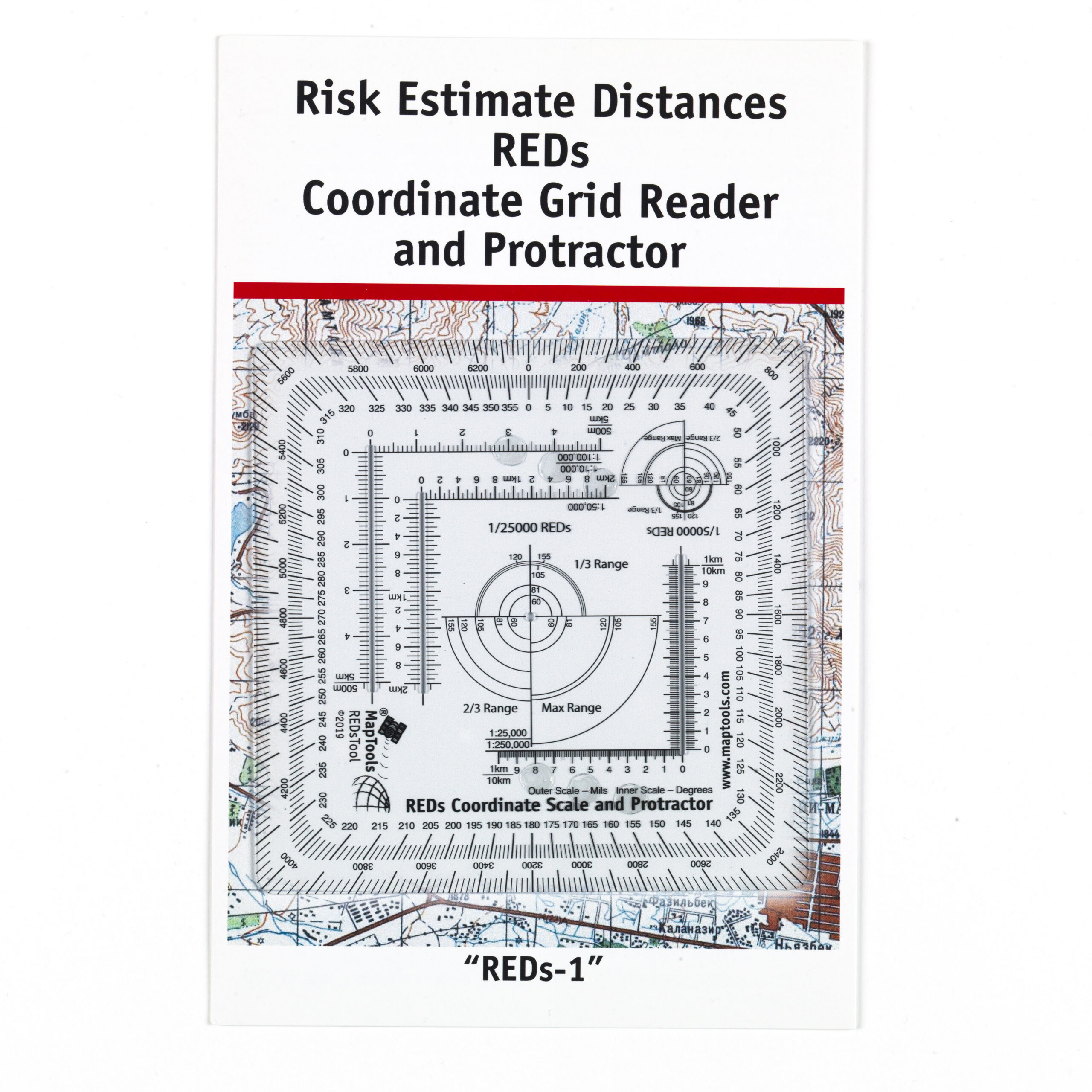
REDs-1 is a professional mapping tool designed for precise map navigation and coordinate work. The tool combines a coordinate reader, protractor, and compass rose into a single robust solution and supports several common map scales, including 1:25, 000, 1:50,000, and 1:100,000. This makes it easy to read UTM and MGRS coordinates, measure compass bearings, and work efficiently with topographic maps.
REDs-1 builds on the well-known GTA model used by professionals and is made of durable transparent plastic with a protected print and rounded corners. Its compact size means the tool fits easily into a map case or backpack, while its robust construction can withstand demanding use in the field.
In addition, REDs-1 includes special features developed for professional applications, including graphical references for risk assessment and planning in operational environments. These features are primarily intended for users with relevant training and professional expertise.
For users who are primarily looking for a mapping tool for outdoor activities and general map navigation, we recommend Round GTA or SuperGTA, which were developed with a focus on coordinate readings, compass bearings, and navigation.