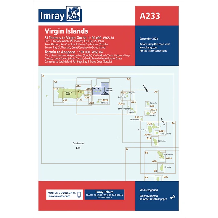
Description
Imray A233 – Virgin Islands is a high resolution navigation chart covering the US and British Virgin Islands, including St Thomas, St John, Tortola, Virgin Gorda and surrounding islands and straits. The chart provides a high level of detail and is particularly suitable for inter-island sailing, anchoring and navigation in narrow channels.
The map includes a number of detailed sections and harbor plans, including Charlotte Amalie, Road Harbour, Great Camanoe, Trellis Bay, Virgin Gorda Yacht Harbour and North Sound. In addition, overview maps linking the area to neighboring Imray maps in the Caribbean are shown.
Like all Imray maps, this one is printed on water-resistant paper, based on WGS 84 datum, and MCA recognized for navigational use. The map is also supported by the Imray Navigator app for digital updates.
An ideal map for both long-distance and charter sailors in the Virgin Islands.