Description
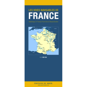
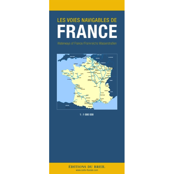
Les Voies Navigables de France is an overview map of France’s inland waterways and provides a comprehensive representation of the country’s extensive network of canals and rivers. The map shows the main connections, locks and fairways, and serves as a planning tool for travel on French inland waterways.
The publication is designed for use by recreational boaters, canal cruisers and others who travel on rivers and canals in France. It provides a comprehensive picture of how the various waterways are interconnected and is particularly useful in the early planning stages, before moving on to more detailed canal maps and guides.
Les Voies Navigables de France is often used in combination with regional canal guides and inland atlases, and provides the necessary overview to understand distances, route choices and connections between different waterway systems. The map is suitable for both practical use and as a reference on board or in planning work on land.
The publication is published by Éditions du Breil, a French publisher with extensive experience in cartography and fluvial navigation.