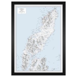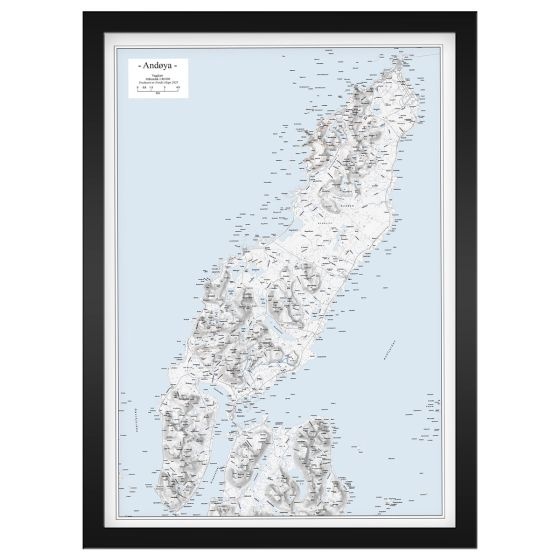
Description
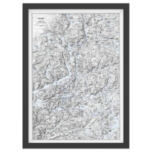
Wall Map Andøya is an exclusive, frame-friendly map at a scale of 1:50,000 that provides a detailed and clear depiction of Andøya and the surrounding coastal and marine areas in Nordland. The map shows the island in its entirety, with mountains, valleys, waterways, buildings, roads, islands, islets and sea areas, and is presented with discreet terrain shading that gives the landscape depth and a clear three-dimensional feel. This provides both good legibility and a calm, aesthetic expression.
The map comes unframed, but in a fixed and frame-friendly poster format of 50 × 70 cm (portrait), making it easy to frame as desired. The scale strikes a good balance between overview and detail, making the map suitable both as a practical reference for local knowledge and trip planning, and as a decorative wall map in your home, cabin or holiday home.
The map is released in 2025. Although some details of the terrain, infrastructure or buildings may have changed since publication, Veggkart Andøya still provides a very good and inspiring overview of the area and works well as both an orientation map and an atmospheric wall map.
For those looking for maps in other formats, styles or presentation solutions, we also offer a wide range of print-on-demand map products at kart.no.