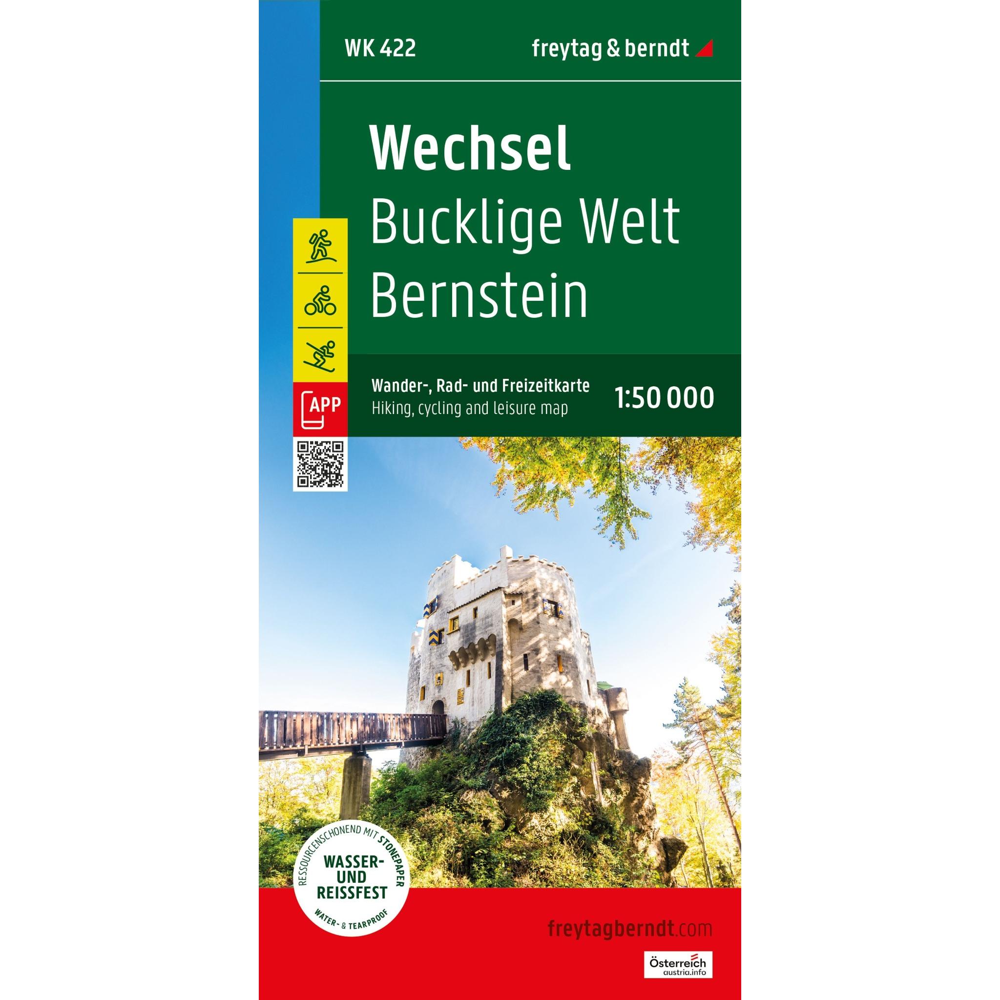
Description
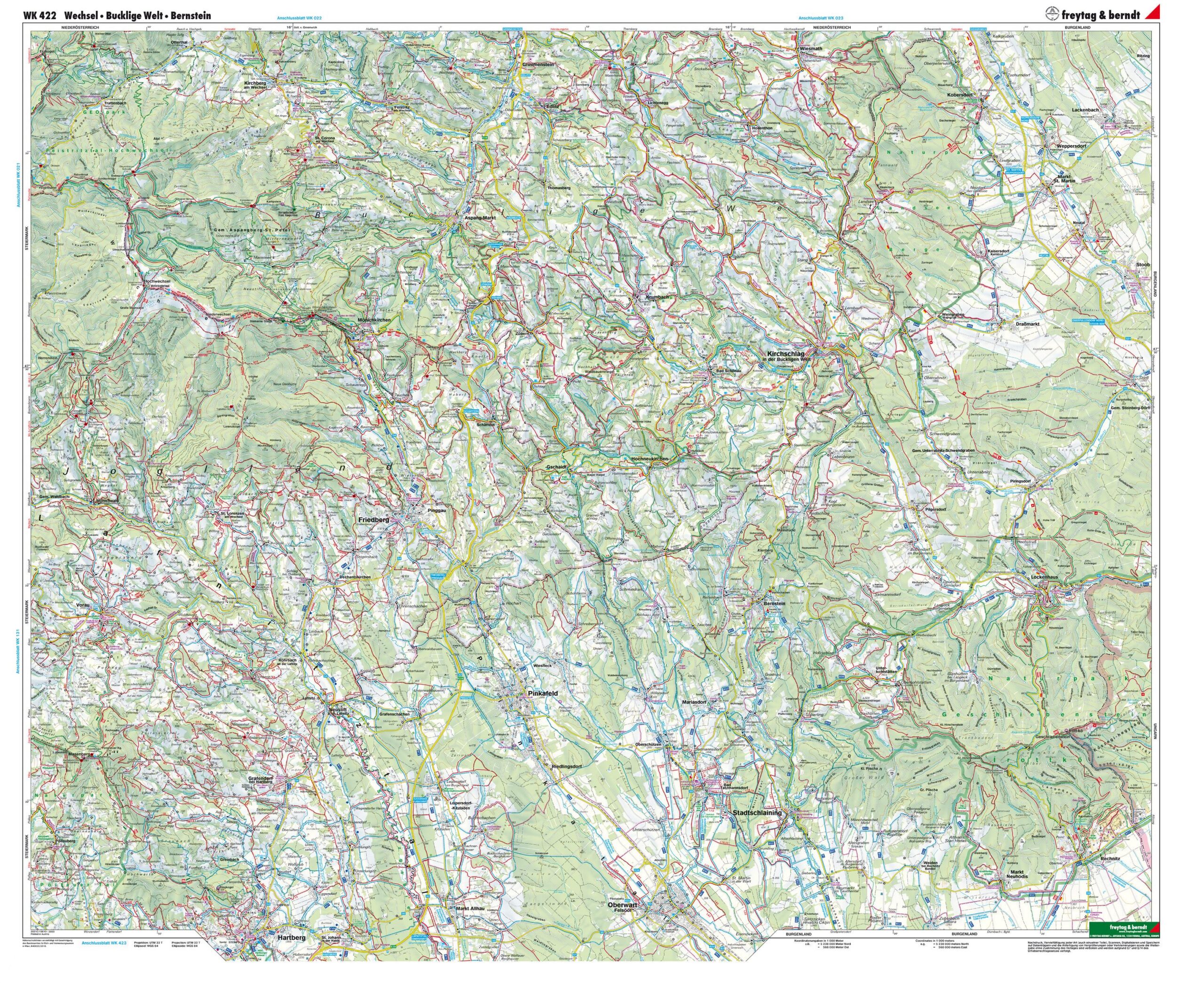
This detailed map covers the Wechsel area in Austria, including the Bucklige Welt and Bernstein regions, and provides a good overview of a varied landscape with mountains, valleys and cultural landscapes. The map has been developed for active use and is suitable for both planning and carrying out trips in the area.
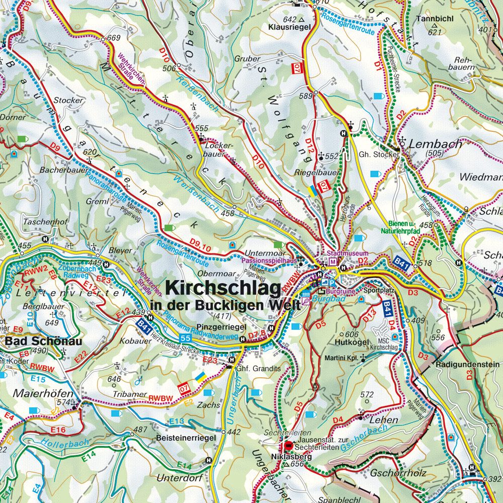
The map shows an extensive network of roads and routes, making it useful both for car-based exploration and for activities such as cycling and hiking. In addition, a number of tourist destinations, viewpoints and convenient stops are marked, making it easy to orient yourself and plan trips based on your own interests. The clear and easy-to-read cartography provides a good overview of both main roads and smaller connections in the region.
The map also includes information relevant for seasonal use, such as winter activities, making it useful all year round. It is made from a durable material that can withstand active outdoor use, making it suitable for longer trips and varied weather.
Release year: 2026.