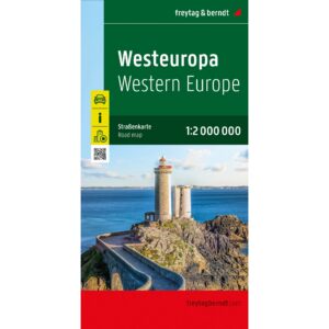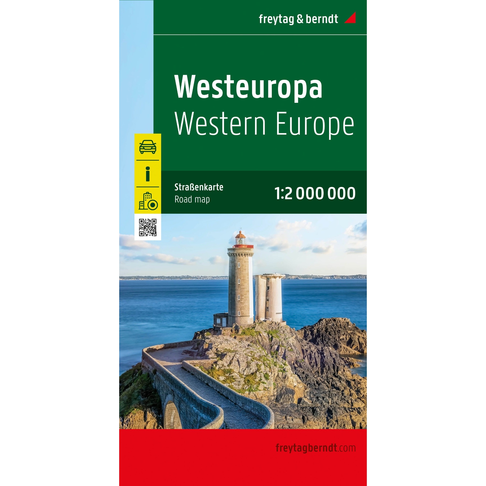
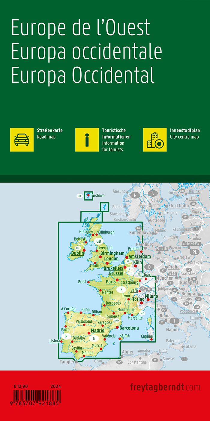
Description
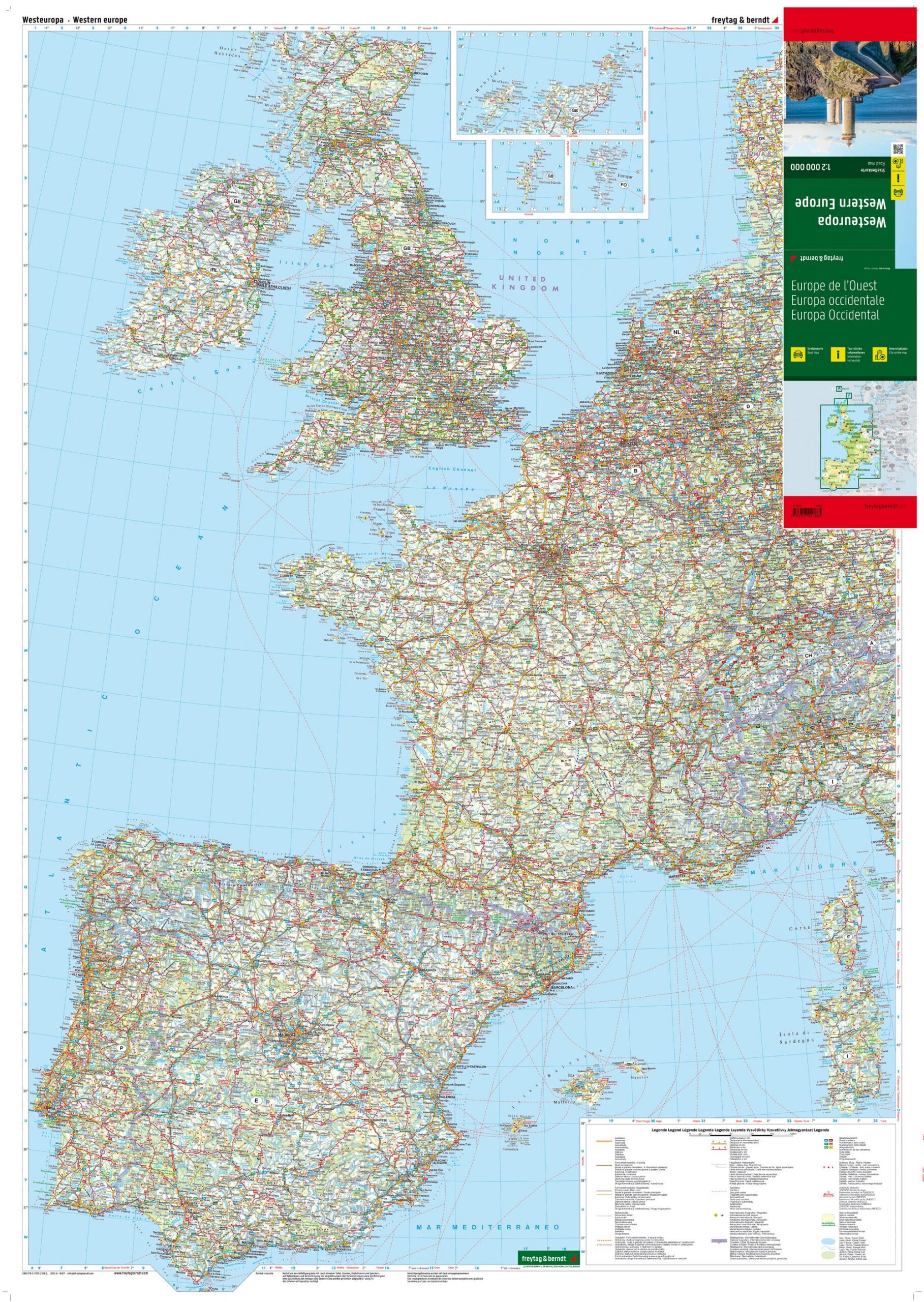
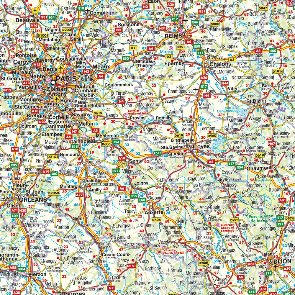
This is a clear and detailed road map of Western Europe, designed for travelers who want good planning and safe orientation on longer car and motorcycle trips. The map covers large parts of Western Europe and provides a comprehensive overview of main roads, secondary roads and important connections between countries and regions. Distances, cities and key destinations are clearly marked, making the map suitable for both general route planning and practical use when traveling.
The cartography is produced with high precision and good legibility, and the map image provides a balanced combination of overview and information. In addition to the road network, the map contains tourist information and a comprehensive place index with postcodes, making it easy to find specific places. The map also includes 9 city maps for key European cities, including London, Madrid and Copenhagen, providing additional support when entering and leaving urban areas.
This road map is particularly suitable for car and motorcycle vacations in Europe, where the need for a large overview map is combined with reliable and up-to-date map information. The map is printed in Austria and is of high technical and cartographic quality.
The map is released in 2024.