


Description
British Admiralty Chart 449 is an official paper nautical chart covering Elephant Island and Approaches. Scale: 1:200 000. Published by the UK Hydrographic Office as part of the British Admiralty chart series.
The chart covers the approach area identified by its title. For onward navigation into port, supplement it with harbour charts at a suitable scale.
Chart information
- Chart number: BA 449
- Title: Elephant Island and Approaches
- Scale: 1:200 000
- Publisher: UK Hydrographic Office / ADMIRALTY
- Format: paper nautical chart
Ordering and delivery
This chart is ordered for you through StormGeo UK. Quote chart number BA 449 when ordering or contacting us about the chart. See the delivery information and shipping terms on the product page.
Coverage overview
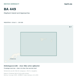
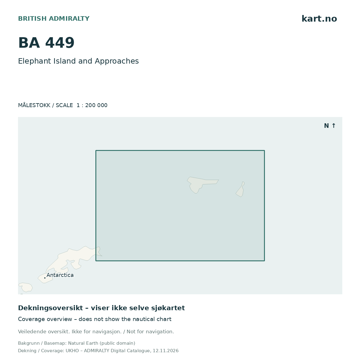
The product image illustrates indicative coverage outlines from the ADMIRALTY catalogue on a basemap. It does not show the nautical chart itself and must not be used for navigation. Insets and harbour plans may have different scales.
Edition and corrections
Please contact us if you need confirmation of the edition or correction status before ordering. The coverage illustration does not document the chart’s correction status.
Basemap: Natural Earth (public domain). Coverage: UKHO – ADMIRALTY Digital Catalogue, catalogue dated 12 November 2026. Coverage illustration created by Kart.no.