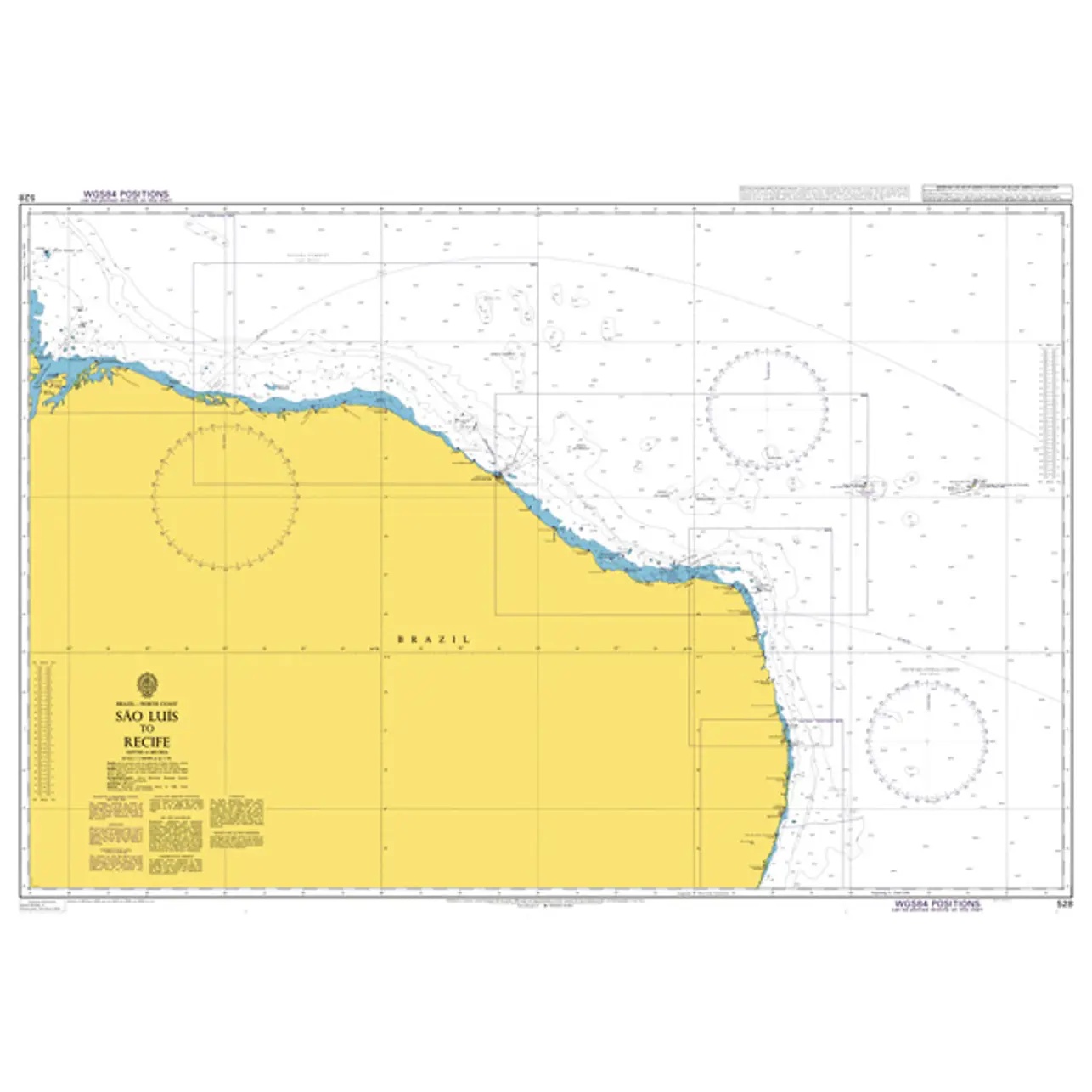
Description
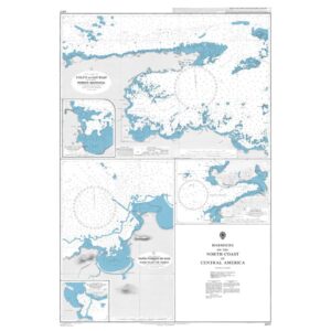
This British Admiralty nautical chart covers the coastline of northeastern Brazil from São Luís to Recife. The chart shows the open Atlantic coastline with depth contours, shoals, navigation marks and reference points necessary for the safe planning and execution of voyages along this part of South America’s east coast.
The chart is suitable for coastal navigation and longer coastal legs, as well as for overall route planning along the Brazilian coast. Developed for professional navigators, it provides a reliable chart base for vessels operating in the area, both for transit and port call planning.