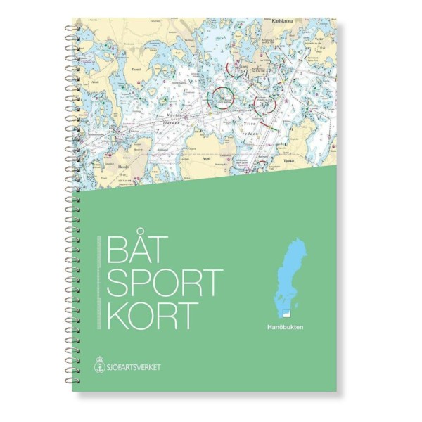

Description
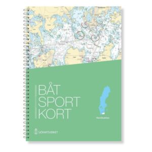
The official Swedish boating map Hanö Bay provides a detailed overview of the popular coastal waters in the southern part of the Baltic Sea, focusing on Hanö Bay between Skillinge and Bergkvara in Kalmarsund. The map is specially designed for leisure boats and covers important waters, harbors, passages and small islands in the area.
Official chart data from the Swedish Maritime Administration
The Hanöbukten chart is an extract from the official “archipelago charts” and is based on current chart data from the Swedish Maritime Administration. This means that fairways, depths, markings and other nautical conditions are correctly reproduced in the latest edition, giving you an up-to-date and reliable basis for navigation on board.
Detailed scales and content
The chart set starts with an overview chart, followed by medium scale charts, before moving on to more detailed charts for narrower waters and harbor areas. This provides good navigational support from planning to carrying out trips in the bay.
Convenient format for use on board
The map sheets are spiral bound in a robust and user-friendly format, and come with a protective transparent folder. This makes the charts suitable for active use on board smaller leisure boats, so you can easily orient yourself and navigate safely along the way.
Covered area and locations
The map includes waters and ports in the area around Bergkvara, Pukavik, Hällevik, Kristianopel, Grönhögen, Degerhamn, Garpahamnen, Krokås, Elleholm, Sandhamn, Sölvesborg, Nogersund, Hörvig, Ronnebyhamn, Kivik, Torsö, Skillinge, Simrishamn, Baskemölla, Hanö, Åhus and Brantevik, as well as the Danish port of Rønne on Bornholm.