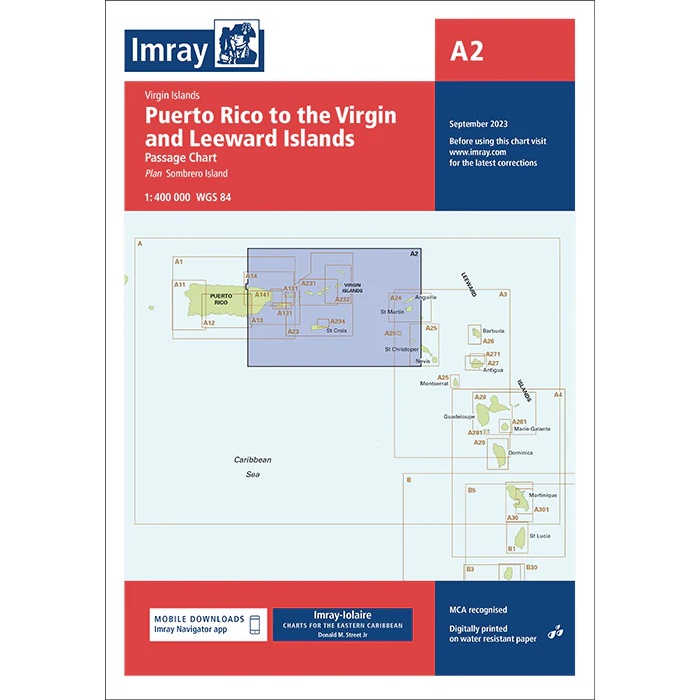
Description
This boating chart from Imray is an overview and passage chart covering the sailing area from Puerto Rico to the Virgin Islands and Leeward Islands in the northeastern Caribbean. Designed for planning longer voyages, it provides a clear overview of the open seas, island groups and main routes in the area.
The chart is well suited for long distance sailing and general route planning between Puerto Rico, the US and British Virgin Islands and further south in the Leeward Islands. It serves as a useful supplement to more detailed coastal and harbor charts, and is adapted for use by leisure boats and sailboats sailing over large areas of the Caribbean.
Imray is a recognized British manufacturer of nautical charts with extensive experience in cartography for leisure and cruising sailors. Their boating charts are developed with a focus on clarity, legibility and practical use on board.