Description
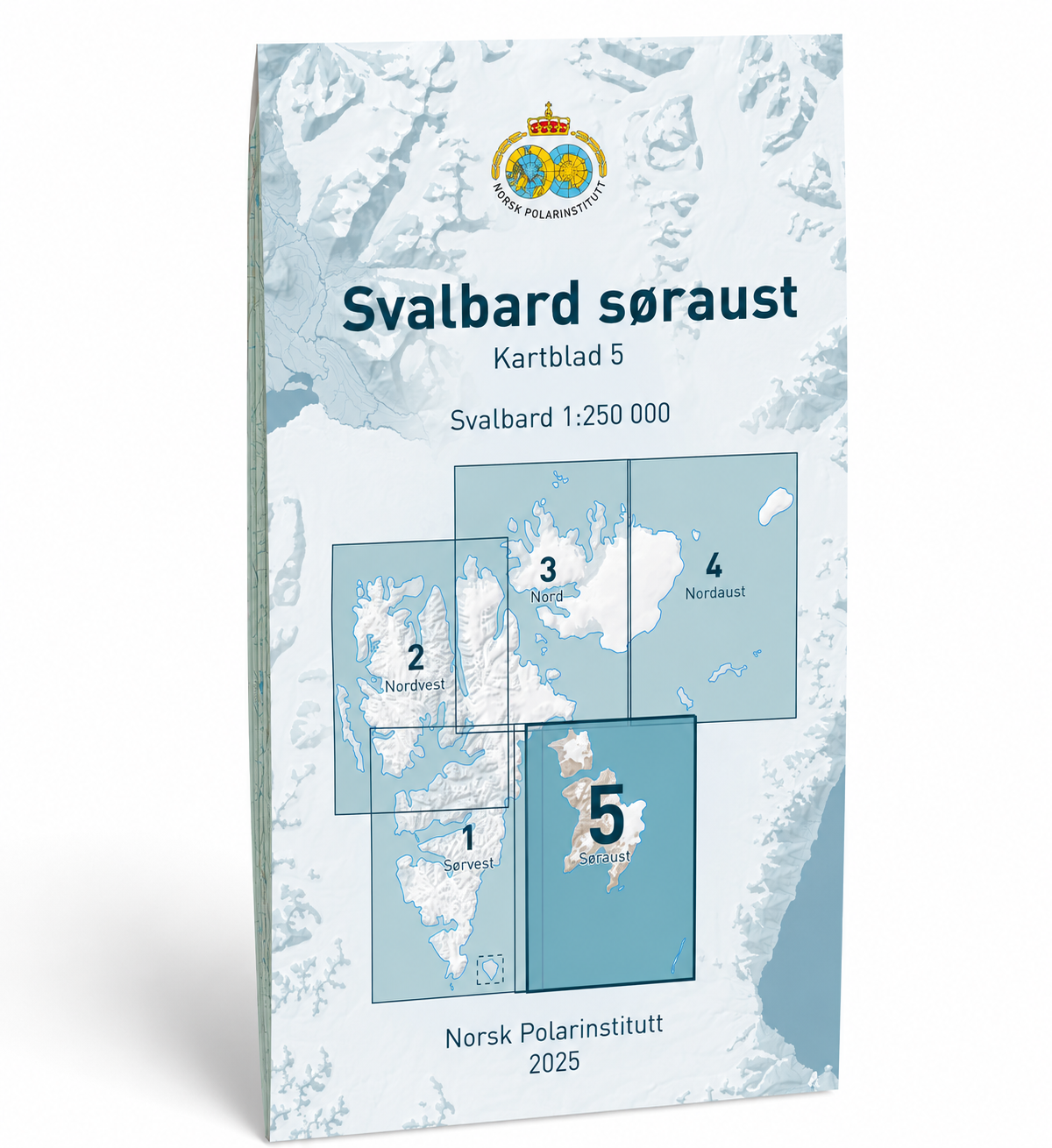
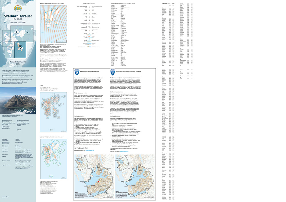
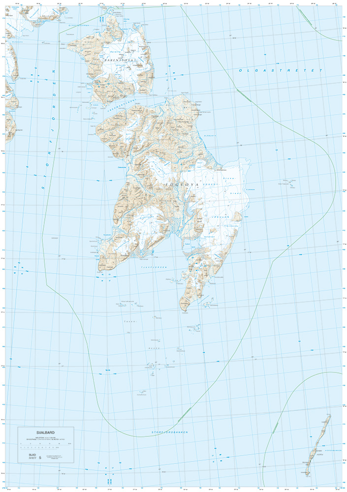
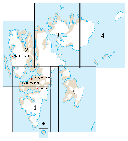
Svalbard Southeast is map sheet S250-5 in the Norwegian Polar Institute’s official map series of Svalbard at a scale of 1:250,000. The series consists of five map sheets that together cover the entire Svalbard archipelago and provide a detailed regional overview of the archipelago’s landscape, fjords, glacier areas, and coastline.
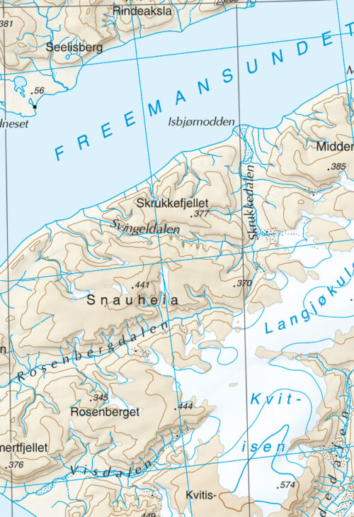
This map sheet covers the southeastern part of Svalbard, featuring a magnificent Arctic landscape characterized by vast glaciers, mountainous areas, islands, sounds, fjords, and a long coastline facing the Barents Sea. The area includes some of the most pristine parts of the archipelago and provides a good representation of Svalbard’s distinctive natural environment. The 1:250,000 scale provides a good balance between level of detail and overall view, making the map well-suited for planning expeditions, research, education, and general geographic orientation.
The 2025 edition is based on updated cartographic data and replaces the previous edition. The map reflects the latest available cartographic information from the Norwegian Polar Institute and upholds the institute’s high standards for mapping the polar regions.
The Norwegian Polar Institute is Norway’s leading institution for research, mapping, and environmental management in the Arctic and Antarctic. As a directorate under the Ministry of Climate and Environment, the Institute has a national responsibility to generate scientific knowledge about the polar regions, conduct mapping, and provide expert advice to Norwegian authorities. The Institute operates research stations in the Arctic and Antarctica, conducts expeditions, and operates the research vessel Kronprins Haakon.
The S250 map series is used by researchers, government agencies, expeditions, tourism operators, and anyone who wants an up-to-date and authoritative map of Svalbard. Together, the five map sheets provide the most comprehensive overview of the archipelago at a scale of 1:250,000.
Kart.no is an official distributor of maps from the Norwegian Polar Institute and ships the Institute’s entire series of maps of Svalbard directly from stock.