
Description
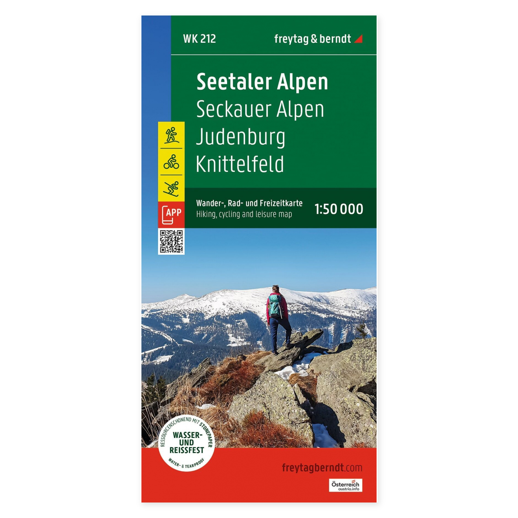
The Seetaler Alps – Hiking Map (waterproof, multilingual) from freytag & berndt is a detailed hiking and activity map covering the Seetaler Alps and the Seckauer Alps in Styria, Austria. The map includes , among other places , Judenburg, Knittelfeld, and the Zirbitzkogel–Grebenzen Nature Park, and is designed for hiking, biking, and other outdoor activities throughout the year.
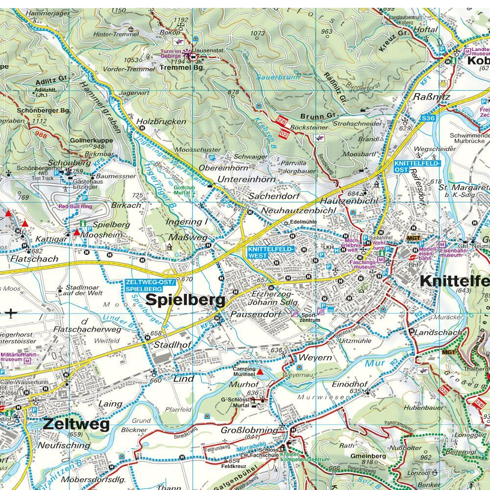
The map is printed at a scale of 1:50,000 and shows marked hiking trails, long-distance trails, bicycle and mountain bike trails, ski trails, and cross-country ski trails. In addition, the map includes tourist information, GPS coordinates, and a handy info guide that makes it easy to plan trips and find your way around the area.
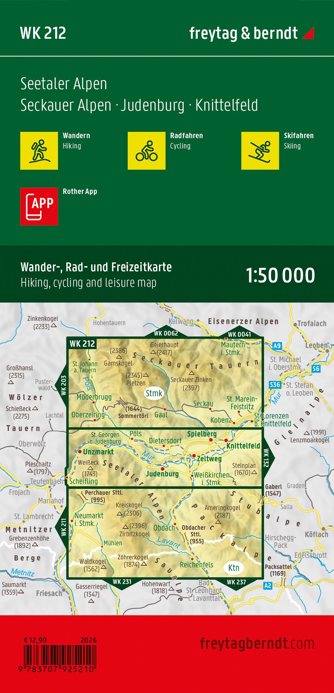
The map covers , among other areas , the Seetaler Alps, the Seckauer Alps, Stubalpe, Judenburg, Knittelfeld, and the Zirbitzkogel–Grebenzen Nature Park, and is suitable for both day hikes and longer mountain hikes. When unfolded, the map measures approximately 82 × 107 cm and is printed on waterproof and tear-resistant material, making it suitable for active use in all kinds of weather. The map can also be used with the freytag & berndt map app for easy digital navigation.
Freytag & Berndt is known for its precise cartography and detailed hiking maps of Europe’s most popular outdoor areas, and this edition is a great choice for anyone who wants to explore the mountainous regions of Styria on foot, by bike, or on skis.
Release year: 2026.