
Description
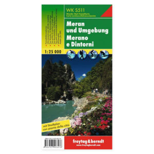
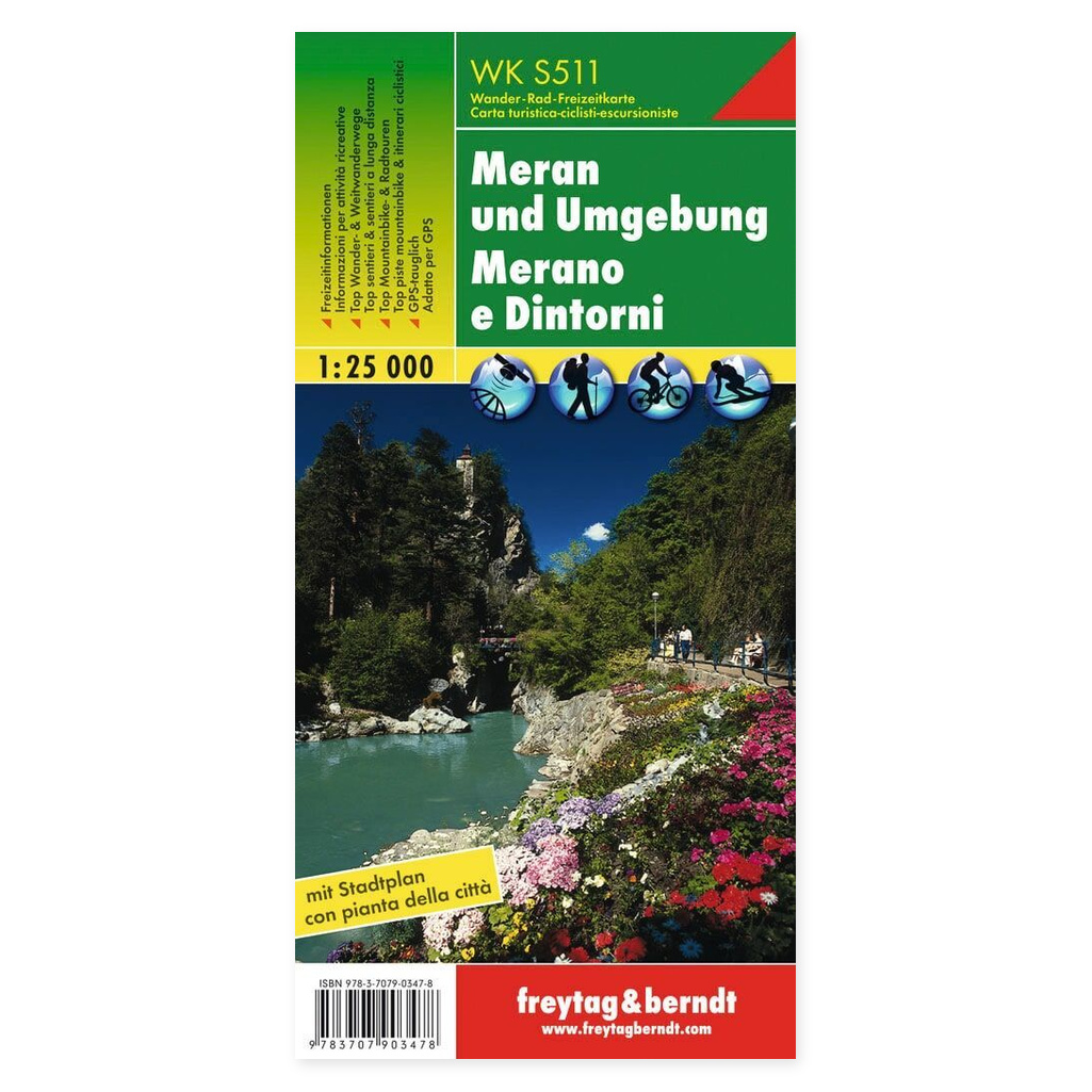
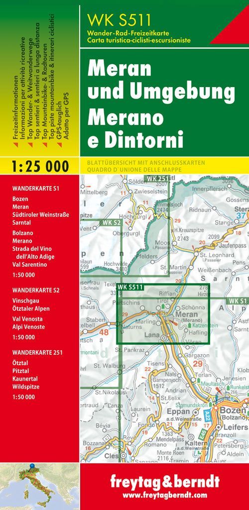
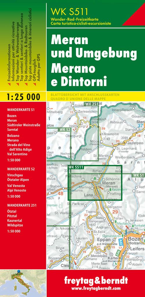
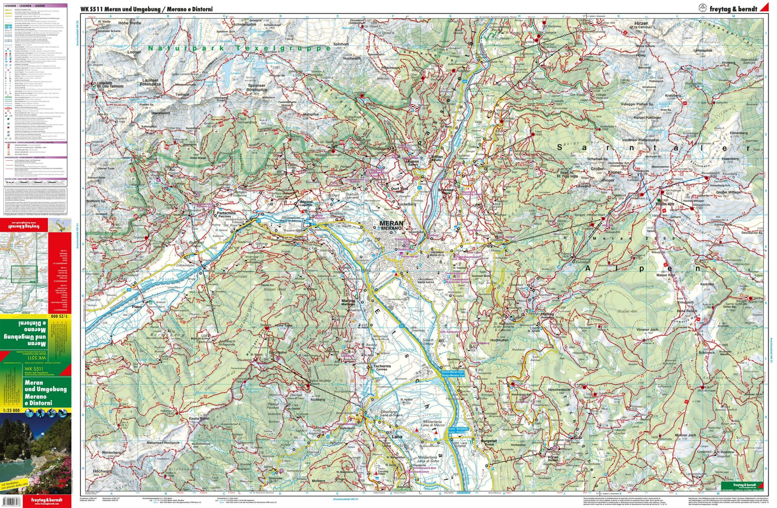
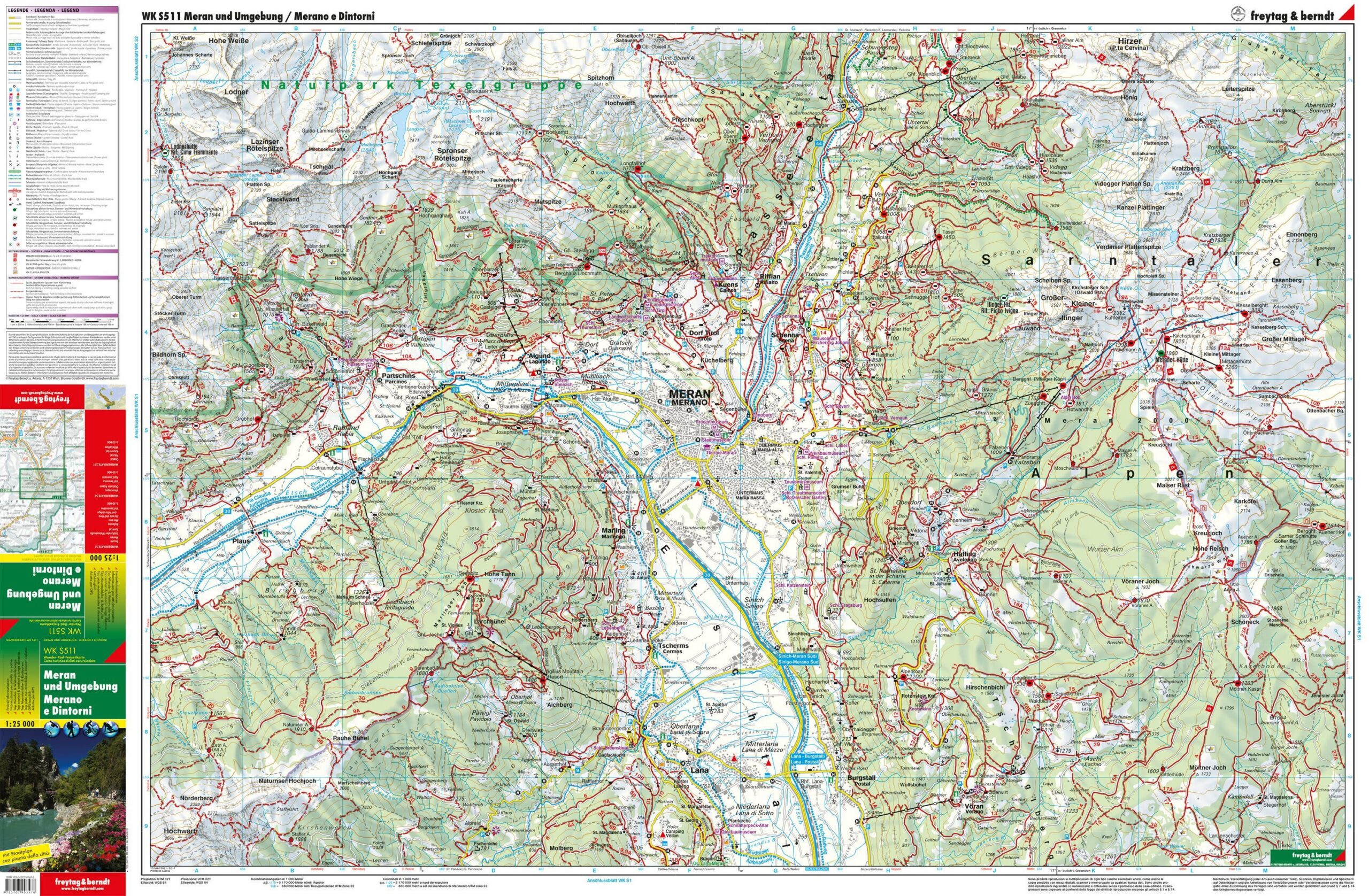
Merano and surroundings – hiking map (multilingual) from Freytag & Berndt is designed for trip planning and orientation in the area.
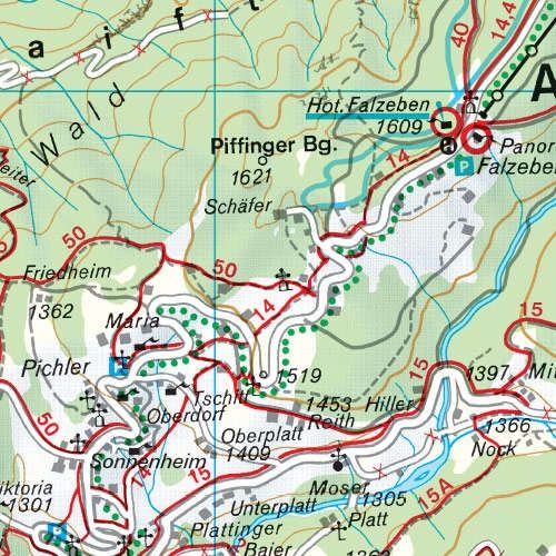
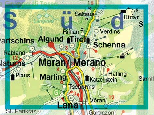
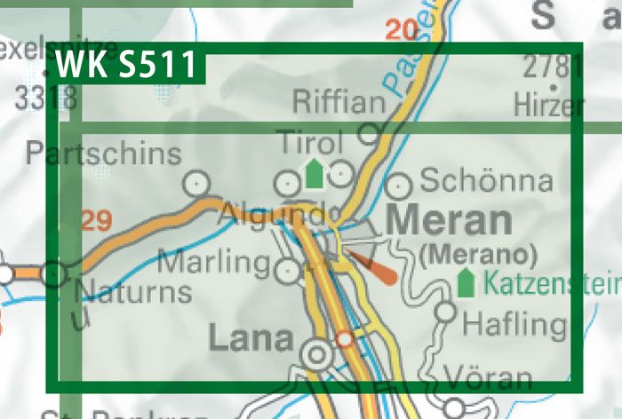
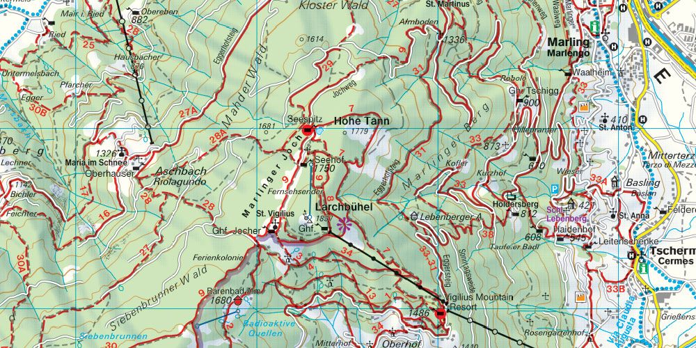
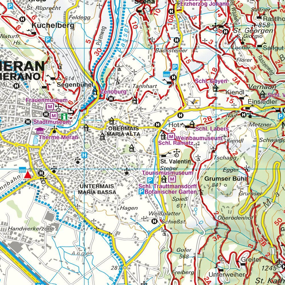
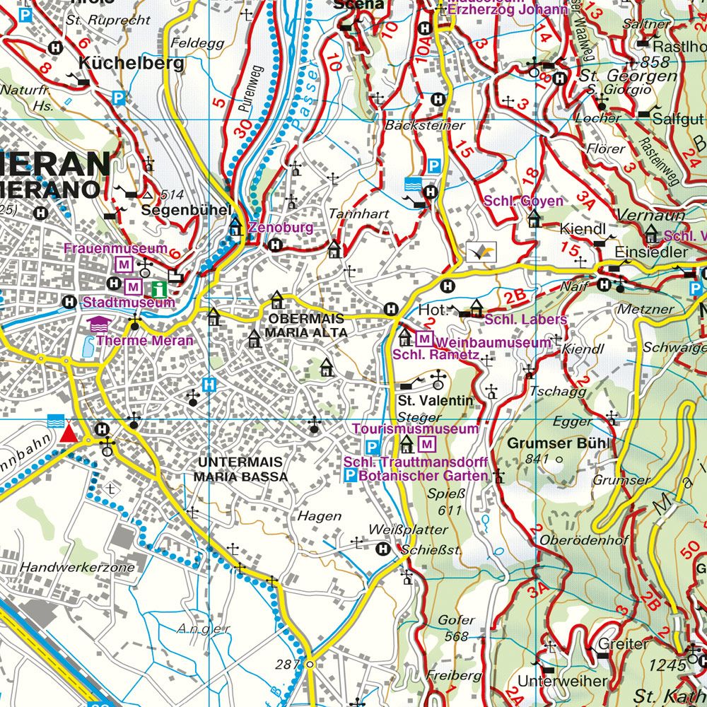
Content and coverage. Detailed hiking map of Merano and surroundings, including the Adige Valley, Passeier Valley, Sarntal Alps, and Texel Group Nature Park. The map shows the Merano High Path, Via Alpina, Tappeinerweg, and Waalwege trails, as well as cycling routes along the Adige and through the Passeier Valley. Tourist information and a place index with postcodes supplement the map. Route information also includes via ferratas, ski, and cross-country trails. Information texts on the reverse are in German and Italian.
Plan on paper. An unfolded map provides space to compare multiple locations simultaneously and see the itinerary in context. Use place names and the map legend to find relevant stops and choose which areas you wish to explore further.
Practical information: Scale 1:25,000. Year of publication 2014. ISBN 9783707903478. Item number WKS 511. Publisher Freytag & Berndt.