
Description
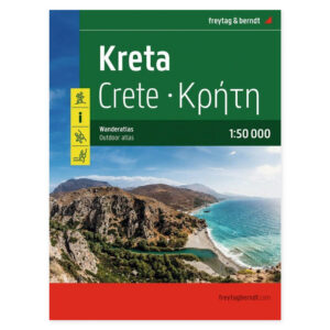
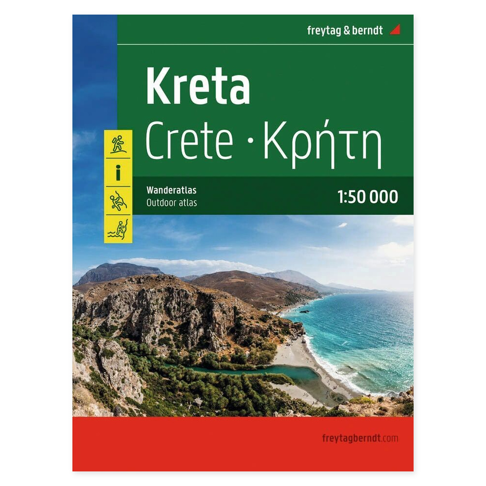
Crete – hiking atlas and guide (German) at a scale of 1:50,000 provides an overview when planning your trip and helps you see the connections between different destinations. The map can be used at home before departure and brought along to keep the geography easily accessible during your travels.
40 hikes and GPX tracks are combined with a 104-page map section. The atlas provides information on hiking trails, cabins, natural attractions, and other points of interest, allowing you to see the suggested routes in context with the landscape.
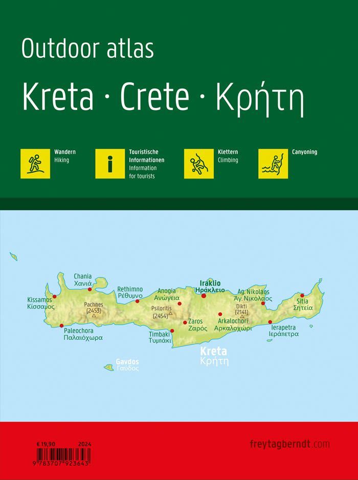
A German-language hiking guide with a detailed map section is ideal if you want both maps and route descriptions in the same book. It also includes tourist information, details on climbing and canyoning, as well as a place-name index. The format is approximately 22 × 28 cm.
Plan with the maps in front of you. Browse through the areas you wish to visit and see the destinations in context. The book format keeps the map material together, making it easy to return to relevant map sheets both before and during your trip.
Practical information: Scale 1:50,000. Publication year 2024. ISBN 9783707923643. Publisher Freytag & Berndt.