
Description
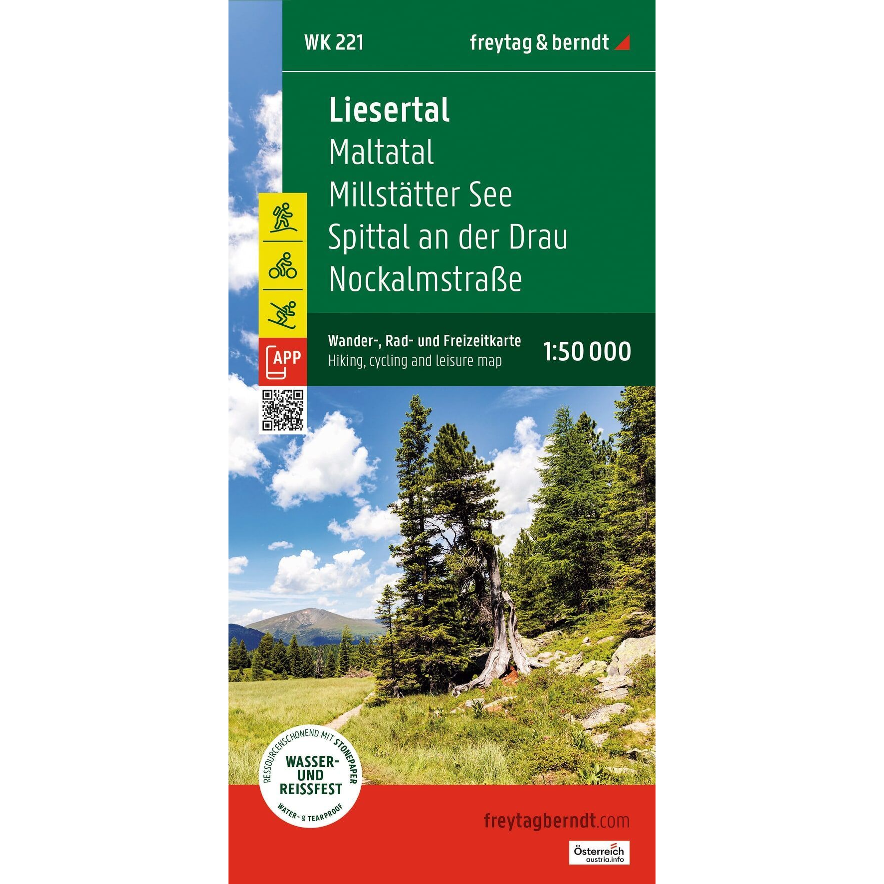
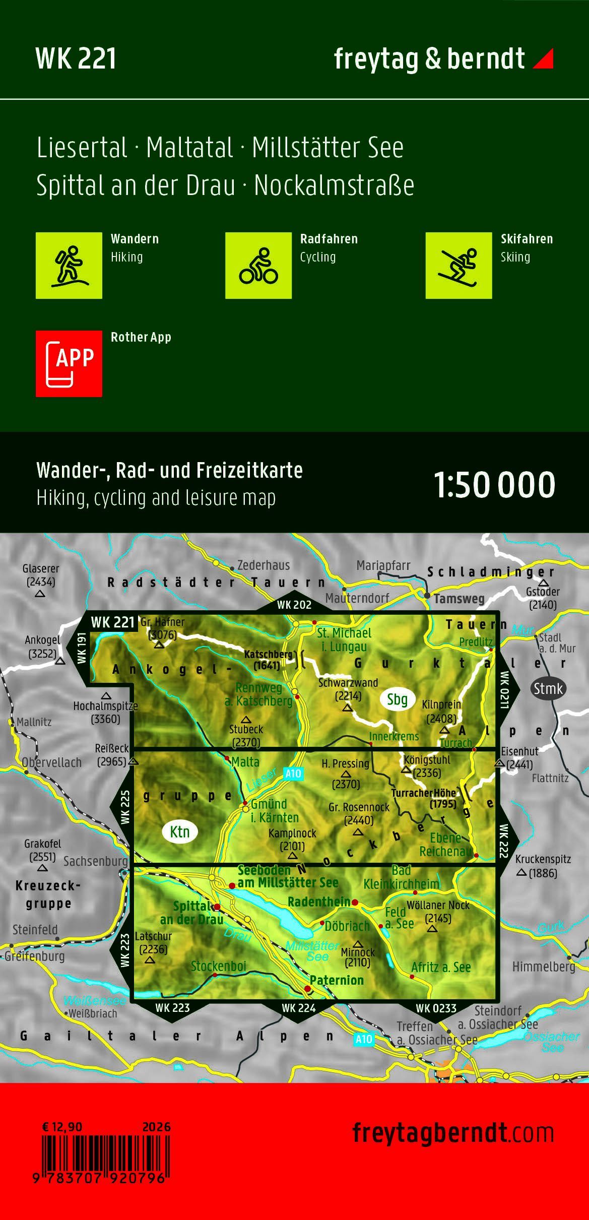
The Freytag & Berndt WK 221 is a detailed hiking, biking, and recreational map covering the Liesertal, Maltatal, Millstätter See, Spittal an der Drau, and Nockalmstraße in the Austrian state of Carinthia. The map is designed for hikers, cyclists, and outdoor enthusiasts who want an accurate and durable map of some of Austria’s most beautiful mountain regions.
At a scale of 1:50,000, the map shows an extensive network of marked hiking trails, long-distance routes, bicycle and mountain bike trails, ski routes, and cross-country ski trails. The map also includes tourist information, GPS coordinates, and a handy info guide to make planning easier.
The area includes, among other places, Lake Millstatt, the spectacular Maltatal Valley, the Nockberge National Park, the Hohe Tauern, the Ankogel Range, and the mountains around Katschberg. Here you’ll find everything from family-friendly hikes along the lakes to challenging mountain hikes to peaks and alpine areas.
The map is printed on water- and tear-resistant material, is designed to withstand active outdoor use, and is printed on both sides for maximum detail.