



Description
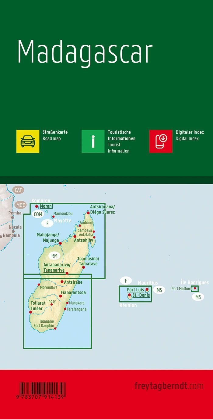
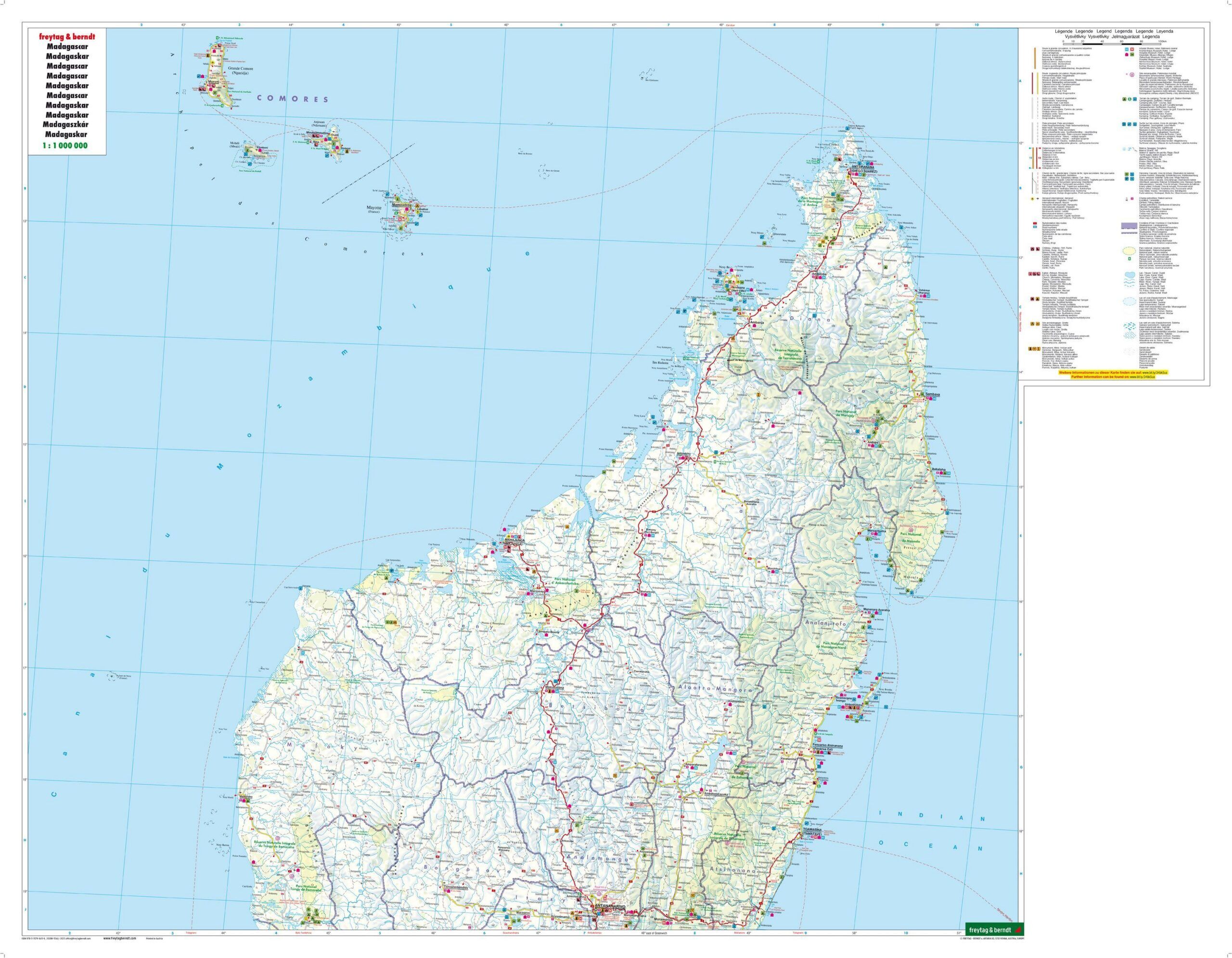
Madagascar road map, scale 1:1,000,000 gives an overview of the road network and is a practical aid for planning trips and excursions. The map provides an overview of Madagascar and includes a separate city map of Antananarivo. Tourist information and a place name index provide support when planning routes between places of interest on the island.
Tourist information helps you find interesting stops along your route. On a folded-out paper map, it’s easy to see the connections between multiple destinations and discuss the day’s route with fellow travelers.
A place name index makes it easier to find the places you’re looking for. Use the map as a supplement to digital maps when you want an overview of a larger area without switching between multiple screen views.
City map of Antananarivo provides a more detailed overview and supplements your planning on the country or regional map.
Practical information: Multilingual, foldable road map. Scale 1:1,000,000, equivalent to 10 kilometers per centimeter on the map. Double-sided. Folded format 13 × 25.5 cm. Year of publication 2020. Publisher Freytag & Berndt.
