
Description
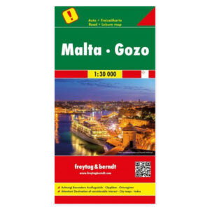
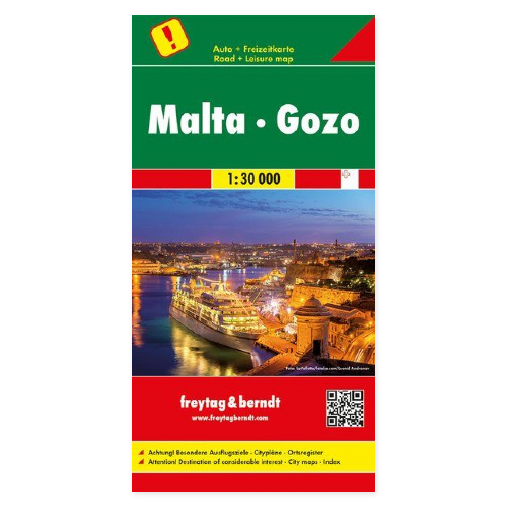
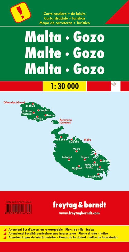
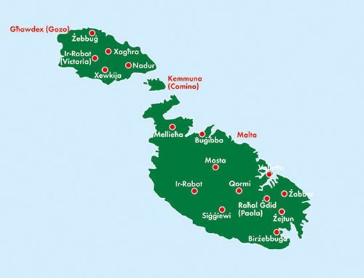
The Malta and Gozo road map at a scale of 1:30,000 is ideal for planning drives and excursions on the two islands. The scale corresponds to 300 metres per centimetre on the map, providing a detailed overview that can be used both before departure and along the way.
The map shows road standards, sights and campsites. This makes it easier to find interesting stops and see which roads connect the places you want to visit. A paper map is also useful when discussing your route with others without relying on a small screen.
City maps of Valletta, Rabat and Bugibba provide a more detailed overview of these areas. The comprehensive place-name index helps you locate places on the map, whether you’re planning a longer tour or a single day trip.
The included multilingual leisure booklet describes selected sights and excursion destinations in German, English, French and Italian. The booklet can be used together with the map to find ideas for experiences and place them along your route.
Practical information: Multilingual, folding road map. Scale 1:30,000. Folded size 13 × 25.5 cm. Publication year 2018. Publisher Freytag & Berndt.