
Description
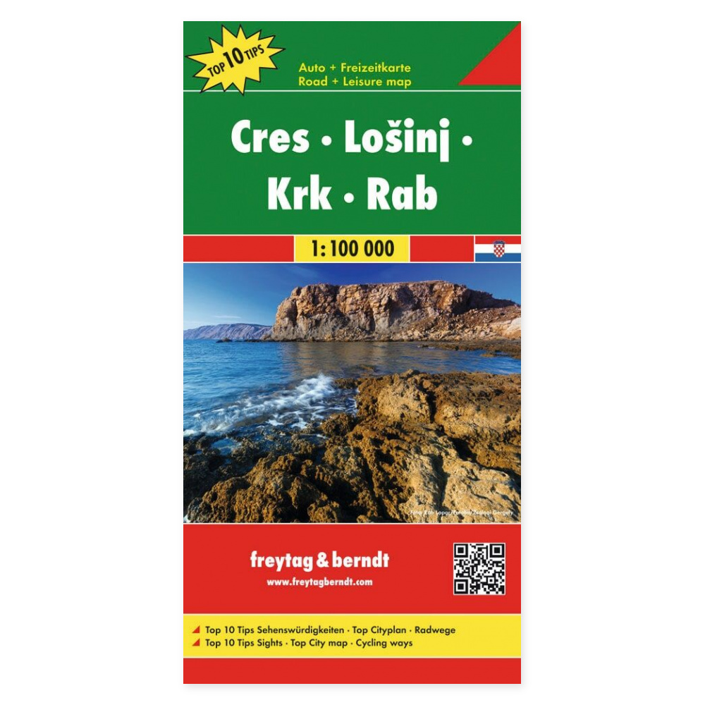
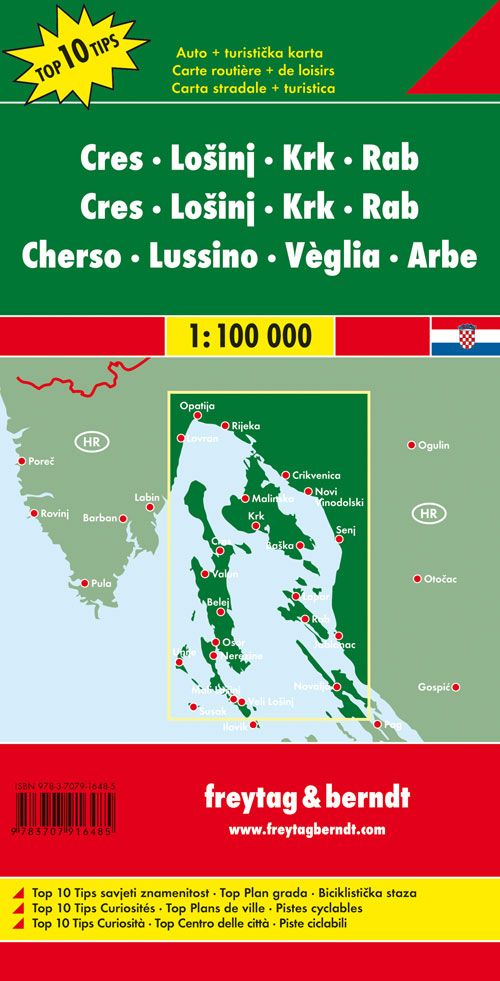
Multilingual road map of Cres, Lošinj, Krk and Rab at a scale of 1:100,000 provides a complete overview for planning trips and excursions. The paper map lets you see the destinations in context, compare route options, and choose stops before you set off.
Four islands in one map provides a complete overview of Cres, Lošinj, Krk and Rab. It is ideal for a holiday where you want to combine several destinations along the Croatian coast.
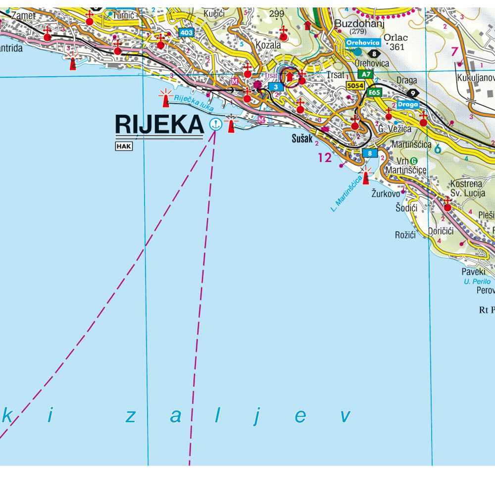
Info guide and city map of Rijeka supplement the map with useful travel information. Campsites and motorhome sites, along with a place index with postal codes, make it easier to plan stops. The unfolded size is approx. 110 × 82 cm.
Plan your trip on paper. Unfold the map to get an overview of a larger area and follow the connections between the places you want to visit. The multilingual design makes the map practical to use and share with others on your trip.
Practical information: Scale 1:100,000, equivalent to 1 km per centimeter. Year of publication 2022. ISBN 9783707916485. Publisher Freytag & Berndt.