


Description
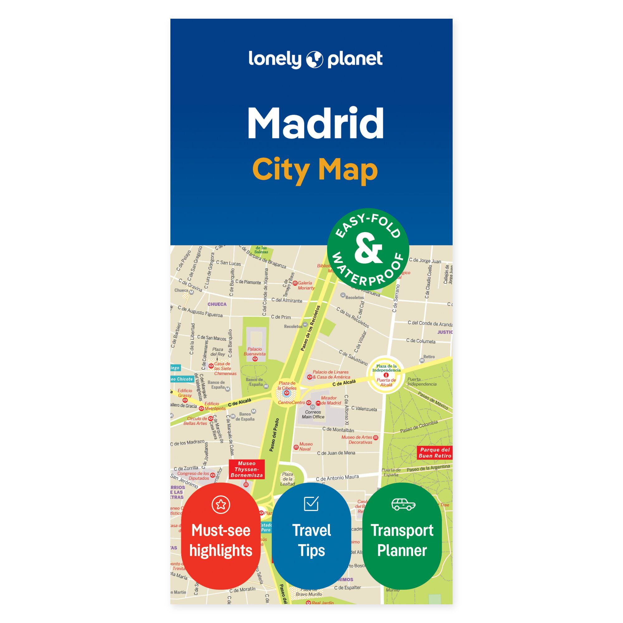
Visualize your options on the map. See how your daily plans in Madrid can connect before you head out. Lonely Planet’s city map provides a physical overview you can use to choose between areas, find your next stop, and allow for a small detour along the way.
Plan your own trip. The map covers Plaza Mayor, Royal Madrid, La Latina, Lavapiés, Sol, Santa Ana, Huertas, El Retiro, Salamanca, Malasaña, Chueca, and Parque del Oeste, among other areas. It includes a street and place index, transport map, suggested walking routes, and practical travel tips. Use it to group multiple visits within the same area and let the city districts shape your day.
Designed for portability. This foldable map is water-resistant and easy to unfold. You get a physical overview that can be used both before departure and during your trip, without needing to consult a screen. Lay the map out with your travel companions to see how the places you wish to visit relate to each other.
Consider selecting a few main stops and use the overview to explore possible detours. The map can remain open while you discuss the next stage, or be taken with you when following up on plans during your journey.
About the edition. Map with English text, published 2023. 2nd edition. ISBN 9781787017108.
