Description
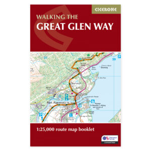
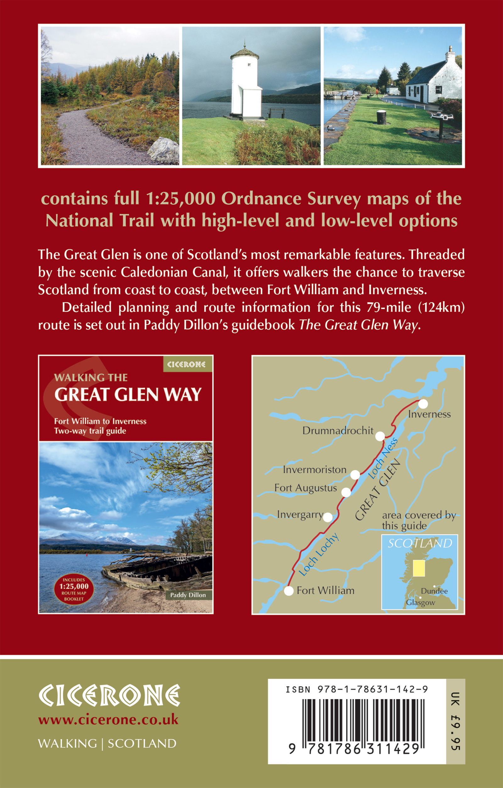
Map of the Great Glen through Scotland.
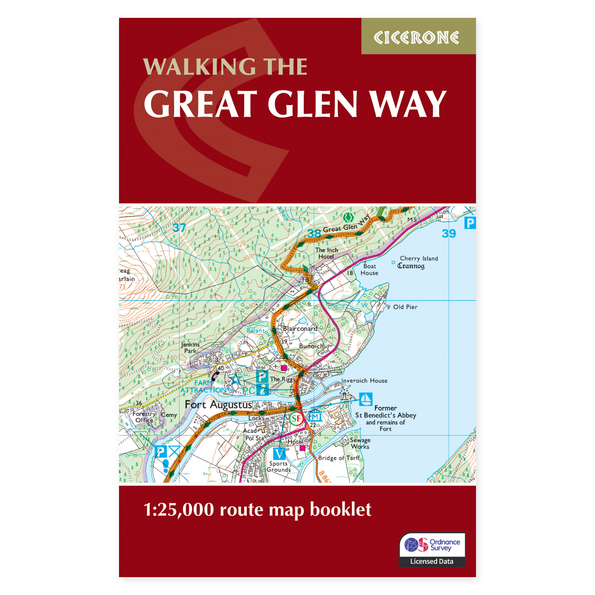
The Great Glen Way follows the great valley between Fort William and Inverness. The Caledonian Canal, forests, and long lochs create a different kind of highland walking than the steepest mountain routes. This map booklet provides continuous coverage of the route, letting you see both the day’s walk and the larger journey through the glen.
The entire route at 1:25,000.
The Ordnance Survey maps cover the approximately 117 kilometres from Fort William to Inverness and can be used in either direction. The compact booklet is easy to carry and use along the way. The map base is useful for seeing the relationship between the path, towns, waterways, and surrounding landscape in relation to the planned stage.
Lochs, canal, and highland history.
Loch Lochy, Loch Oich, and Loch Ness are central parts of the experience, with places such as Fort Augustus, Invermoriston, and Drumnadrochit along the route. Views towards the highlands and traces of the area’s history provide variety between walking days. The map booklet supports both a continuous walk and selected sections from one of the locations along the way.
A map product for the long-distance walk.
The Great Glen Way is mainly a lower, waymarked route often walked over five to six days. The separate Cicerone guidebook provides detailed route descriptions and practical planning information. Accommodation can be busy in summer, while winter brings short days and fewer options. Choose season and stage length according to experience and desired pace.
A long tradition of hiking guides.
Cicerone has published guidebooks since 1969. The publisher grew out of climbers and mountain people who wanted to share thorough knowledge of their routes – a tradition that still characterises these compact books for walking, trekking, and other outdoor experiences.
About this edition.
Author: Paddy Dillon. English language. 48 pages. Second edition, published in 2025. ISBN 9781786311429.