
Description
Coastal maps from Arnside to Chester.
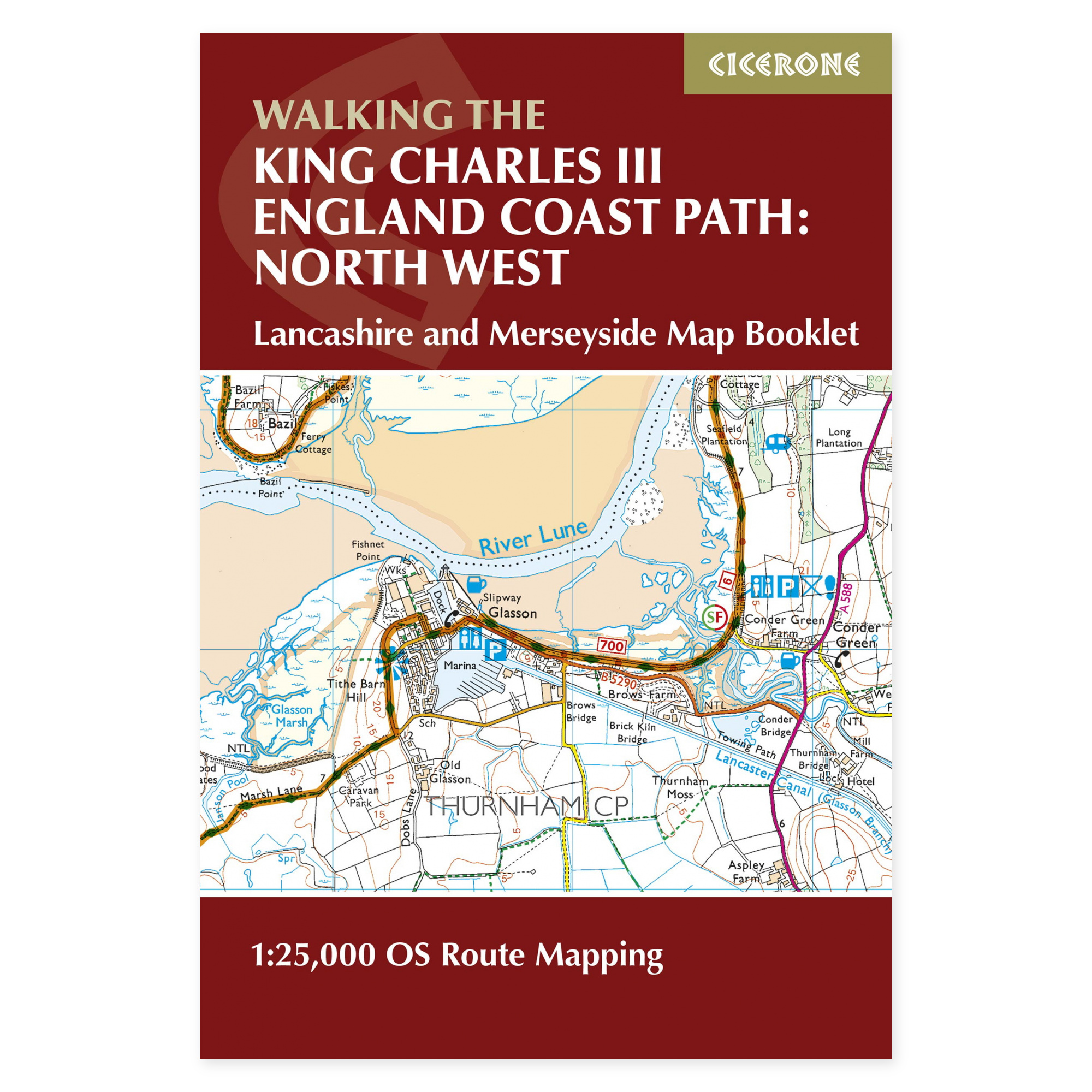
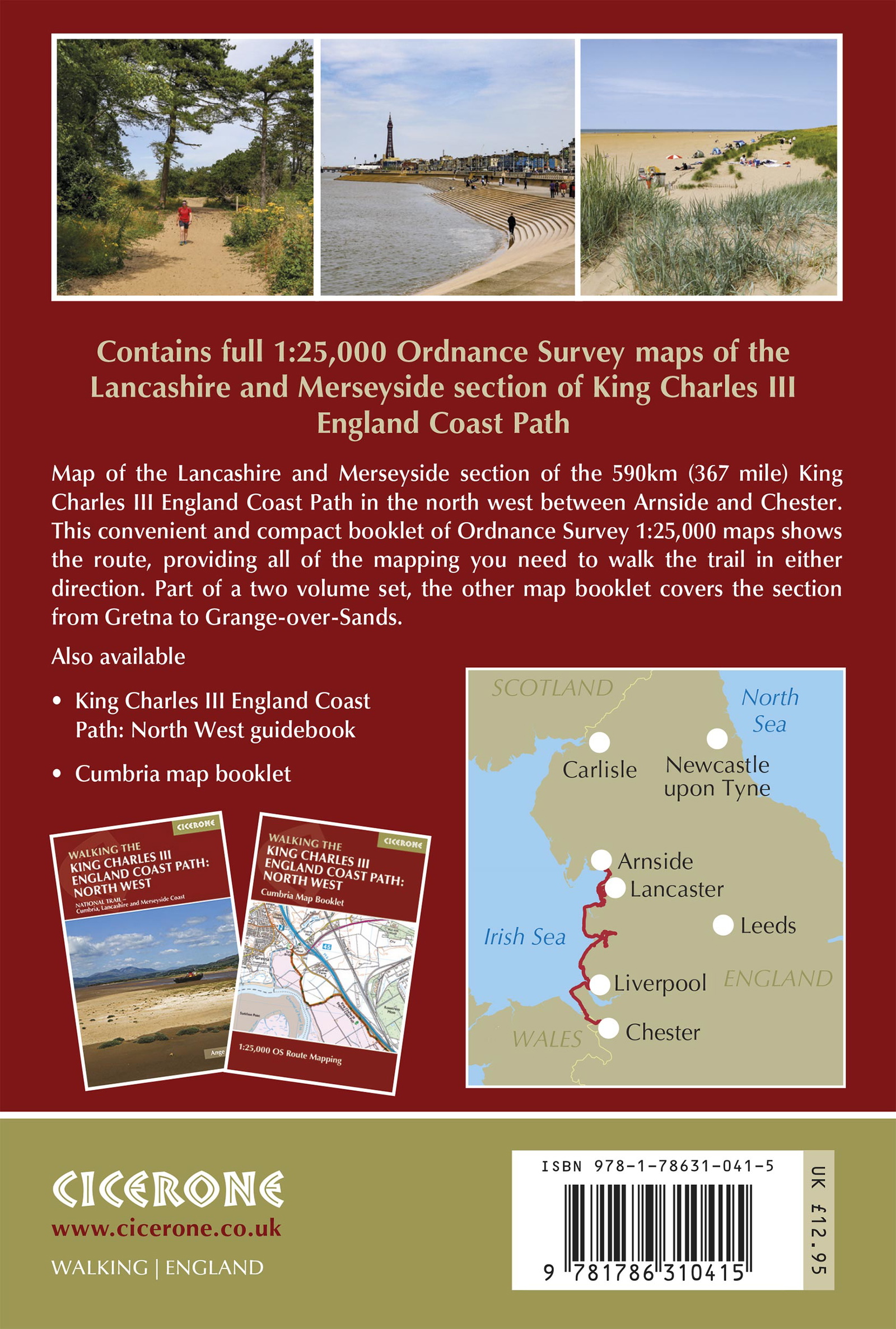
Lancashire and Merseyside showcase several facets of England’s northwest coast: wide bays, sand dunes, nature reserves, and vibrant port cities. This map booklet follows the King Charles III England Coast Path from Arnside to Chester. It provides a continuous map presentation that helps you place the day’s hike within the larger coastal journey.
Ordnance Survey at 1:25,000.
The booklet shows the marked route line on detailed OS maps, including coastal access points, settlements, and key landmarks along the way. The maps can be used when planning direction and daily distance, and as support out on the trail. The compact format is easy to keep accessible during the trip, whether you are following a short section or hiking over several days.
Bays, dunes, and city life.
Morecambe Bay, Lancaster, Blackpool, Sefton’s long dune system, and Liverpool’s harbor areas provide very different hiking experiences. Further south, the coast follows the Wirral and parts of Cheshire. You can use the map booklet to find the connection between open coastal sections, promenades, and locations providing opportunities for transport, food, and accommodation.
Choose a map booklet or full guide.
This is a map product. Cicerone’s separate guide to the entire North West stretch provides detailed stage descriptions and practical planning material. A separate map booklet covers Cumbria further north. Spring and summer offer longer days; tides, weather, and any changes to the coastal route must be included in planning regardless of when you walk.
A long tradition of hiking guides.
Cicerone has published guidebooks since 1969. The publisher grew from climbers and mountain folk who wanted to share thorough knowledge of their routes – a tradition that still characterizes these compact books for walking, trekking, and other outdoor experiences.
About this edition.
Author: Ange Harker. English language. 88 pages. First edition, published in 2025. ISBN 9781786310415.