


Description
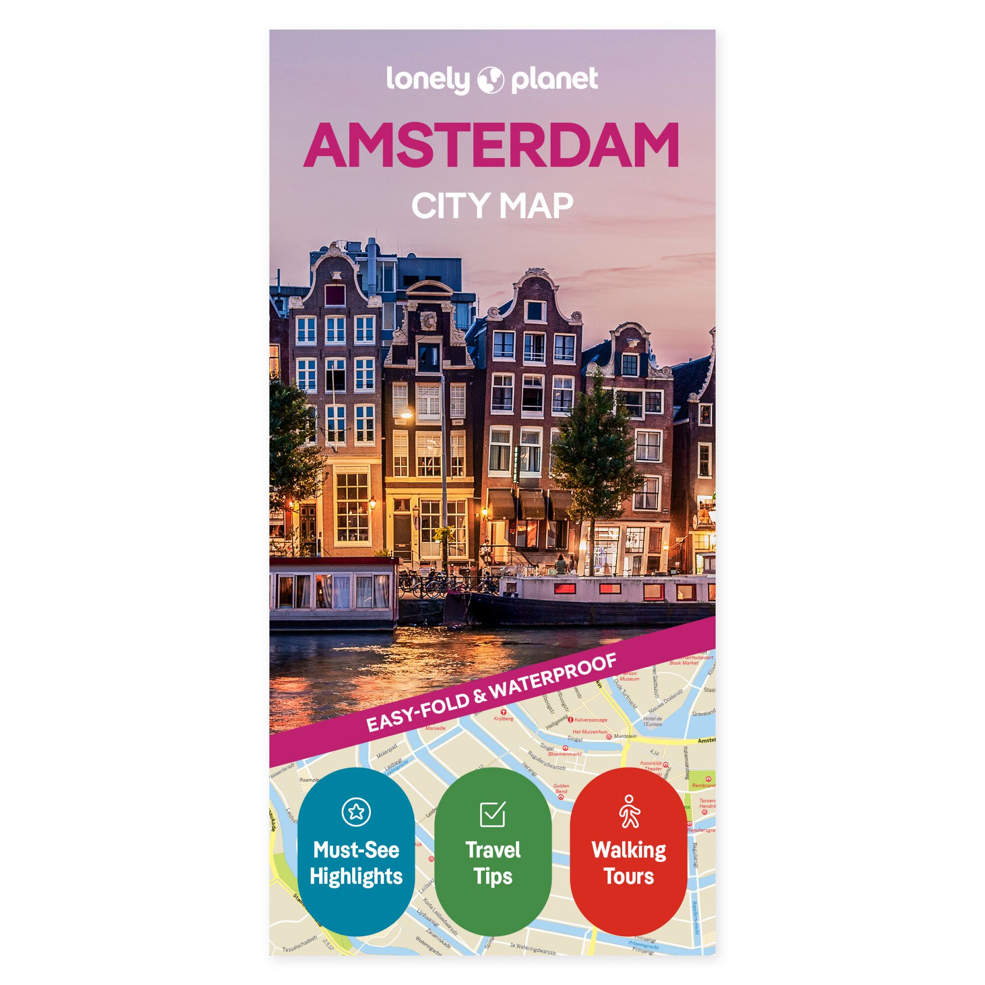
Visualize your journey on the map. Canals, art museums, and various districts become easier to contextualize when you have the city in front of you on a map. The Lonely Planet Amsterdam City Map provides a physical overview that you can use both before departure and when choosing your next stop.
The map covers areas including Jordaan, Centrum, Nieuwmarkt, Plantage, Oud West, and Oud Zuid. It features a grid for locating places, explanations of public transport, and tips for highlights such as the Van Gogh Museum and Rembrandthuis. Vondelpark and the city’s historic center offer further opportunities to plan a day with varied stops.
Practical to carry. The map is in color, water-resistant, and easy to fold. It comes with a protective sleeve. You can use it to gain an overview without zooming on a screen, and as a supplement to your travel guide when planning the day’s stages.
The unfolded format is 63 × 49.4 cm. When folded, the map measures 9.5 × 19.7 cm.
About the edition. English edition, published 2026. ISBN 9781837584666.
