


Description
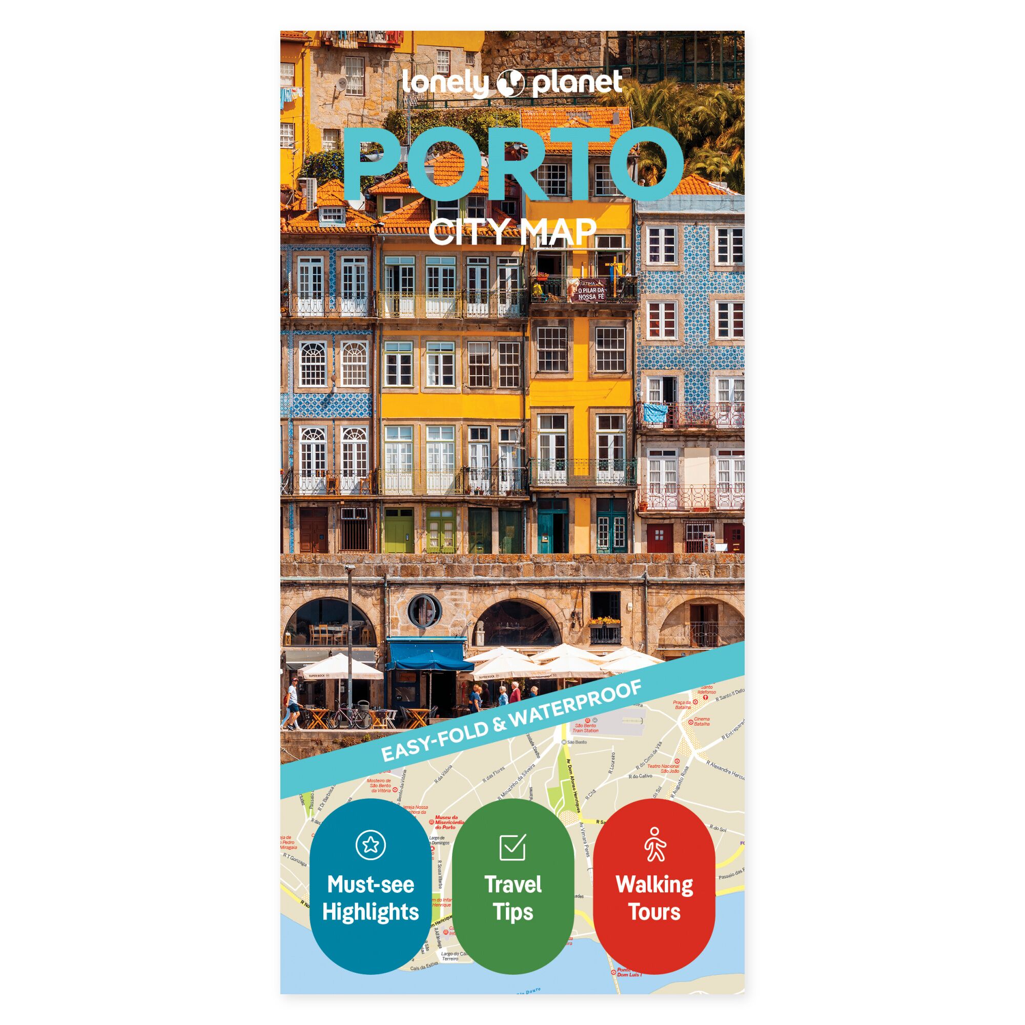
Explore the possibilities on the map. Visualize how Porto’s neighborhoods and attractions relate to each other before planning your day. A paper city map makes it easier to group visits, find a natural path through the city, and allow for pleasant breaks.
Plan your own trip. The map covers areas including Boavista, Cedofeita, Foz do Douro, Miragaia, Ribeira, Serralves, and Vila Nova de Gaia. A street and sights index, transport map, walking routes, and practical tips will assist your planning. Allow one or two areas to be the starting point for a day, providing time to experience more along the way.
Designed for portability. The foldable map is water-resistant and easy to unfold. It offers a physical overview that can be used both before departure and during your trip, without needing a screen. Lay out the map with your travel companions and visualize the relative locations of the places you wish to visit.
Select a few main stops and use the overview to investigate possible detours. The map can remain open while you discuss the next leg of your journey, or be taken with you when it’s time to follow your plans on the trip.
About the edition. Map with English text, published 2025. 2nd edition. ISBN 9781787016293.
