-
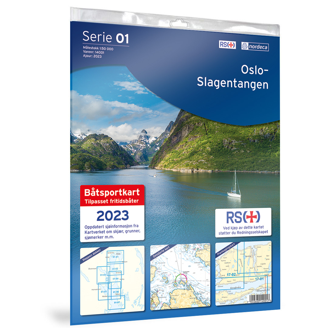
01-Oslo-Slagentangen Nautical Chart
Detailed nautical chart covering the Oslo–Slagentangen stretch, published by Nordic Maps (formerly Nordeca). The chart is developed for clear and practical navigation along the coast and is based on official chart data from the Norwegian Mapping Authority. This title is permanently out of stock and will not be reprinted.For coverage of the Oslo Fjord we…
-
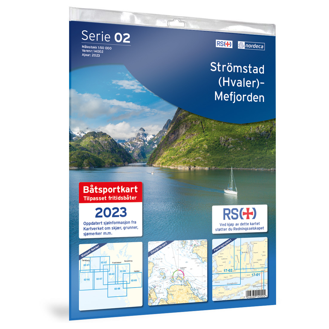
02-Strömstad (Hvaler)-Mefjorden Nautical Chart
Detailed nautical chart covering the stretch Strömstad (Hvaler)-Mefjorden, published by Nordic Maps (formerly Nordeca). The chart is developed for clear and practical navigation along the coast and is based on official chart data from the Norwegian Mapping Authority. This nautical chart is permanently out of stock and will not be reprinted.For coverage of the area…
-
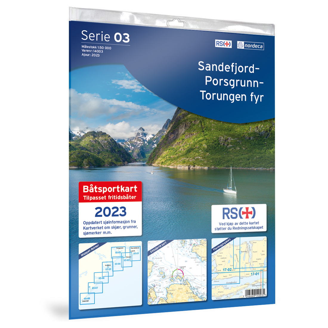
03-Sandefjord-Porsgrunn-Torungen Boating Chart
Detailed boating chart covering the stretch Sandefjord-Porsgrunn-Torungen, published by Nordic Maps (formerly Nordeca). The chart is designed for clear and practical navigation along the coast and is based on official chart data from Kartverket. This boating chart is permanently out of stock and will not be reprinted.For coverage of the Sandefjord–Porsgrunn–Torungen area, we recommend NV…
-
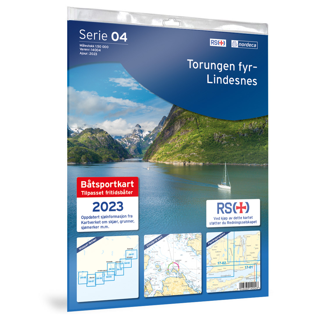
04-Torungen Lighthouse-Lindesnes Boating Chart
Detailed boating chart covering the stretch Torungen Lighthouse-Lindesnes, published by Nordic Maps (formerly Nordeca). The chart is developed for clear and practical navigation along the coast and is based on official chart data from the Norwegian Mapping Authority.
-

05-Lindesnes-Kolnesholmane-Tananger Boating Chart
Detailed boating chart covering the stretch Lindesnes-Kolnesholmane-Tananger, published by Nordic Maps (formerly Nordeca). The chart is developed for clear and practical navigation along the coast and is based on official chart data from the Norwegian Mapping Authority.
-
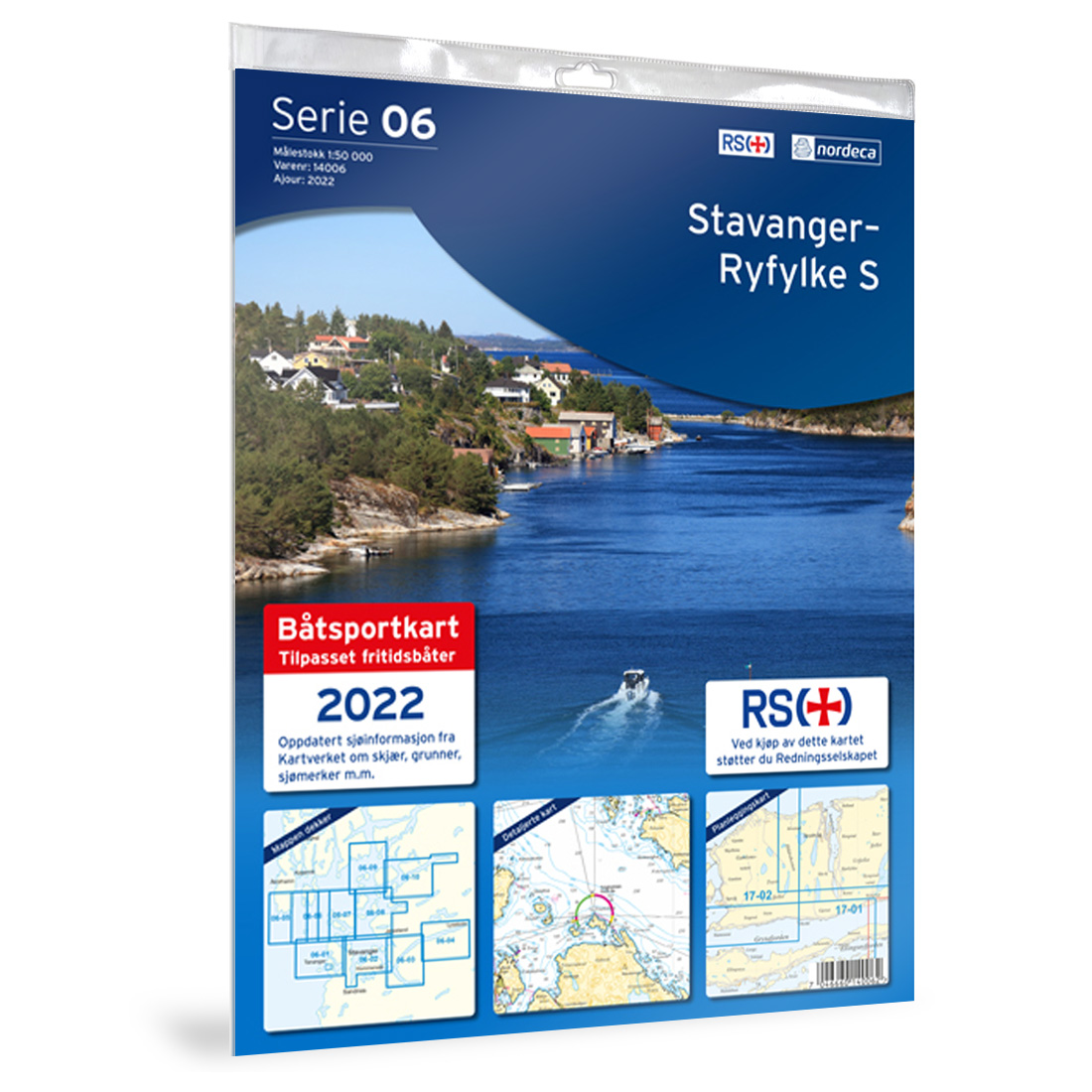
06-Stavanger-Ryfylke S Nautical Chart
Detailed nautical chart of Stavanger and the southern part of Ryfylke, published by Nordic Maps (formerly Nordeca). The chart is developed for clear and practical navigation along the coast and is based on official chart data from the Norwegian Mapping Authority.
-
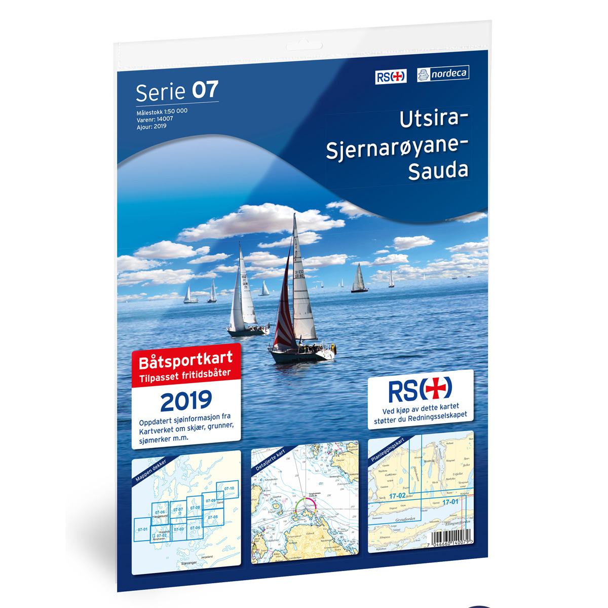
07-Utsira-Sjernarøyane-Sauda Boating Chart
Detailed boating chart for the area Utsira-Sjernarøyane-Sauda, published by Nordic Maps (formerly Nordeca). The chart is designed for clear and practical navigation along the coast and is based on official map data from The Norwegian Mapping Authority. This boating chart is permanently sold out and will not be reprinted.For coverage of the Utsira, Sjernøyane, and…
-

08-Haugesund-Langenuen Nautical Chart
Detailed nautical chart for the Haugesund-Langenuen area, published by Nordic Maps (formerly Nordeca). The chart is developed for clear and practical navigation along the coast and is based on official chart data from the Norwegian Mapping Authority.
-
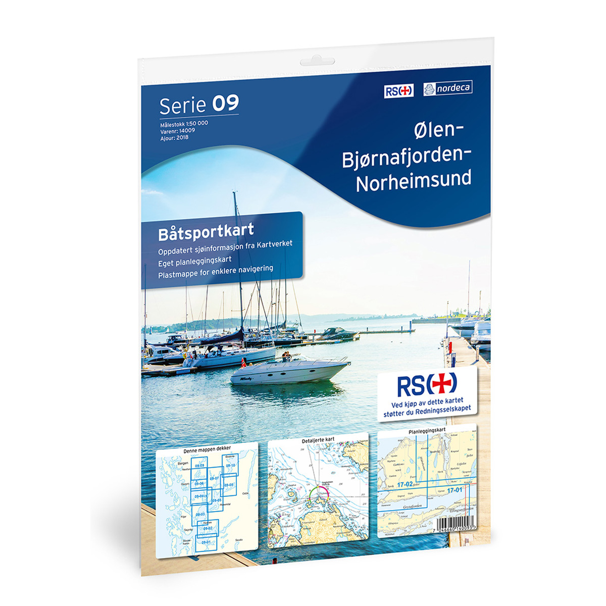
09-Ølen-Bjørnafjorden-Norheimsund Small Craft Chart
Detailed small craft chart of the Ølen-Bjørnafjorden-Norheimsund stretch, published by Nordic Maps (formerly Nordeca). The chart is developed for clear and practical navigation along the coast and is based on official map data from the Norwegian Mapping Authority. This small craft chart is permanently out of stock and will not be reprinted.For coverage of the…
-
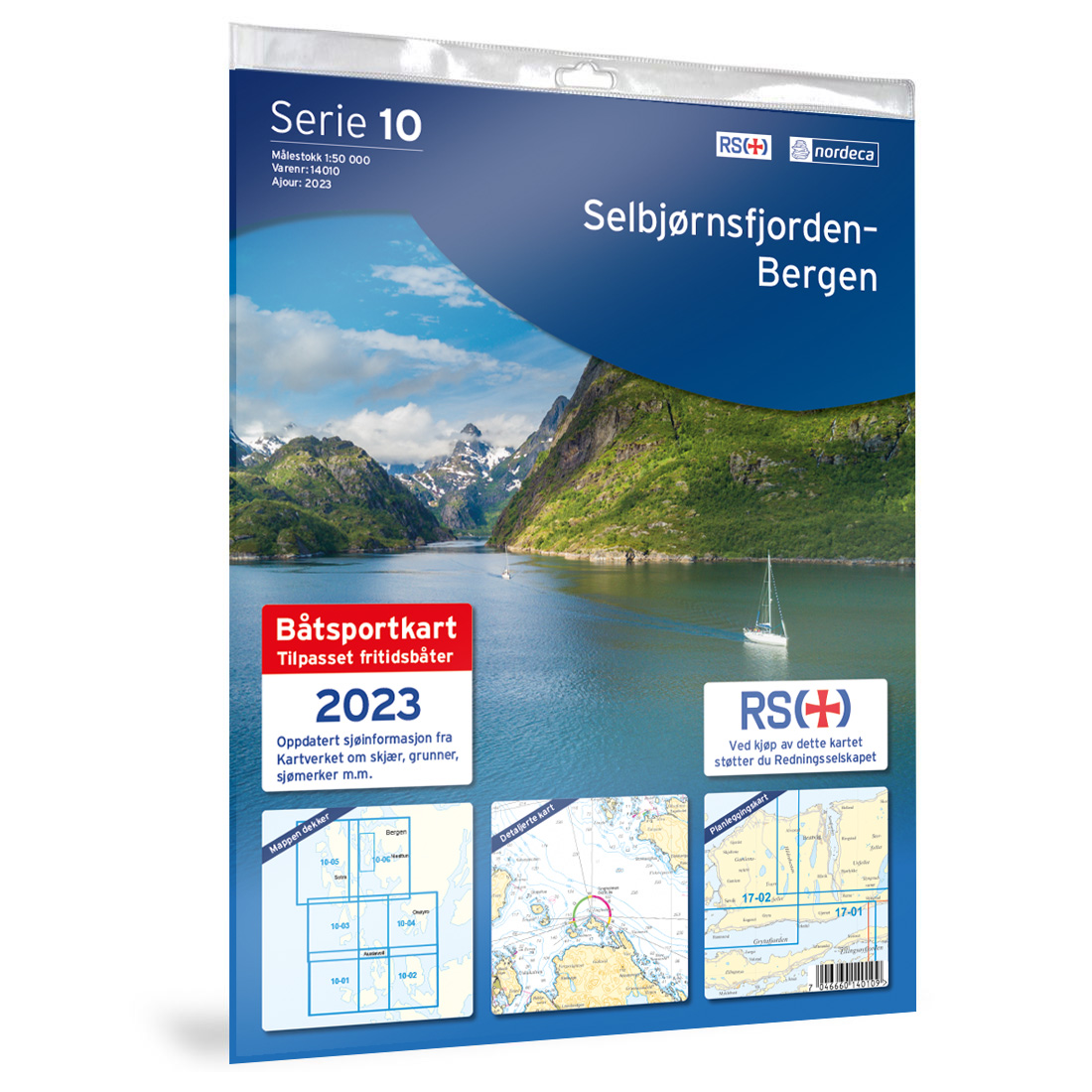
10-Selbjørnsfjorden-Bergen Boating Chart
Detailed boating chart covering the stretch Selbjørnsfjorden-Bergen, published by Nordic Maps (formerly Nordeca). The chart is designed for clear and practical navigation along the coast and is based on official chart data from Kartverket.
-
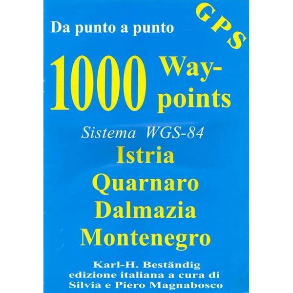
1000 Waypoints – Adriatic Sea (Istria, Quarnaro, Dalmazia, Montenegro)
More than 1,000 GPS waypoints for the Adriatic coastline, including Istria, Quarnaro, Dalmazia and Montenegro – ready for import into GPS.
-
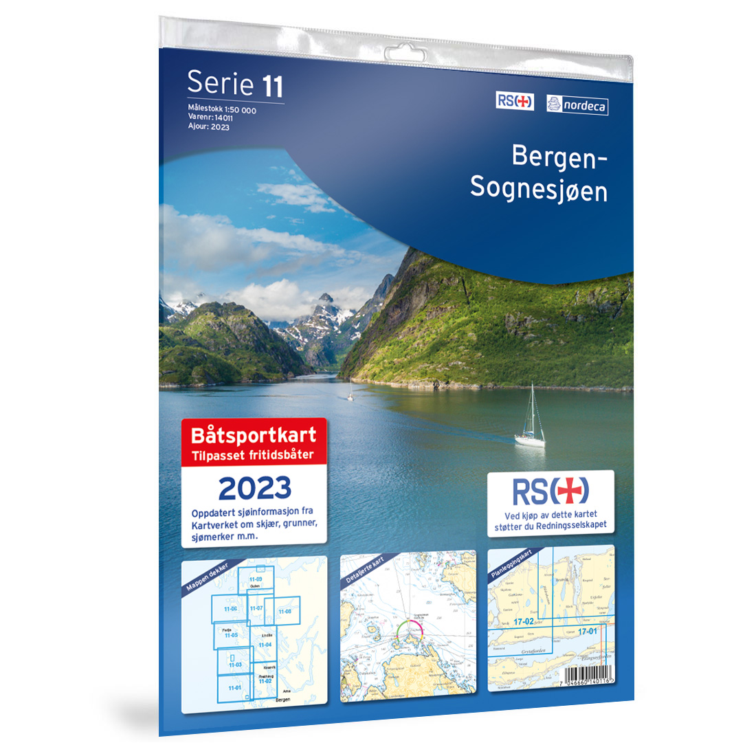
11-Bergen-Sognesjøen Boating Chart
Detailed boating chart for the stretch Bergen-Sognesjøen, published by Nordic Maps (formerly Nordeca). The chart is developed for clear and practical navigation along the coast and is based on official chart data from Kartverket.
-
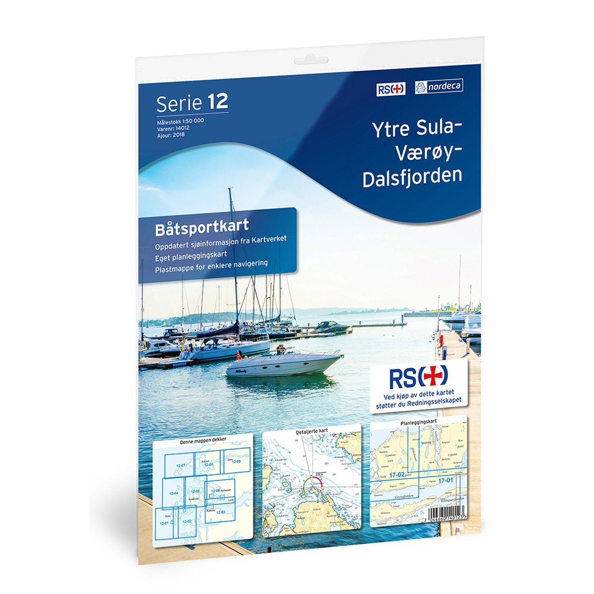
12-Ytre Sula-Værøy-Dalsfjorden Small Craft Chart
Detailed small craft chart for the Ytre Sula-Værøy-Dalsfjorden area, published by Nordic Maps (formerly Nordeca). The chart is developed for clear and practical coastal navigation and is based on official chart data from the Norwegian Mapping Authority.
-

14-Stavenes-Sunnfjord-Florø Nautical Sports Chart
Detailed nautical sports chart covering the stretch Stavenes-Sunnfjord-Florø, published by Nordic Maps (formerly Nordeca). The chart is developed for clear and practical navigation along the coast and is based on official chart data from the Norwegian Mapping Authority.
-
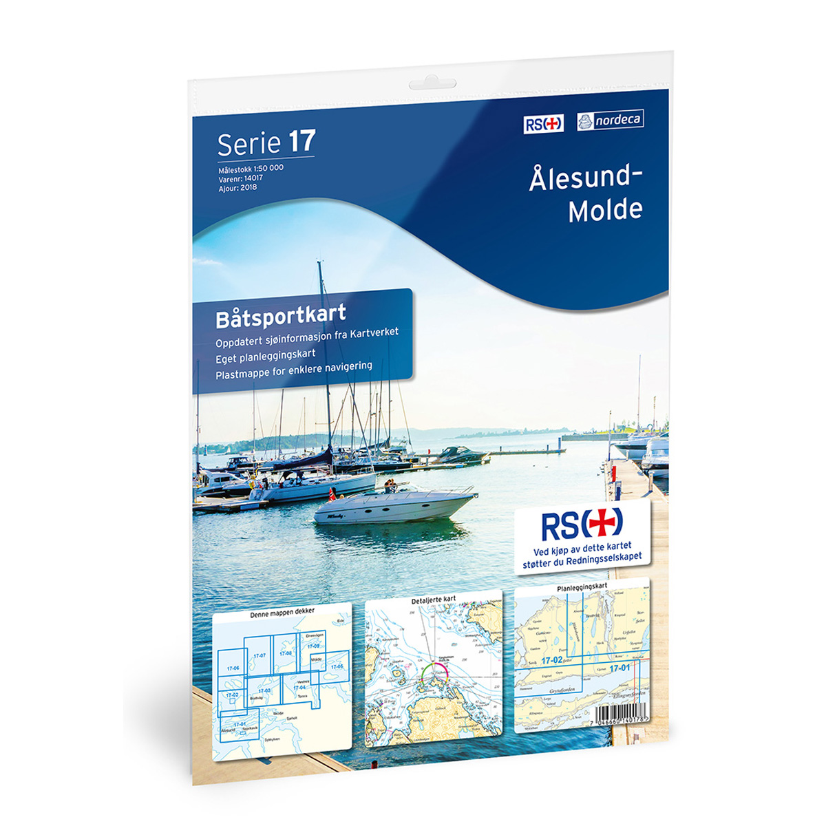
17-Ålesund-Molde Nautical Chart
Detailed nautical chart for the stretch between Ålesund and Molde, published by Nordic Maps (formerly Nordeca). The chart is designed for clear and practical navigation along the coast and is based on official chart data from Kartverket. This nautical chart is permanently out of stock and will not be reprinted.For coverage of the area, we…
-
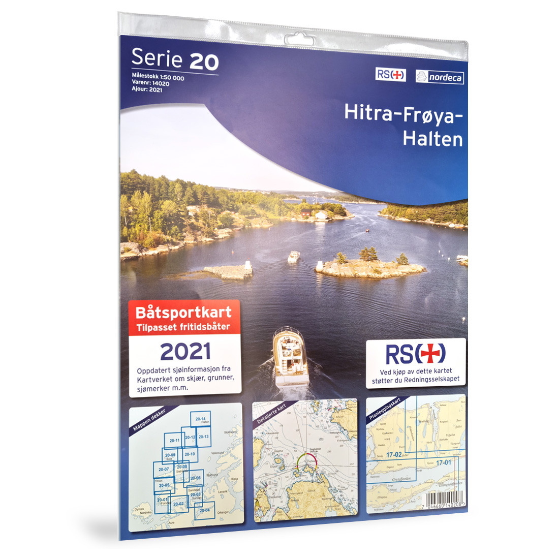
20-Hitra-Frøya-Halten Nautical Chart
Detailed nautical chart for the stretch Hitra-Frøya-Halten, published by Nordic Maps (formerly Nordeca). The chart is designed for clear and practical navigation along the coast and is based on official chart data from Kartverket.
-
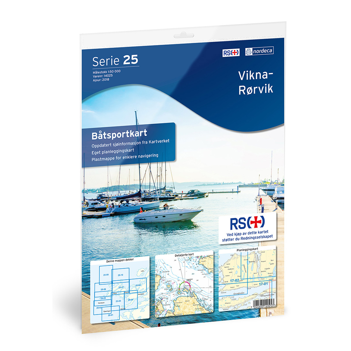
25-Vikna-Rørvik Boating Chart
Detailed boating chart of the Vikna-Rørvik stretch, published by Nordic Maps (formerly Nordeca). The chart is developed for clear and practical navigation along the coast and is based on official map data from the Norwegian Mapping Authority.
-
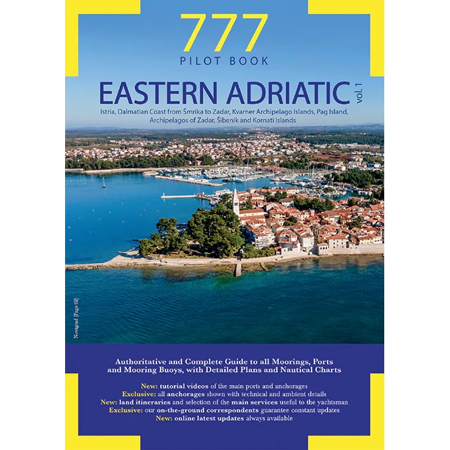
777 Eastern Adriatic – Vol. 1
777 Eastern Adriatic – Vol. 1 is a comprehensive pilot book for sailing along the eastern Adriatic coast. The book covers Istria, the Dalmatian coast from Smrika to Zadar, as well as the archipelagos around Kvarner, Pag, Zadar, Šibenik and Kornati. Providing detailed information on ports, moorings, anchorages and navigation, the guide is a key…
-
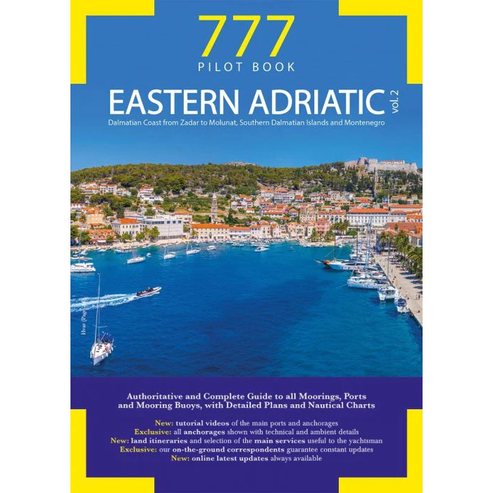
777 Eastern Adriatic – Vol. 2
777 Eastern Adriatic – Vol. 2 is a comprehensive pilot book for sailing in the southern part of the Adriatic Sea. The book covers the Dalmatian coast from Zadar to Molunat, the southern Dalmatian islands and Montenegro. Providing detailed information on ports, moorings, anchorages and navigation, the guide is a key reference work for sailors…
-
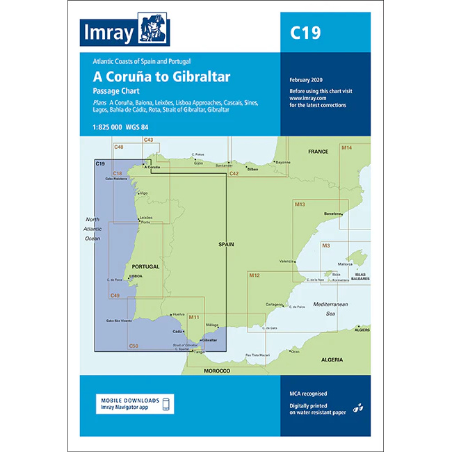
A Coruña to Gibraltar – Imray C19
Detailed Imray boating map for the Atlantic coast from A Coruña to Gibraltar.