
Description
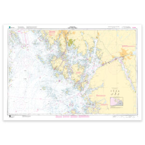
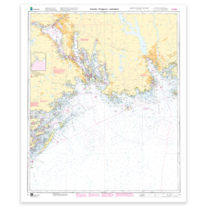
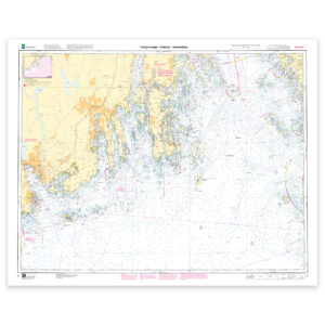
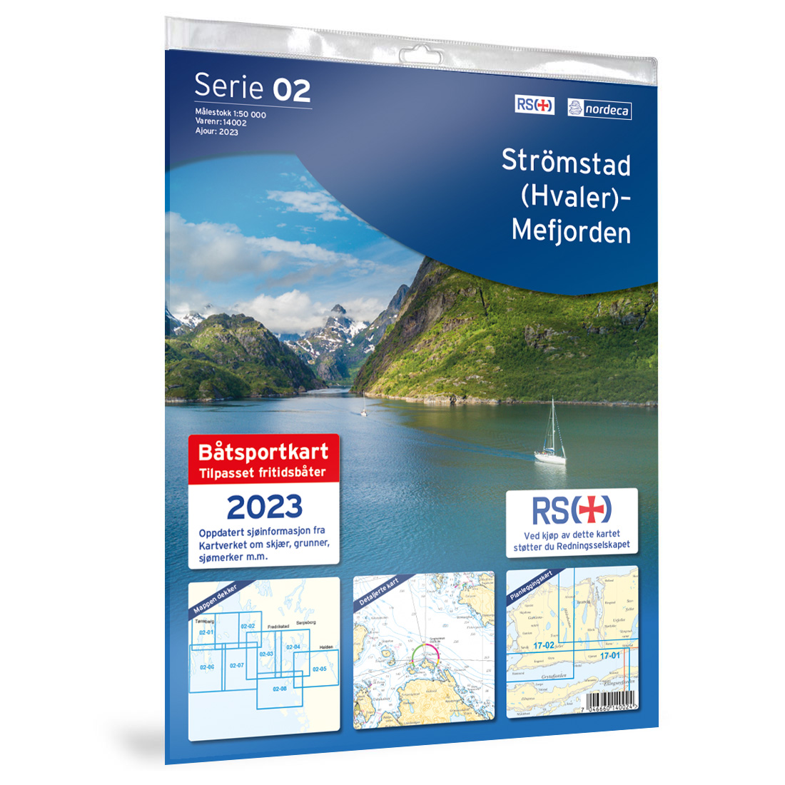
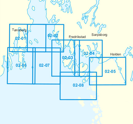
This nautical chart covers the area from Strömstad (Hvaler)-Mefjorden and provides a clear and detailed representation of coastline, fairways, shoals, lighthouses and maritime installations. The chart is developed for practical use in recreational boating and provides a solid foundation both for voyage planning and for navigation along the coast and in the archipelago.
The chart is published by Nordic Maps (formerly Nordeca) and is based on official chart data from the Norwegian Mapping Authority. Publication year for this chart is 2023. For navigation where fully updated nautical charts are required, or where navigation takes place in areas with frequent changes, the use of the Norwegian Mapping Authority’s official nautical chart sheets is recommended.
Nordeca Nautical Charts have for several decades been among the most widely used charts for recreational boats in Norway, and are known for good readability, clear symbols and practical design. The chart series covers the Norwegian coast in continuous chart sheets and has been a reliable and well-proven tool for boaters throughout the country.
This chart series is no longer being reprinted, and the charts are sold while stocks last. The chart thus represents a classic nautical chart from Nordic Maps, developed with focus on practical use and safe navigation at sea.