


Mountain trekking · Forest walks · Border regions
Hiking maps of Sweden
From Abisko and Kebnekaise to the Jämtland mountains. Find maps of Swedish mountain regions, forests and popular hiking areas from Calazo and Nordic Maps.
Choose a detailed map for a smaller area or a regional map for a longer trek. Check the product description for coverage, scale and material.
Abisko and Kebnekaise
Find both regional maps and mountain maps with closer terrain detail. Match the scale to the extent of your route.
Jämtland and the border mountains
Explore Swedish mountain areas and destinations close to Norway. Check that the sheet covers every stage of your walk.
Calazo and Nordic Maps
Map series differ in sheet boundaries and scale. Choose according to your destination rather than the series name alone.
Explore the Calazo range →All hiking maps of Sweden
Browse the complete Sweden range. Open a product for coverage, scale and edition details.
-
In stock
Rogen Swedish Mountain Map
19,14 € Add to cart -
In stock
Romboleden Outdoor Atlas 1:50,000
26,80 € Add to cart -
In stock

S:t Anna and Gryts Archipelago Hiking Map 1:50,000
15,30 € Add to cart -
In stock
Sälen & Fulufjället 1:50,000
15,30 € Add to cart -
In stock
Sälenfjällen 1:25,000
15,30 € Add to cart -
In stock

Sarek & Padjelanta Hiking Map 1:100,000
15,30 € Add to cart -
In stock

Sarek National Park Hiking Map 1:50,000
15,30 € Add to cart -
In stock

Skäckerfjällen & Offerdalsfjällen Hiking Map 1:50,000
15,30 € Add to cart -
In stock
Skäckerfjällen Swedish Mountain Kart
19,14 € Add to cart -
In stock

Skåneleden (Danish) Outdoor Atlas 1:50,000
28,72 € Add to cart -
In stock

Skövde, Billingen & Kinnekulle Hiking Map 1:50,000
15,30 € Add to cart -
In stock
Södertälje Gnesta Åkers Styckebruk hiking map 1:50,000
15,30 € Add to cart -
In stock
Sonfjället Swedish Mountain Map
19,14 € Add to cart -
In stock

Sörmland Archipelago Hiking Map 1:50,000
15,30 € Add to cart -
In stock

Sörmland Archipelago Skating Map 1:50,000
19,14 € Add to cart -
In stock
Sörmlandsleden Outdoor Atlas 1:50,000
28,72 € Add to cart -
Low stock

Southern Bohuslän Tourist Map 1:50,000
15,30 € Add to cart -
In stock
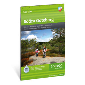
Southern Gothenburg Tourist Map 1:50,000
15,30 € Add to cart -
In stock
Southern Gotland Hiking Map 1:50,000
15,30 € Add to cart -
In stock

Southern Halland Hiking Map 1:50,000
15,30 € Add to cart -
In stock

Southern Stockholm Tourist Map 1:50,000
15,30 € Add to cart -
In stock

Southwest Skåne Hiking Map 1:50,000
15,30 € Add to cart -
In stock

Stockholm Archipelago – Northern Skating Map 1:50,000
19,14 € Add to cart -
In stock

Stockholm Archipelago – Southern Skøyte Map 1:50,000
19,14 € Add to cart -
In stock
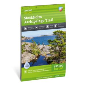
Stockholm Archipelago Trail Hiking Map
15,30 € Add to cart -
In stock

Stockholm Skating Map 1:30,000
15,30 € Add to cart -
In stock
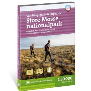
Store Mosse National Park – Hiking Guide with Map (Swedish)
38,33 € Add to cart -
In stock
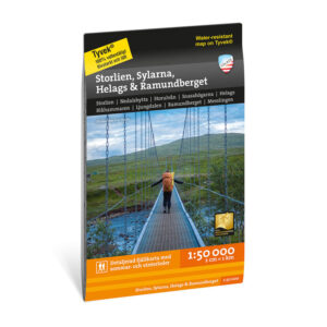
Storlien Sylarna Helags Ramundberget 1:50.000
15,30 € Add to cart -
In stock

Storulvån & Snasahögarna High Mountain Map 1:20,000
15,30 € Add to cart -
In stock

Sydostleden cycling atlas 1:50 000
22,98 € Add to cart
What should you check in a Swedish hiking map?
A large-scale mountain map shows a smaller area in closer detail, while a regional map provides an overview for longer treks. Pay particular attention to coverage if your route crosses into Norway. Materials and printed languages vary by product; an English product page does not necessarily mean the map itself has English text.
Want to compare destinations and map series across borders? Explore all hiking maps →