Jotunheimen
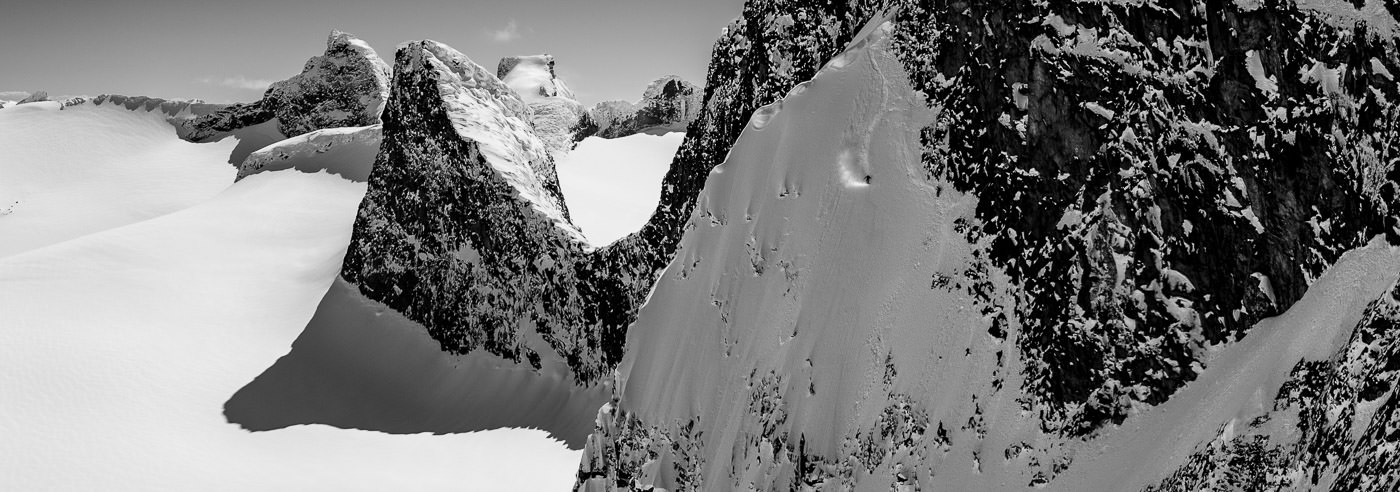
Jotunheimen is mainland Norway’s mightiest mountain massif and one of the country’s most popular areas for hiking and skiing. The area borders Sjodalen and Valdresflye to the east, Skarvheimen to the south, and Sognefjellet and Bøverdalen to the west and north. The landscape consists of sharp mountain ridges, high peaks, glaciers and vast plateaus.
All Norwegian mountain peaks above 2,300 m above sea level are located in Jotunheimen, including Galdhøpiggen (2,469 m above sea level), Glittertinden (2,452 m above sea level) and Store Skagastølstind (2,405 m above sea level). The area contains some of the most alpine terrain in Norway and is an important destination for summit tours, glacier hiking and climbing.
Jotunheimen is well-equipped for travel, with an extensive network of marked and unmarked trails, as well as many staffed and unstaffed cabins. Classic routes include Besseggen, the areas around Sognefjellet and Leirvassbu, as well as the alpine mountains in Hurrungane. Common starting points include Gjendesheim, Juvasshytta, Spiterstulen, Leirvassbu and Sognefjellet.
In winter, Jotunheimen is a central area for mountain skiing and off-piste skiing, with long routes, large elevation differences and weather-exposed terrain. The scale and variation of the landscape make good maps essential for safe planning and travel, both summer and winter.
Hiking Maps of Jotunheimen
Hiking maps covering Jotunheimen National Park and adjacent mountain areas, suitable for hiking, summit tours, cabin-to-cabin and glacier hiking.
-
Bestselger
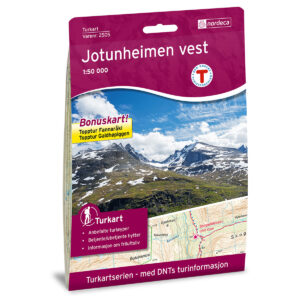
Jotunheimen Vest DNT Turkart
$27.23 Add to cart -
Bestselger
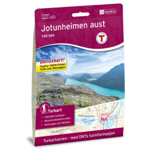
Jotunheimen Aust DNT Turkart
$27.23 Add to cart -
Galdhøpiggen DNT Turkart
$27.23 Add to cart -
Breheimen Nasjonalpark Topo 3000 Turkart
$27.23 Add to cart -

Turkart Jostedalsbreen & Breheimen 1:50.000
$25.12 Add to cart -

Turkart Jotunheimen 1:50.000
$25.12 Add to cart -
Høyfjellskart Jotunheimen: Besseggen & Bygdin 1:25.000
$25.12 Add to cart -
Høyfjellskart Jotunheimen: Galdhøpiggen & Glittertinden 1:25.000
$25.12 Add to cart -
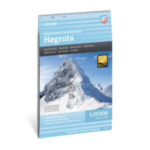
Høyfjellskart Jotunheimen: Høgruta 1:25.000
$25.12 Add to cart -
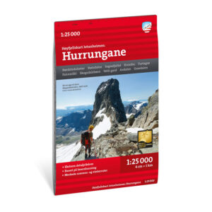
Høyfjellskart Jotunheimen: Hurrungane 1:25.000
$25.12 Add to cart -

Høyfjellskart Jotunheimen: Smørstabbtindan & Leirvassbu 1:25.000
$25.12 Add to cart -
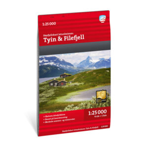
Høyfjellskart Jotunheimen: Tyin & Filefjell 1:25.000
$25.12 Add to cart -
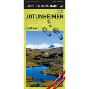
Jotunheimen fjellkart
$27.23 Add to cart
Experience Guides and Road Maps of Jotunheimen
Experience guides and road maps for planning travel and access to Jotunheimen, including Sognefjellet, Valdresflye, Lom and surrounding valleys.

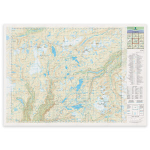
The Norwegian Mapping Authority’s N50 Series – Jotunheimen
The Norwegian Mapping Authority’s N50 map series is Norway’s official land map, in a new version published in May 2025. The maps provide detailed and easy-to-read terrain information, and are delivered as print-on-demand on rolls in 103 × 73 cm format.

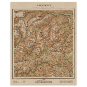
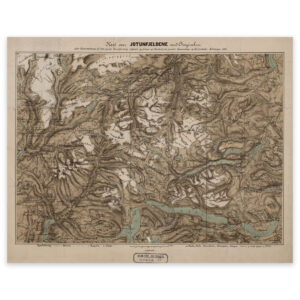
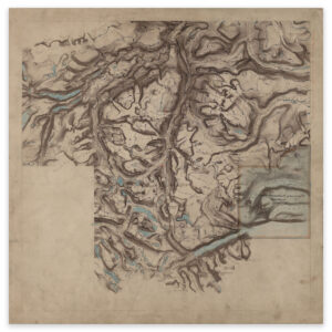
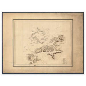
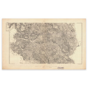
Historical Maps of Jotunheimen
Historical maps showing Jotunheimen and the mountain areas in Innlandet and Vestland as they have been previously mapped, suitable both as reference and decorative wall maps.