Preikestolen and Kjeragbolten
Preikestolen is Norway’s most popular hiking destination and one of the country’s most famous viewpoints, situated 600 meters above the Lysefjord. The flat plateau measures approximately 25 × 25 meters and offers spectacular views of the fjord and the surrounding dramatic mountain landscape. Over 300,000 people visit Preikestolen every year, and the area is frequently highlighted by international travel guides as one of the world’s most impressive viewpoints.
The Lysefjord is known for its steep mountainsides and magnificent landscapes, featuring a combination of mountains, fjords, cultural landscapes, and vibrant villages. The area offers varied hiking terrain, including marked trails, forested sections, and high mountain plateaus.
Kjerag is located at the innermost part of the Lysefjord and is the highest peak along the fjord, reaching 1,084 m above sea level. The most famous landmark is Kjeragbolten – a round boulder wedged between two rock faces high above the fjord. The Kjerag plateau is also renowned for mountain climbing and BASE jumping.
Hiking maps of Preikestolen and Kjeragbolten
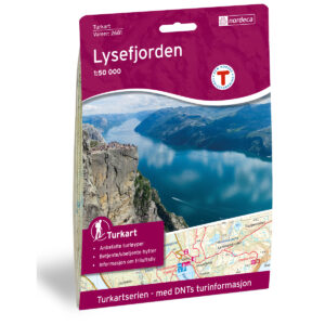
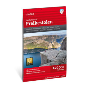
Hiking maps covering Preikestolen, Kjerag, and the areas around the Lysefjord, suitable for both day trips and longer mountain treks in varied terrain.

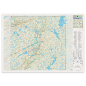
The Norwegian Mapping Authority’s N50 series – Preikestolen and Kjeragbolten
The Norwegian Mapping Authority’s N50 map series is Norway’s official topographic map series, with a new version released in May 2025. The maps provide detailed and easy-to-read terrain information and are delivered as print-on-demand rolls in 103 × 73 cm format.

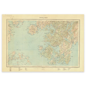
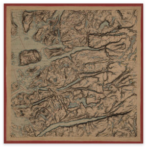
Historical maps of Preikestolen and Kjeragbolten
A selection of historical maps showing the Lysefjord and the areas around Preikestolen and Kjeragbolten as they were previously mapped, suitable as both references and decorative wall maps.