Rallarvegen
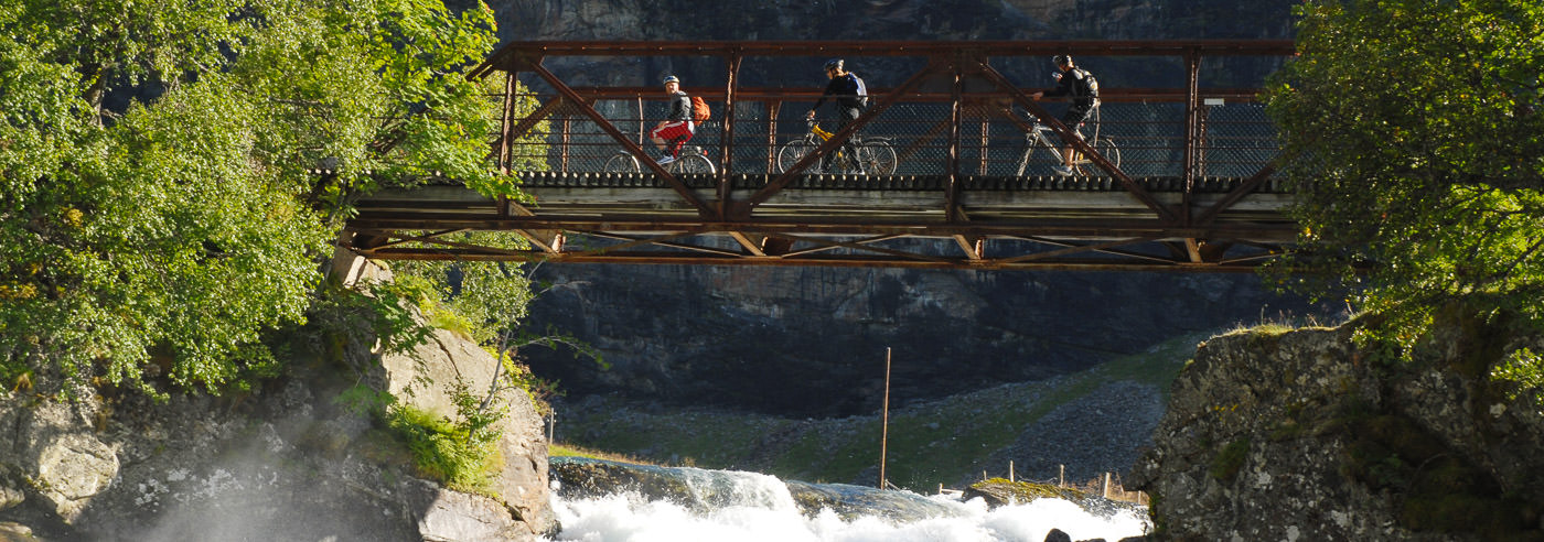
Rallarvegen, often referred to as Norway’s most beautiful cycling route, is a historic construction road that follows the Bergen Railway across the mountains between Haugastøl, Finse and Flåm. The road was built in the late 1800s to transport materials and workers – navvies – during the construction of the railway, and was reopened as a cycling route in 1974.
The cycling route is approximately 80 km long and runs from the high mountain terrain of Hardangervidda down to the fjord landscape of Flåmsdalen. Many start at Haugastøl or Finse and finish in Flåm, with dramatic contrasts in nature along the way – from open high mountains to steep valley sides and cultural landscapes.
Rallarvegen offers varied surfaces and challenging sections, with both easy stretches and areas with bumps, rough surfaces and steep bends. Families with children often choose the shorter and easier section between Haugastøl and Finse, while the rest of the route is best suited for cyclists in reasonable physical condition.
The cycling season is limited by snow conditions in the high mountains and normally runs from early July to the end of September. The long distances, exposed terrain and multiple route options make good maps essential for planning the cycling trip along Rallarvegen.
Cycling and hiking maps of Rallarvegen
Maps covering Rallarvegen, Hardangervidda, Finse and Flåmsdalen, suitable for planning cycling trips and travel along the historic route.
-
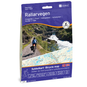
Rallarvegen Bicycle map
19,43 € Add to cart -
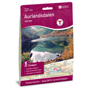
Aurlandsdalen DNT Turkart
19,43 € Add to cart -
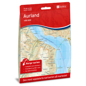
Aurland Norway Series Hiking Map
19,43 € Add to cart -
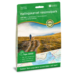
Hallingskarvet National Park Topo 3000 Hiking Map
19,43 € Add to cart -
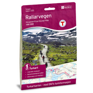
Rallarvegen DNT Turkart
19,43 € Add to cart -
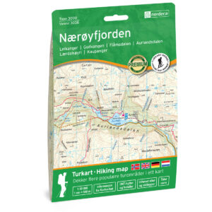
Nærøyfjorden Topo 3000 Turkart
19,43 € Add to cart -
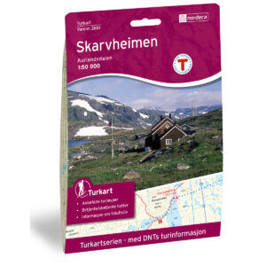
Skarvheimen DNT Hiking Map
19,43 € Add to cart -
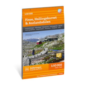
Turkart Finse, Hallingskarvet & Aurlandsdalen, 1:50.000
17,94 € Add to cart
Experience guides and road maps – Aurland and Flåm
Experience guides and road maps for planning travel and journeys in the area around Aurlandsdalen, including Aurland, Flåm, Nærøyfjorden and Lærdal.
-
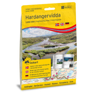
Hardangervidda 1:250,000 w/booklet Sightseeing Guide road
18,69 € Add to cart -

Hardangervidda 1:250 000 Discovery Guide
18,69 € Add to cart -
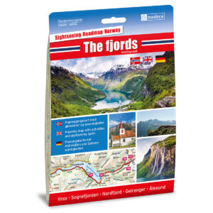
The Fjords / Vestlandet 1:250,000 Sightseeing Guide
18,69 € Add to cart -
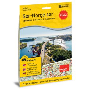
Road Map Southern Norway South
17,18 € Add to cart -
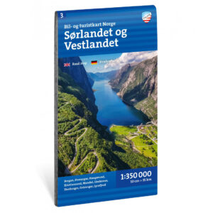
Car and tourist map Southern and Western Norway 1:350 000
16,89 € Add to cart -
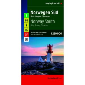
Southern Norway – roadmap (multilingual)
17,18 € Add to cart
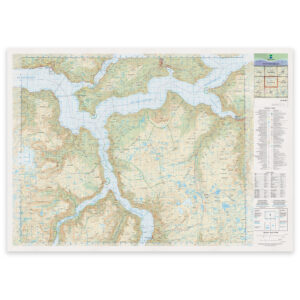
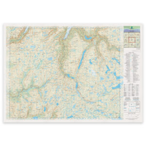
The Norwegian Mapping Authority’s N50 series – Aurlandsdalen
The Norwegian Mapping Authority’s N50 map series is Norway’s official land map, in a new version published in May 2025. The maps provide detailed and easy-to-read terrain information, and are delivered as print-on-demand on rolls in 103 × 73 cm format.