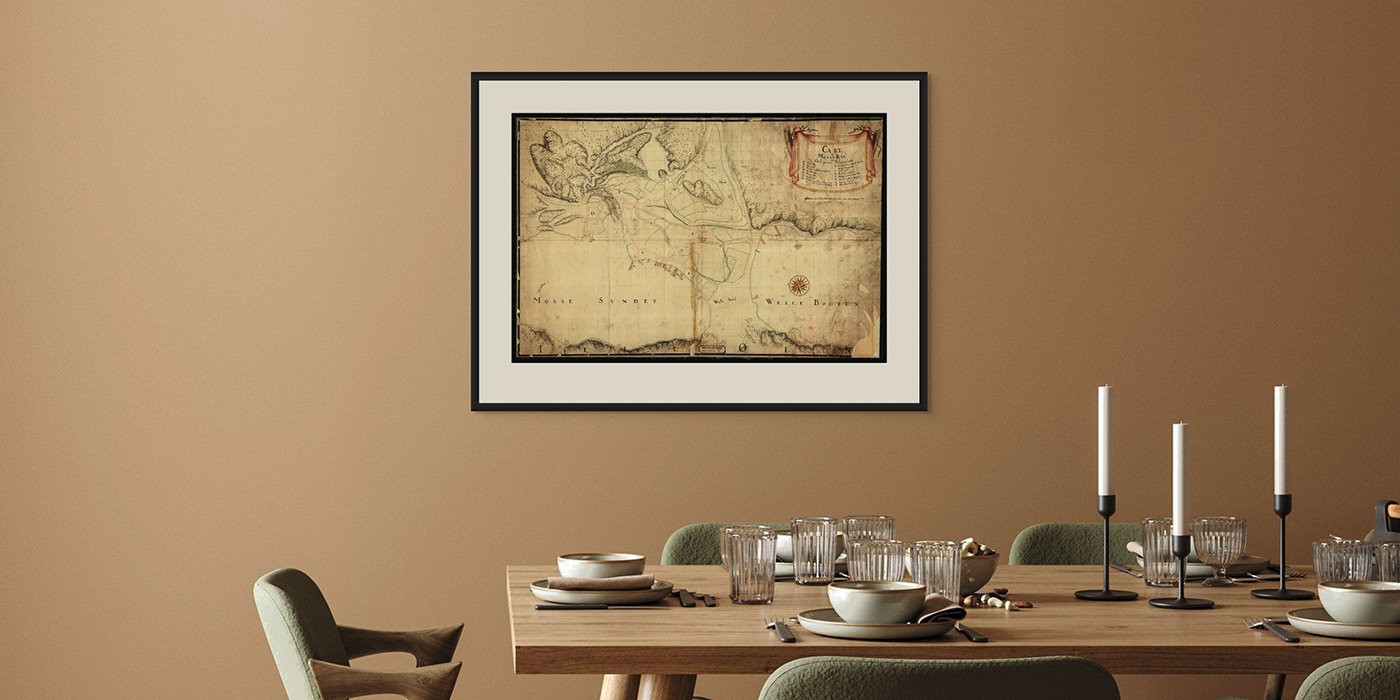
Historical maps from across Norway
We have collected some of Norway’s most beautiful and unique historical maps – highlights from centuries of Norwegian cartography. Many of these are hand-drawn originals, executed with a precision and wealth of detail that makes them true works of art.
Most of the maps are sourced from the Kartverket archives, in addition to originals on loan from private owners. These have been repro-photographed in collaboration with Fineartprint – one of Norway’s leading studios for art reproduction. The digitization is performed using digital medium-format cameras, specialized optics, and controlled lighting – the same type of equipment used by leading museums and conservators worldwide. The result is lifelike prints with high precision, closely matching the expression of the original.
We recommend choosing art paper when ordering maps – this provides a museum-quality print on 100% cotton rag, with exceptionally vivid and lifelike colors. All maps can also be ordered fully framed – ready for the wall. Our historical wall maps are equally suited for the home, the cabin, or as a focal point in the office.
Select a county and find maps from your favorite location:
-
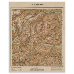
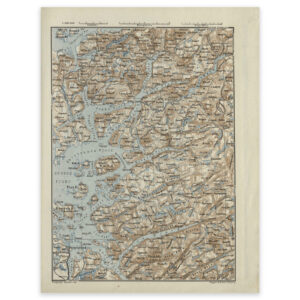
Jotunheimen 1917
-
Kristiania County 1870
-
Rondane 1927
-
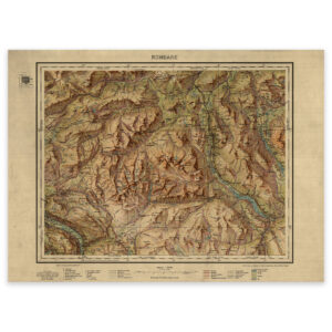
Ryfylke 1879
-
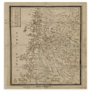
Helgeland bailiffs 1826
-
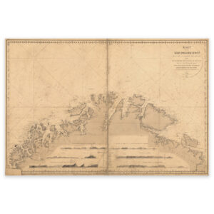
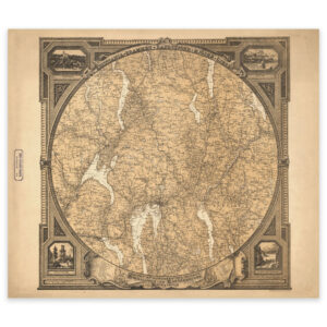
The coast from Tromsø to the Norwegian-Russian border 1848
-

Northern Norway 1795
-
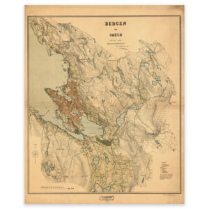
Bergen 1907
-
Valdres 1750
-
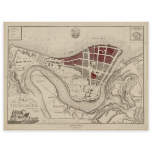
Trondheim 1844
-
Larviksfjorden 1811
-
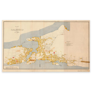
Ålesund 1898
-
Runde-Ålesund-Lepsøyrevet
-
Ørje 1754
-
Historical nautical chart of the stretch Jomruland and Kragerø to Kristiansand
-
Atnadalen 1876