Denmark’s Official Nautical Charts – Geodatastyrelsen Print on Demand (POD)
Denmark’s official nautical charts from Geodatastyrelsen are delivered as Print on Demand (POD) and printed upon order with the latest available updates.
The charts cover Danish waters – including the North Sea, Kattegat, Øresund, and the Baltic Sea – and are used for both recreational sailing and professional navigation.
Kart.no is an official supplier of POD nautical charts from Geodatastyrelsen in Denmark.
Find the correct chart before ordering
Unsure which chart number you need? Use Geodatastyrelsen’s chart overview to find the correct chart, then order here at Kart.no.
Kart.no is an official supplier of Print on Demand (POD) nautical charts from Geodatastyrelsen.
Open Geodatastyrelsen’s chart overview
Opens in a new tab (experience.arcgis.com)
Approach and Passage Charts
Detailed charts for safe navigation when approaching, passing through, and in busy waters – with clear information on leading lines, depths, and marks.
Coastal Charts
Coastal charts adapted for sailing along the Danish coast and between harbors – suitable for planning and safe navigation in coastal waters.
Overview Charts
Charts of larger sea areas for overall route planning – useful for longer legs and for creating a comprehensive overview.
Special and Great Circle Charts
Charts for specific navigation purposes, including great circle charts for long-distance planning and other special editions from Geodatastyrelsen.
-
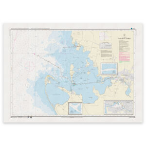
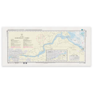
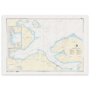
Denmark Chart 144 – Great Belt, Nakskov Fjord
32,24 € Add to cart -
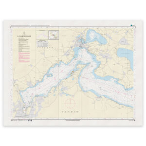
Denmark Chart 145 – Storebælt, Kalundborg Fjord (INT 1371)
32,24 € Add to cart -
Denmark Chart 151 – Lillebælt, northern part (INT 1375)
32,24 € Add to cart -
Denmark Chart 152 – Little Belt, southern part and waters south of Funen (INT 1373)
32,24 € Add to cart -
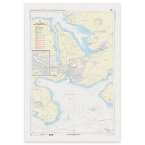
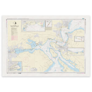
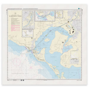
Denmark Chart 153 – Lillebælt, Haderslev Fjord
32,24 € Add to cart -
Denmark Chart 154 – Lillebælt, Flensborg Fjord
32,24 € Add to cart -
Denmark Chart 155 – Lillebælt, Als Sund and Sønderborg Bugt
32,24 € Add to cart -
Denmark Chart 157 – Lillebælt, Vejle Fjord
32,24 € Add to cart -
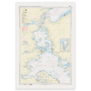
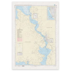
Denmark Chart 158 – Lillebælt, Snævringen and Kolding Fjord (INT 1376)
32,24 € Add to cart -
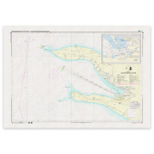
Denmark Chart 159 – Lillebælt, Aabenraa Fjord (INT 1374)
32,24 € Add to cart -
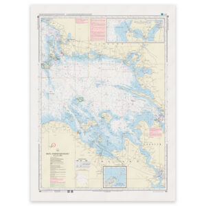
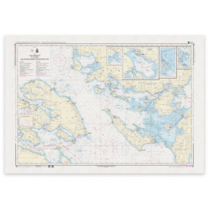
Denmark Chart 160 – Smålandsfarvandet, western part
32,24 € Add to cart -
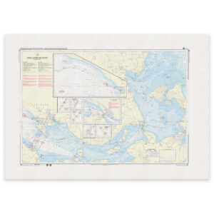
Denmark Chart 161 – Smålandsfarvandet, northeastern part
32,24 € Add to cart -
Denmark Chart 162 – Smålandsfarvandet, southeastern part
32,24 € Add to cart -
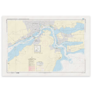
Denmark Chart 163 – Smålandsfarvandet, Guldborg Sund
32,24 € Add to cart -
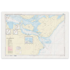
Denmark Chart 164 – Smålandsfarvandet, Karrebæk Fjord
32,24 € Add to cart -
Denmark Chart 171 – Svendborg Sound
32,24 € Add to cart -
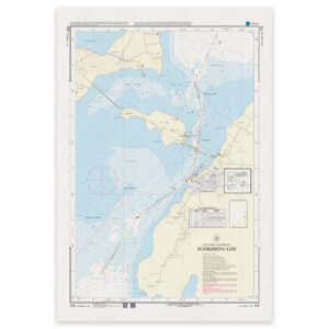
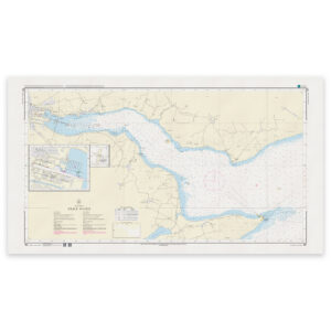
Denmark Chart 172 – Rudkøbing Løb
32,24 € Add to cart -
Denmark Chart 188 – Baltic Sea around Bornholm
32,24 € Add to cart