Denmark’s Official Nautical Charts – Geodatastyrelsen Print on Demand (POD)
Denmark’s official nautical charts from Geodatastyrelsen are delivered as Print on Demand (POD) and printed upon order with the latest available updates.
The charts cover Danish waters – including the North Sea, Kattegat, Øresund, and the Baltic Sea – and are used for both recreational sailing and professional navigation.
Kart.no is an official supplier of POD nautical charts from Geodatastyrelsen in Denmark.
Find the correct chart before ordering
Unsure which chart number you need? Use Geodatastyrelsen’s chart overview to find the correct chart, then order here at Kart.no.
Kart.no is an official supplier of Print on Demand (POD) nautical charts from Geodatastyrelsen.
Open Geodatastyrelsen’s chart overview
Opens in a new tab (experience.arcgis.com)
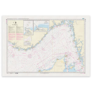
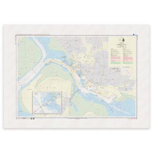
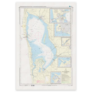
Approach and Passage Charts
Detailed charts for safe navigation when approaching, passing through, and in busy waters – with clear information on leading lines, depths, and marks.
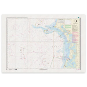
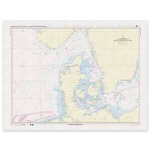
Coastal Charts
Coastal charts adapted for sailing along the Danish coast and between harbors – suitable for planning and safe navigation in coastal waters.
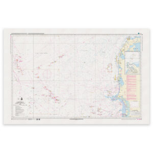
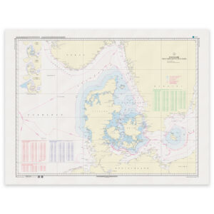
Overview Charts
Charts of larger sea areas for overall route planning – useful for longer legs and for creating a comprehensive overview.
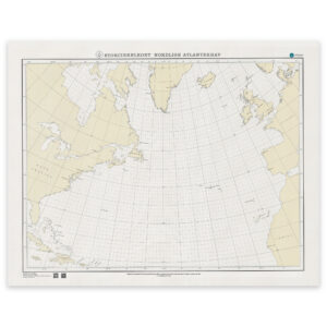
Special and Great Circle Charts
Charts for specific navigation purposes, including great circle charts for long-distance planning and other special editions from Geodatastyrelsen.
-
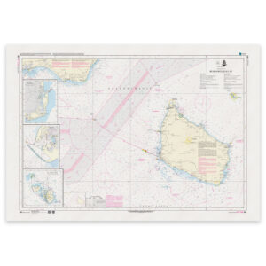
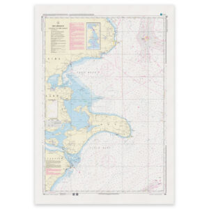
Denmark Chart 189 – Baltic Sea, Bornholmsgat (INT 1336)
32,24 € Add to cart -
Denmark Chart 190 – Baltic Sea, Faxe Bay and Præstø Fjord
32,24 € Add to cart -
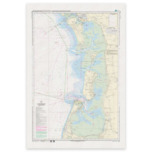
Denmark Chart 195 – Baltic Sea, western part
32,24 € Add to cart -
Denmark Chart 196 – Baltic Sea, Fehmarn Belt
32,24 € Add to cart -
Denmark Chart 197 – Baltic Sea, Gedser Rev and Kadetrenden
32,24 € Add to cart -
Denmark Chart 198 – Baltic Sea, Faxe Bay and Hjelm Bay
32,24 € Add to cart -
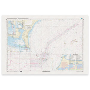
Denmark Chart 60 – North Sea, Fanø – Sylt
32,24 € Add to cart -
Denmark Chart 61 – North Sea, Blåvands Huk – Fanø
32,24 € Add to cart -
Denmark Chart 92 – Skagerrak (INT 1300)
32,24 € Add to cart -
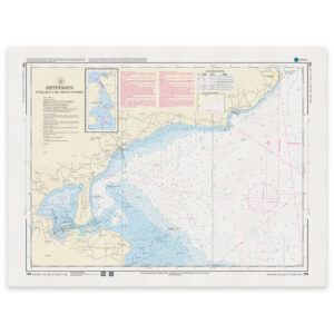
Denmark Chart 93 – Nordsøen, Esbjerg – Hanstholm (INT 1044)
32,24 € Add to cart -
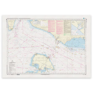
Denmark Chart 94 – North Sea, Horns Rev (INT 1411)
32,24 € Add to cart -
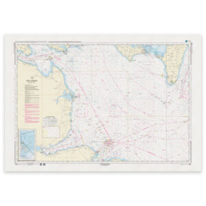
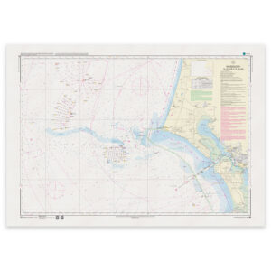
Denmark Chart 95 – Port of Esbjerg (INT 1451)
32,24 € Add to cart -
Denmark Chart 99 – North Sea, Ringkøbing Fjord
32,24 € Add to cart -
Denmark Chart C – Denmark with surrounding waters
32,24 € Add to cart -
Denmark Chart D – Denmark with surrounding waters
32,24 € Add to cart -
Denmark Chart SC-N – Great Circle Chart (Northern Sea Areas)
32,24 € Add to cart