Greenland’s Official Nautical Charts – Geodatastyrelsen Print on Demand (POD)
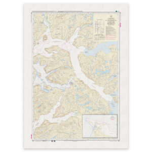
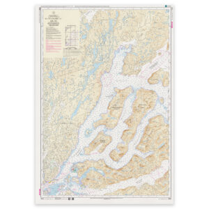
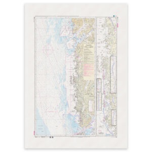
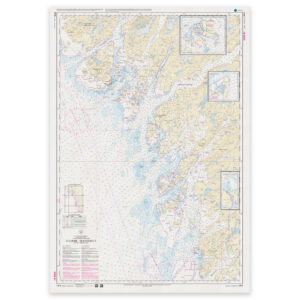
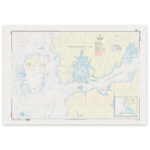
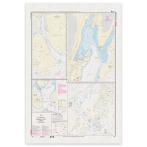
Greenland’s official nautical charts from Geodatastyrelsen are delivered as Print on Demand (POD) and are printed upon order with the latest available updates. The charts cover selected coastal areas and navigation waters around Greenland and are used for both route planning and navigation in Arctic waters.
Kart.no is an official supplier of POD nautical charts from Geodatastyrelsen in Denmark.
Find the correct chart before ordering
Unsure which chart number you need? Use Geodatastyrelsen’s chart overview to find the correct chart, then order here at Kart.no.
Kart.no is an official supplier of Print on Demand (POD) nautical charts from Geodatastyrelsen.
Open Geodatastyrelsen’s chart overview
Opens in a new tab (experience.arcgis.com)
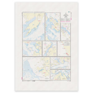
Approach and Passage Charts
Detailed charts for safe navigation when approaching, passing through, and in busy waters – with clear information on leading lines, depths, and marks.
Coastal Charts
Coastal charts adapted for sailing along the Danish coast and between harbors – suitable for planning and safe navigation in coastal waters.
Overview Charts
Charts of larger sea areas for overall route planning – useful for longer legs and for creating a comprehensive overview.
Special and Great Circle Charts
Charts for specific navigation purposes, including great circle charts for long-distance planning and other special editions from Geodatastyrelsen.
-
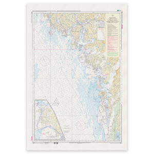
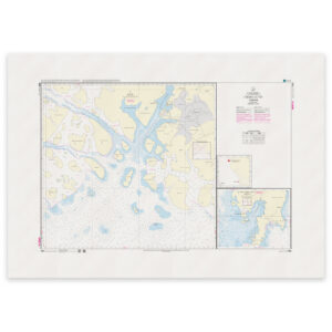
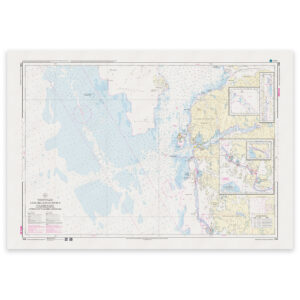
Greenland Chart – 1212 Sioqqap Sermia – Qeqertarsuatsiaat (Frederikshåb Isblink – Fiskenæsset) WGS-84
32,26 € Add to cart -
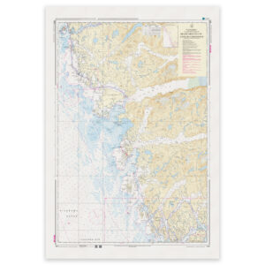
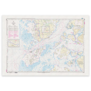
Greenland Chart – 1213 Qeqertarsuatsiaat – Kangerluarsoruseq (Fiskenæsset – Kangerluarsoruseq) WGS-84
32,26 € Add to cart -
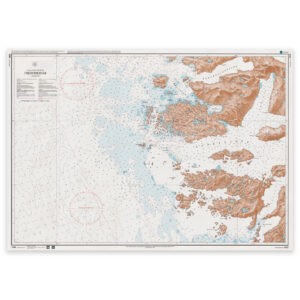
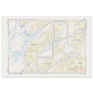
Greenland Chart – 1230 Frederikshåb Qornoq 1927
32,26 € Add to cart -
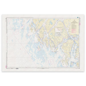
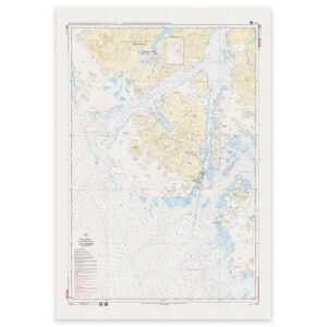
Greenland Chart – 1231 Qeqertarsuatsiaat (Fiskenæsset) WGS-84
32,26 € Add to cart -
Greenland Chart – 1250 WGS-84 Paamiut WGS-84
32,26 € Add to cart -
Greenland Chart – 1251 WGS-84 Sillisit WGS-84
32,26 € Add to cart -
Greenland Chart – 1300 Grædefjord – Hamborgerland Qornoq 1927
32,26 € Add to cart -
Greenland Chart – 1310 Kangerluarsoruseq – Nuuk (Kangerluarsoruseq – Godthåb) WGS-84
32,26 € Add to cart -
Greenland Chart – 1311 Nuup Kangerlua – Kangilleq (Godthåbsfjord, E-lige del – Nuup Kangerlua, Eastern Part) WGS-84
32,26 € Add to cart -
Greenland Chart – 1312 Nuup Kangerlua – Killeq WGS84
32,26 € Add to cart -
Greenland Chart – 1313 Nuuk – Atammik (Godthåb – Atammik) WGS-84
32,26 € Add to cart -
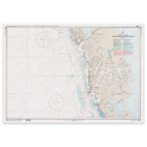
Greenland Chart – 1314 Atammik – Sermersuut (Atammik – Hamborgerland) WGS-84
32,26 € Add to cart -
Greenland Chart – 1330 Kangerluarsorutsimut Pulammagiaa WGS-84
32,26 € Add to cart -
Greenland Chart – 1331 Nuuk (Godthåb) WGS-84
32,26 € Add to cart -
Greenland Chart – 1333 Niaqunngunaq (Fiskefjord) WGS-84
32,26 € Add to cart -
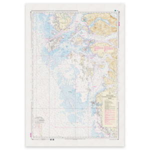
Greenland Chart – 1335 Maniitsoq (Sukkertoppen) WGS-84
32,26 € Add to cart -
Greenland Chart – 1350 Orsiivik (Polaroil) WGS-84
32,26 € Add to cart -
Greenland Chart – 1351 WGS-84 Nuuk (Godthåb)
32,26 € Add to cart