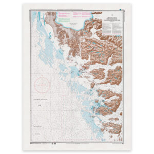
Greenland’s Official Nautical Charts – Geodatastyrelsen Print on Demand (POD)
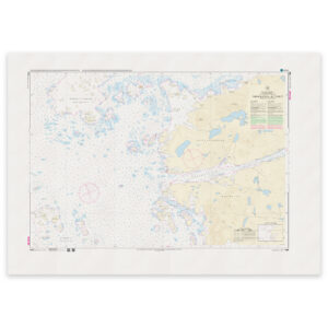
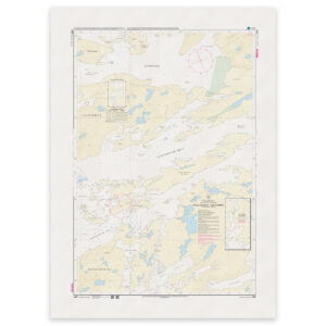
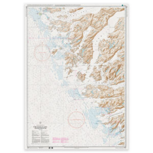
Greenland’s official nautical charts from Geodatastyrelsen are delivered as Print on Demand (POD) and are printed upon order with the latest available updates. The charts cover selected coastal areas and navigation waters around Greenland and are used for both route planning and navigation in Arctic waters.
Kart.no is an official supplier of POD nautical charts from Geodatastyrelsen in Denmark.
Find the correct chart before ordering
Unsure which chart number you need? Use Geodatastyrelsen’s chart overview to find the correct chart, then order here at Kart.no.
Kart.no is an official supplier of Print on Demand (POD) nautical charts from Geodatastyrelsen.
Open Geodatastyrelsen’s chart overview
Opens in a new tab (experience.arcgis.com)
Approach and Passage Charts
Detailed charts for safe navigation when approaching, passing through, and in busy waters – with clear information on leading lines, depths, and marks.
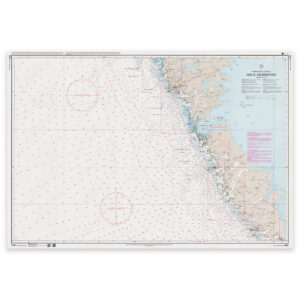
Coastal Charts
Coastal charts adapted for sailing along the Danish coast and between harbors – suitable for planning and safe navigation in coastal waters.
Overview Charts
Charts of larger sea areas for overall route planning – useful for longer legs and for creating a comprehensive overview.
Special and Great Circle Charts
Charts for specific navigation purposes, including great circle charts for long-distance planning and other special editions from Geodatastyrelsen.
-
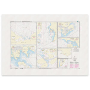
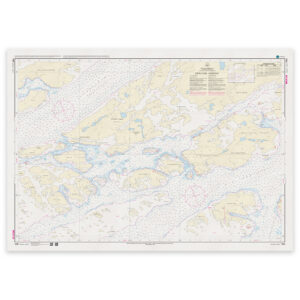
Greenland Chart – 1137 Simiutaq – Inussuttuut WGS-84
32,83 € Add to cart -
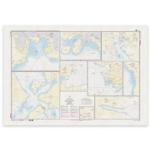
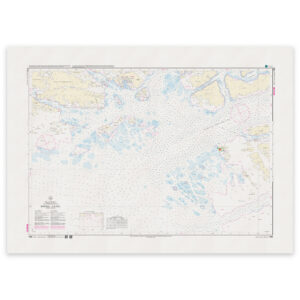
Greenland Chart – 1138 Qaqqaligaatsiaq Fjord – Killavaat Nuugaatsiaat (Qaqqaligaatsiaq Fjord – Cape Desolation) WGS-84
32,83 € Add to cart -
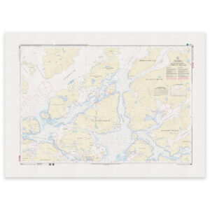
Greenland Chart – 1139 Killavaat Nuugaatsiaat – Qeqertarsuaq (Kap Desolation – Storeø) WGS-84
32,83 € Add to cart -
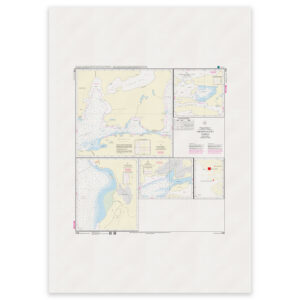
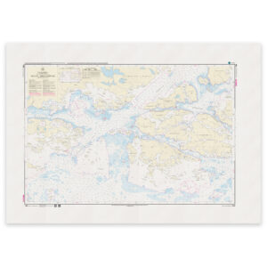
Greenland Chart – 1146 Arsuk Fjord Qornoq 1927
32,83 € Add to cart -
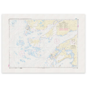
Greenland Chart – 1150 WGS-84 Ikerasassuaq
32,83 € Add to cart -
Greenland Chart – 1151 WGS-84 Qaqortoq (Julianehåb)
32,83 € Add to cart -
Greenland Chart – 1152 Harbour plans Qornoq 1927 Arsuk
32,83 € Add to cart -
Greenland Chart – 1160 Qaarsup Ikerasaa – Paggivik WGS-84
32,83 € Add to cart -
Greenland Chart – 1161 Simiutaq – Qarmat WGS-84
32,83 € Add to cart -
Greenland Chart – 1162 Qarmat – Naajat (Qarmat – Gull Run) WGS-84
32,83 € Add to cart -
Greenland Chart – 1163 Kuannit Saavat – Qoornoq – Akulleq WGS-84
32,83 € Add to cart -
Greenland Chart – 1164 Naajat – Ikerasassuaq (Gull Run – Ikerasassuaq) WGS-84
32,83 € Add to cart -

Greenland Chart – 1165 Ikerasassuaq Niviukkat Umiarsuliviat – Torsukattaap Ninninnera (Aurora Harbor – Broken) WGS-84
32,83 € Add to cart -
Greenland Chart – 1166 Torsukattak – Kitsissut (Torsukattak – Ydre Kitsissut) WGS-84
32,83 € Add to cart -
Greenland Chart – 1167 Itilliatsiaq – Qipisaqqu (Nyboes Kanal – Qipisaqqu) WGS-84
32,83 € Add to cart -
Greenland Chart – 1200 Arsuk – Grædefjord Qornoq 1927
32,83 € Add to cart -
Greenland Chart – 1210 Tôrnârssuk Løb – Frederikshåb Qornoq 1927
32,83 € Add to cart -
Greenland Chart – 1211 Frederikshåb – Frederikshåb Isblink Qornoq 1927
32,83 € Add to cart