Greenland’s Official Nautical Charts – Geodatastyrelsen Print on Demand (POD)
Greenland’s official nautical charts from Geodatastyrelsen are delivered as Print on Demand (POD) and are printed upon order with the latest available updates. The charts cover selected coastal areas and navigation waters around Greenland and are used for both route planning and navigation in Arctic waters.
Kart.no is an official supplier of POD nautical charts from Geodatastyrelsen in Denmark.
Find the correct chart before ordering
Unsure which chart number you need? Use Geodatastyrelsen’s chart overview to find the correct chart, then order here at Kart.no.
Kart.no is an official supplier of Print on Demand (POD) nautical charts from Geodatastyrelsen.
Open Geodatastyrelsen’s chart overview
Opens in a new tab (experience.arcgis.com)
Approach and Passage Charts
Detailed charts for safe navigation when approaching, passing through, and in busy waters – with clear information on leading lines, depths, and marks.
Coastal Charts
Coastal charts adapted for sailing along the Danish coast and between harbors – suitable for planning and safe navigation in coastal waters.
Overview Charts
Charts of larger sea areas for overall route planning – useful for longer legs and for creating a comprehensive overview.
Special and Great Circle Charts
Charts for specific navigation purposes, including great circle charts for long-distance planning and other special editions from Geodatastyrelsen.
-
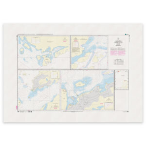
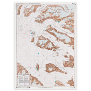
Greenland Chart – 1550 WGS-84 Killit
32,11 € Add to cart -
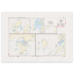
Greenland Chart – 1551 WGS-84 Oqaatsut
32,11 € Add to cart -
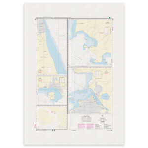
Greenland Chart – 1552 WGS-84 Qullisat
32,11 € Add to cart -
Greenland Chart – 1600 Hareø – Prøven Qornoq 1927
32,11 € Add to cart -
Greenland Chart – 1610 Umanak – Mârmorilik Qornoq 1927
32,11 € Add to cart -
Greenland Chart – 1700 Prøven – Holms Ø Qornoq 1927
32,11 € Add to cart -
Greenland Chart – 1710 Prøven – Upernavik Qornoq 1927
32,11 € Add to cart -
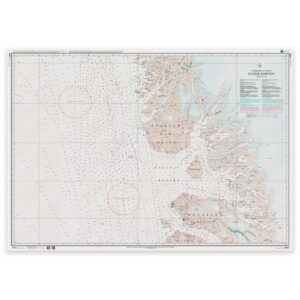
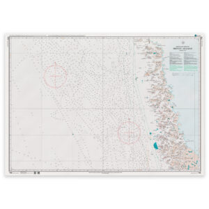
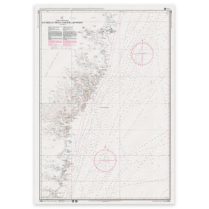
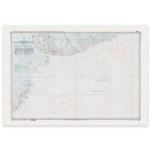
Greenland Chart – 2000 East Coast of Greenland
32,11 € Add to cart -
Greenland Chart – 2000 East Coast of Greenland
32,11 € Add to cart -
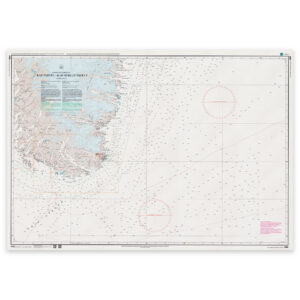
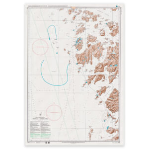
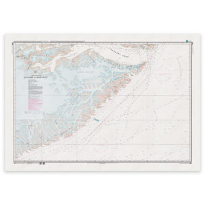
Greenland Chart – 2100 Cape Farewell – Cape Herluf Trolle
32,11 € Add to cart -
Greenland Chart – 2200 Cape Herluf Trolle – Cape Poul Løvenørn
32,11 € Add to cart -
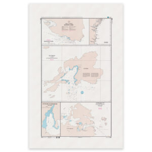
Greenland Chart – 2250 Harbor Master Plan Qutdleq
32,11 € Add to cart -
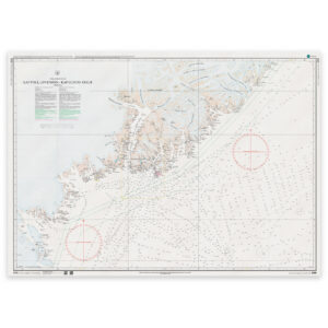
Greenland Chart – 2300 Kap Poul Løvenørn – Kap Gustav Holm
32,11 € Add to cart -
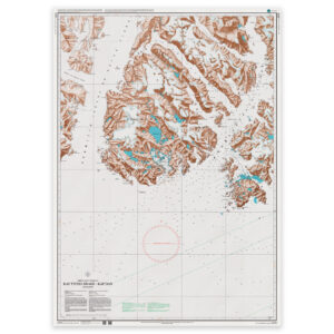
Greenland Chart – 2310 Kap Tycho Brahe – Kap Dan
32,11 € Add to cart -

Greenland Chart – 2350 Orssuiagtivaq (Feldspar Ø)
32,11 € Add to cart -
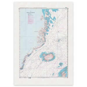
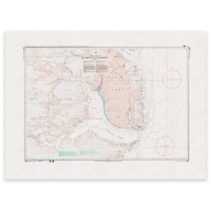
Greenland Chart – 2400 Kap Gustav Holm – Kap Vedel Qornoq 1927
32,11 € Add to cart -
Greenland Chart – 2500 Kap Garde – Scoresbysund
32,11 € Add to cart -
Greenland Chart – 2600 Kap Brewster – Kap Simpson
32,11 € Add to cart