


Sweden’s official nautical charts – Sjöfartsverket
Here you will find official nautical charts for Sweden published and printed by the Swedish Maritime Administration. The charts are produced by the Swedish Maritime Administration itself and follow current nautical standards for safe navigation in Swedish waters.
Kart.no is an official distributor for the Swedish Maritime Administration and stocks the entire range of Swedish nautical charts. We always deliver the latest updated version of the charts, so you can navigate with a reliable and up-to-date map base.
Find the right Swedish nautical chart before you order
Not sure which chart number you need? Use the Swedish Maritime Administration’s map overview to find the right nautical chart, and then order here on Kart.no.
Open the Swedish Maritime Administration’s map catalog
Opens in a separate tab (PDF)
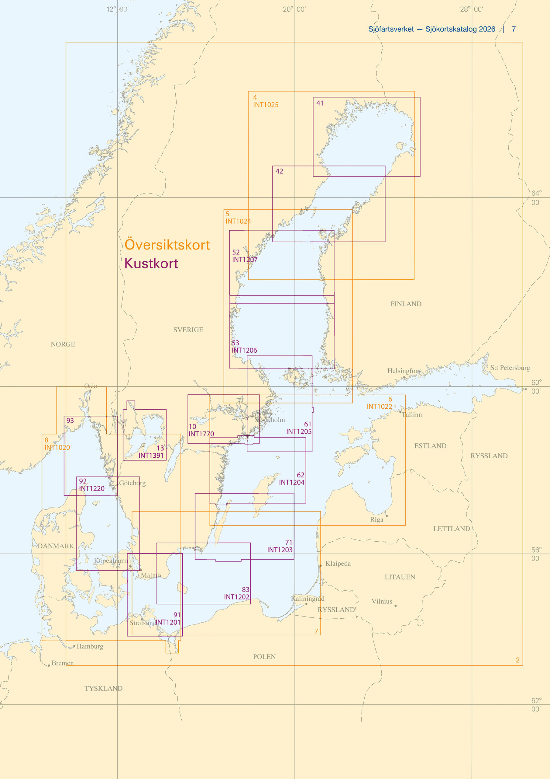
Overview map
Small scale maps for open sea and general planning. Common scale is 1:500 000.
See an overview of all overview cards →
Coastal map
Used for mooring and navigation in coastal waters. The usual scale is 1:250,000.
See an overview of all coastal cards →
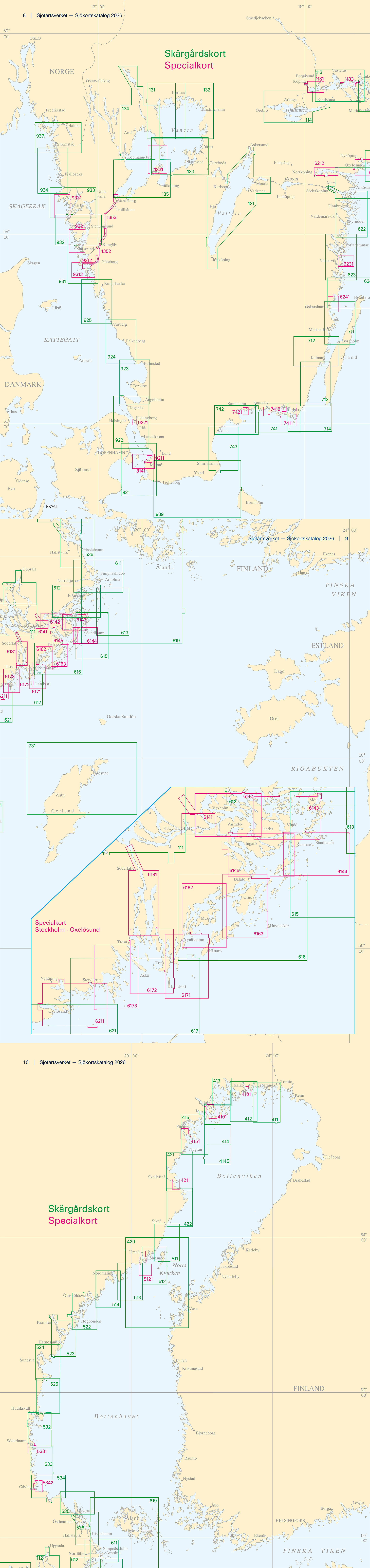
Archipelago map
Detailed maps for navigation in archipelagos and coastal areas. Common scale is 1:50 000.
See an overview of all archipelago cards →
Special cards
For congested and demanding areas, ports and narrow passages. Common scale is 1:25 000.
See an overview of all special cards →