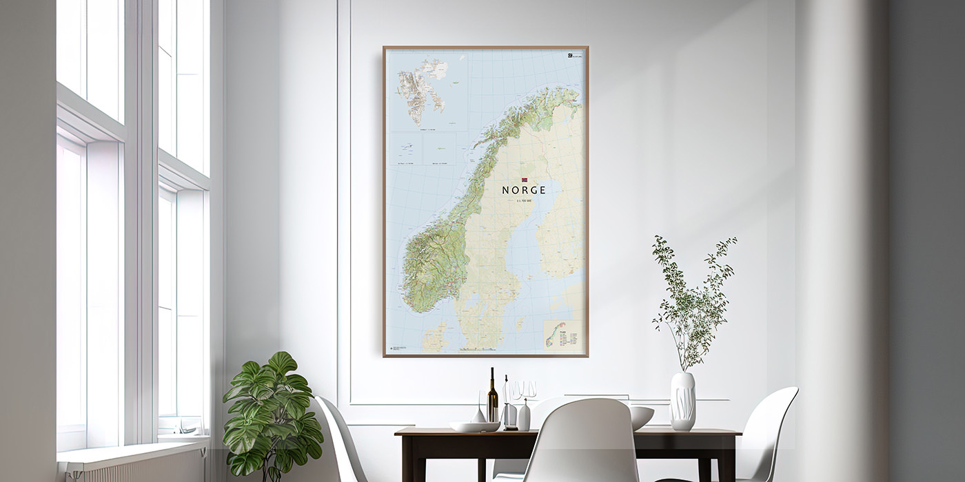
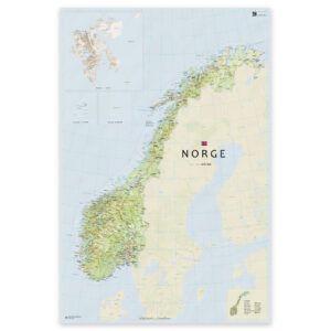
Map of Norway – Wall Map of All of Norway
We are proud to present a unique collection of Norwegian maps. For the first time, a comprehensive series of modern wall maps of Norway is being published – designed with both form and function in mind.
All maps come in five sizes with different scales, making it easy to find a format that suits both small and large walls.
The maps can be used as a beautiful statement piece in glass and frame at home in the living room, as a practical overview map at the cabin, or as a magnetic whiteboard in the office – perfect for planning, explaining, and exploring.
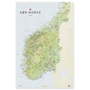
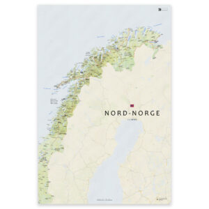
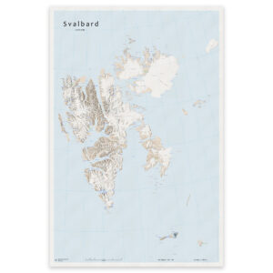
Maps of Norwegian Counties
We have created dedicated wall maps for all Norwegian counties – with clear topography, road networks, and settlements, presented in a modern and clean design. The maps are printed on-demand and updated regularly – ensuring you always receive the latest version with correct municipal and county boundaries.
The maps can be delivered framed, mounted on board, as posters, or on water- and tear-resistant Tyvek.
The county maps are perfect:
– As gifts with local connection
– For offices, municipal buildings, or meeting rooms
– As décor at the cabin or at home in the living room
-
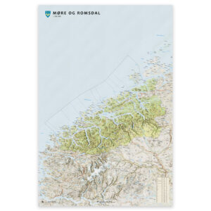
Wall map – Møre og Romsdal county
From 0,00 €
-
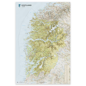
Wall map – Vestland county
From 0,00 €
-
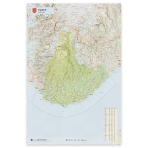
Wall map – Agder county
From 0,00 €
-
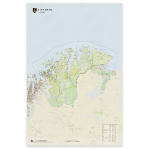
Wall map – Finnmark county
From 0,00 €
-
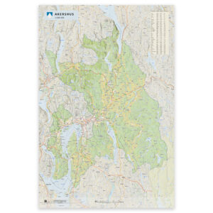
Wall map – Akershus county
From 0,00 €
-
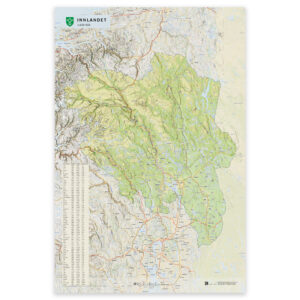
Wall map – Innlandet county
From 0,00 €
-
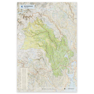
Wall map – Buskerud county
From 0,00 €
-
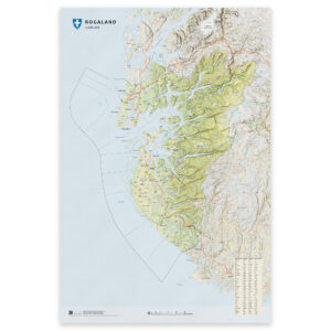
Wall map – Rogaland county
From 0,00 €
-
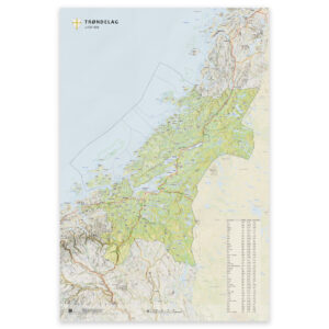
Wall map – Trøndelag county
From 0,00 €
-
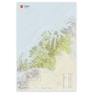
Wall map – Troms county
From 0,00 €
-
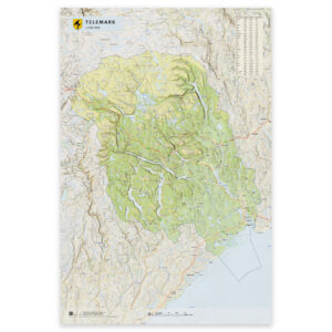
Wall map – Telemark county
From 0,00 €
-
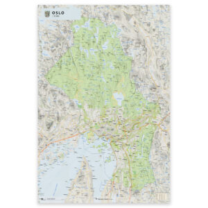
Wall map – Oslo county
From 0,00 €
-
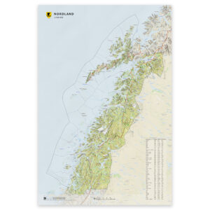
Wall map – Nordland county
From 0,00 €
-
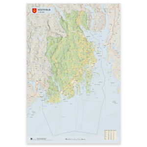
Wall map – Vestfold county
From 0,00 €