-
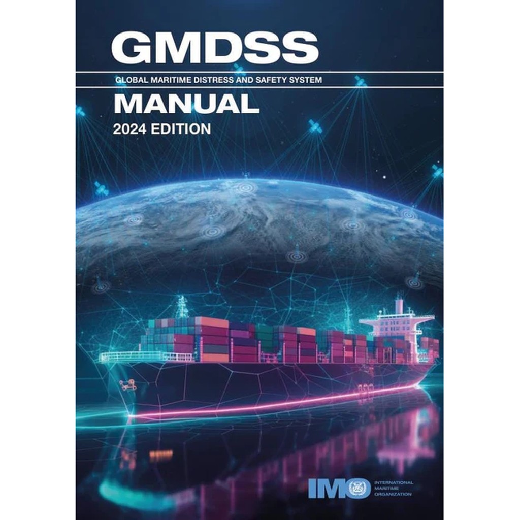
GMDSS Manual (2024 Edition) – IMO IJ970E
Official IMO manual describing regulations and operational use of the Global Maritime Distress and Safety System (GMDSS) for maritime distress and safety communication.
-
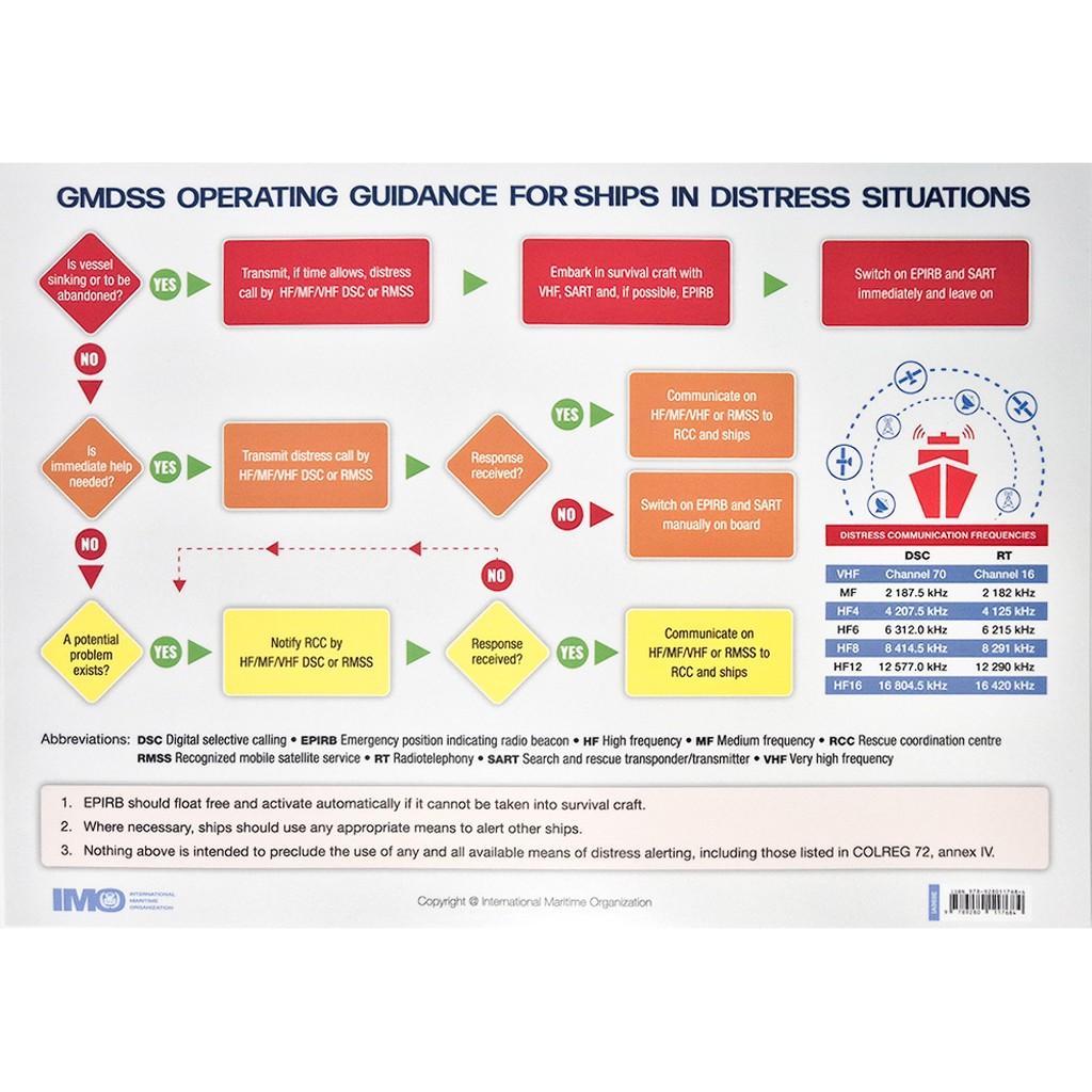
GMDSS Operating Guidance Card, 2024 – IMO IA969E
Practical reference card for the operational use of GMDSS procedures, including distress messages and safety communication at sea.
-
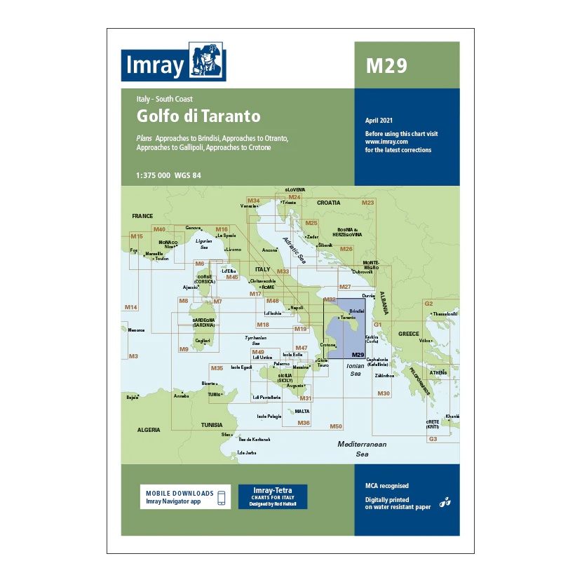
Golfo di Taranto – Imray M29
Overview map covering Golfo di Taranto and the southeast coast of Italy. Suitable for route planning and overall navigation in the central Mediterranean.
-
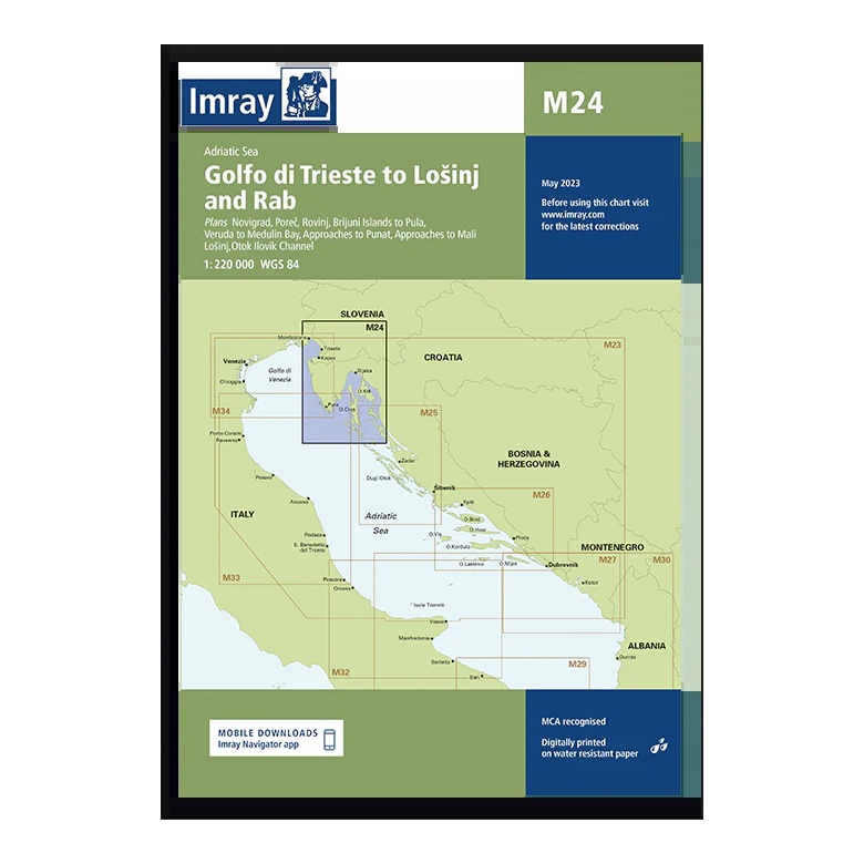
Golfo di Trieste to Lošinj and Rab – Imray M24
Overview map covering the northern Adriatic Sea from Golfo di Trieste to Lošinj and Rab. Suitable for route planning and general navigation along the coast of Italy, Slovenia and Croatia.
-
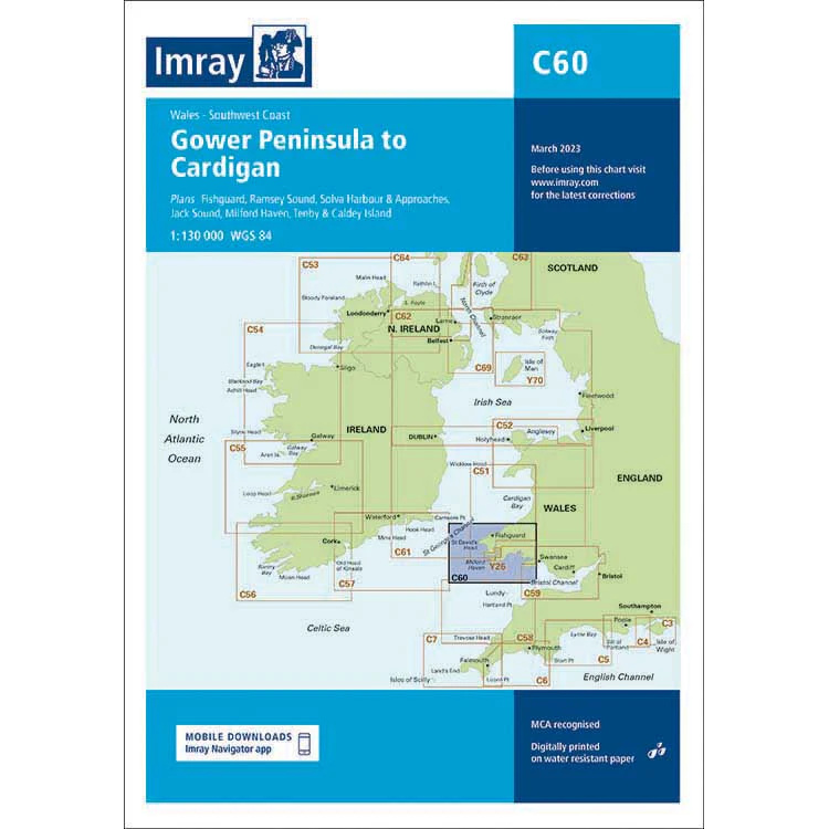
Gower Peninsula to Cardigan – Imray C60
Overview map from Imray covering the Gower Peninsula to Cardigan, developed for sailing along the west coast of Wales.
-
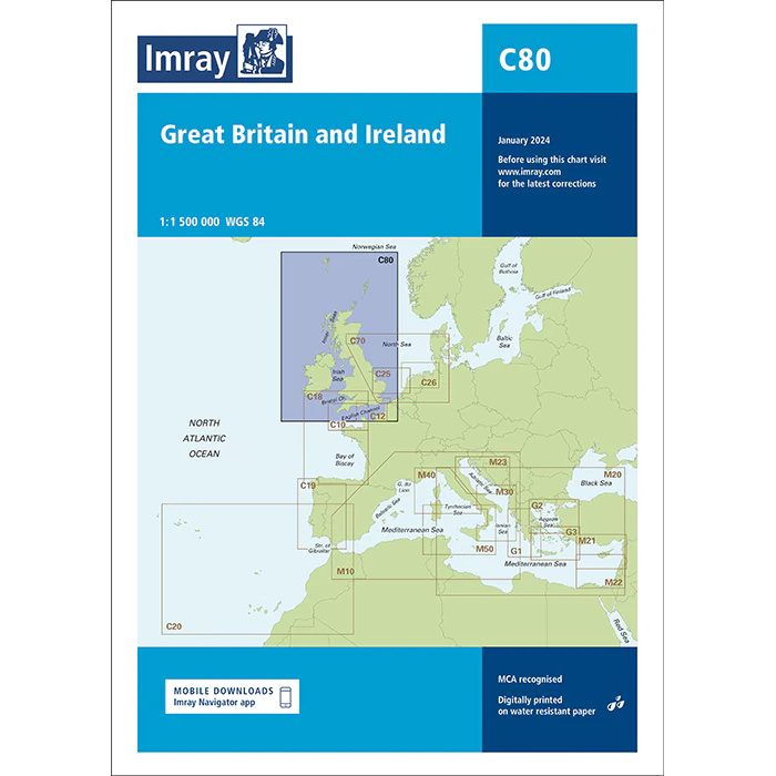
Great Britain and Ireland – Imray C80
Overview charts from Imray covering the UK and Ireland, designed for route planning and sailing in the North Atlantic.
-
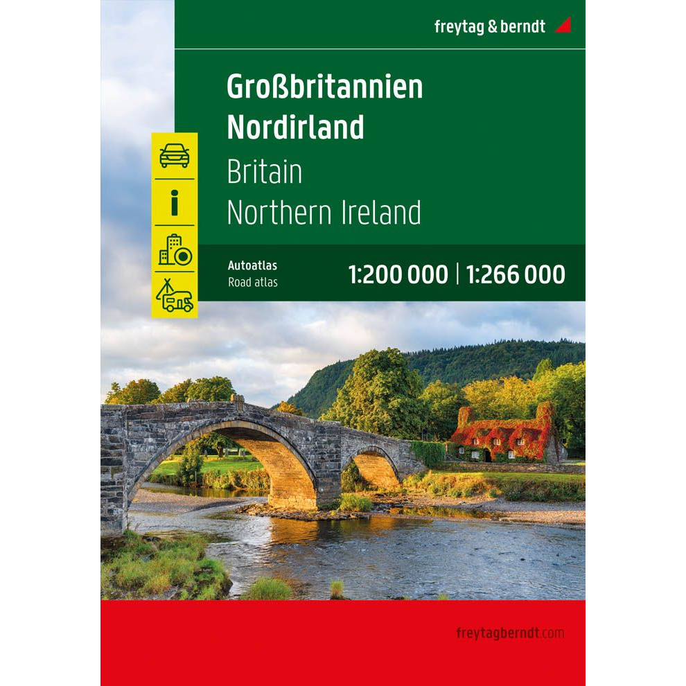
Great Britain and Northern Ireland – large image atlas (multilingual)
Large and detailed car atlas of Great Britain and Northern Ireland with road maps, city maps and campsites. Suitable for planning and road travel.
-

Greek Waters Pilot
Comprehensive pilot book for sailing in Greece, with detailed descriptions of ports, anchorages and sailing conditions along the entire Greek coast and archipelago.
-
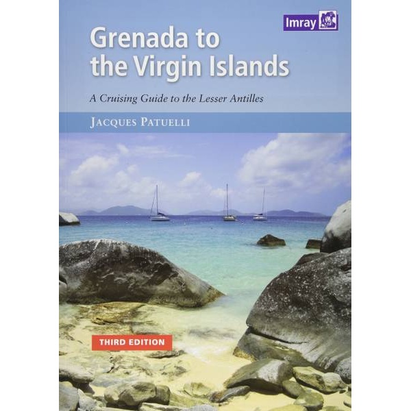
Grenada to the Virgin Islands
Comprehensive sailing guide for the Lesser Antilles from Grenada to the Virgin Islands, with detailed port descriptions, anchorages and navigation advice.
-
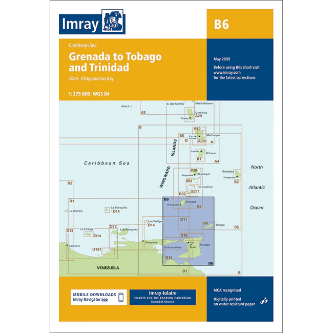
Grenada to Tobago and Trinidad – Imray B6
Overview map from Imray covering the sailing area between Grenada, Tobago and Trinidad in the Caribbean.
-
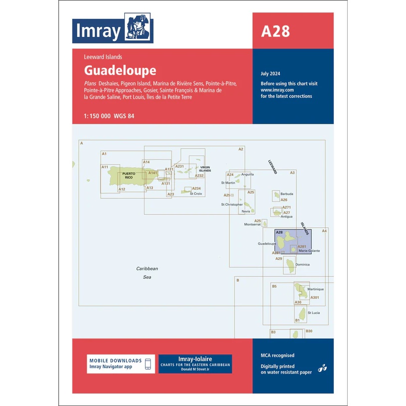
Guadeloupe – Imray A28
Detailed boating map from Imray for sailing and navigation around Guadeloupe.
-
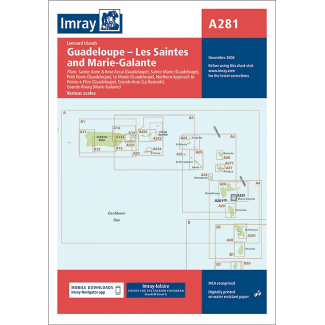
Guadeloupe – Les Saintes and Marie-Galante – Imray A281
Detailed boating map from Imray for anchorages and coastal navigation around Guadeloupe, Les Saintes and Marie-Galante.
-
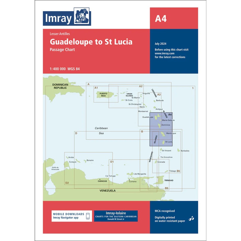
Guadeloupe to St Lucia – Imray A4
Overview and passage charts from Imray for sailing between Guadeloupe and St. Lucia in the Caribbean.
-
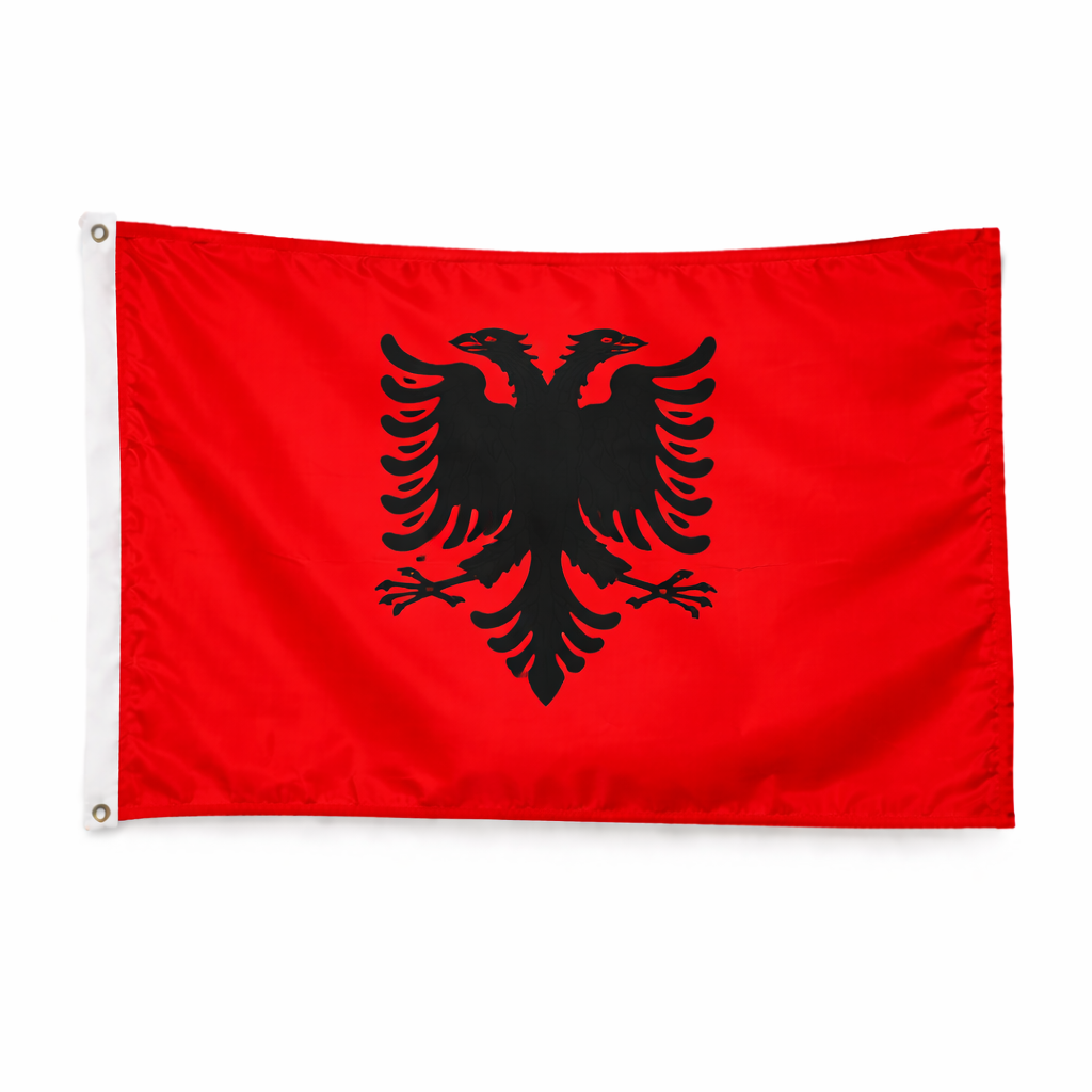
Guest flag Albania – 30 × 19 cm
Albanian guest flag in polyester for sailing and motor boats. Standard size for correct flag use when calling in Albania.
-
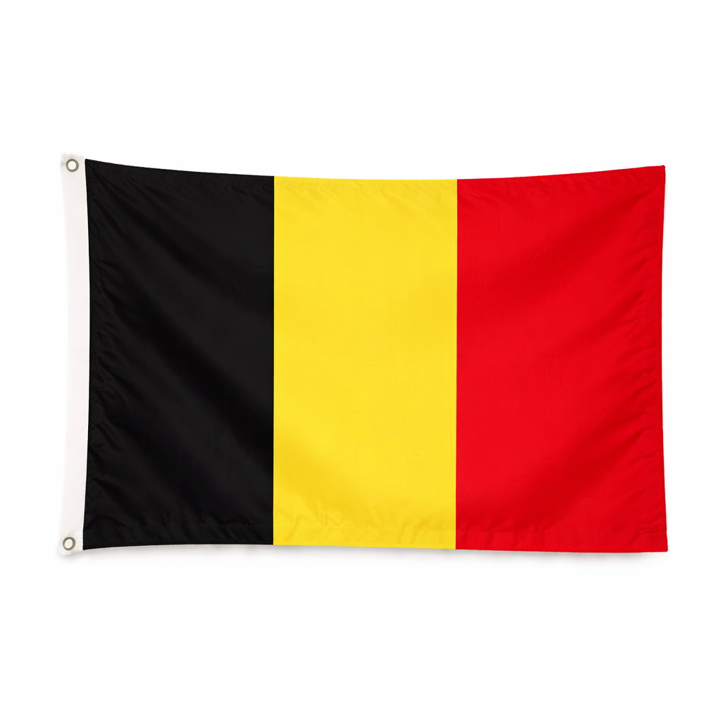
Guest flag Belgium – 30 × 19 cm
Belgian guest flag in polyester for sailing and motor boats. Standard size for correct flag use when calling at Belgian ports.
-
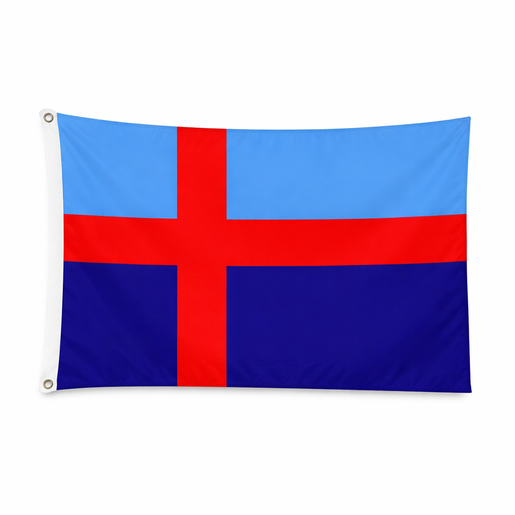
Guest flag Bohuslän – 30 × 19 cm
Guest flag for Bohuslän in polyester for sailboats and motorboats. Standard size for correct flag use when calling at the coast.
-
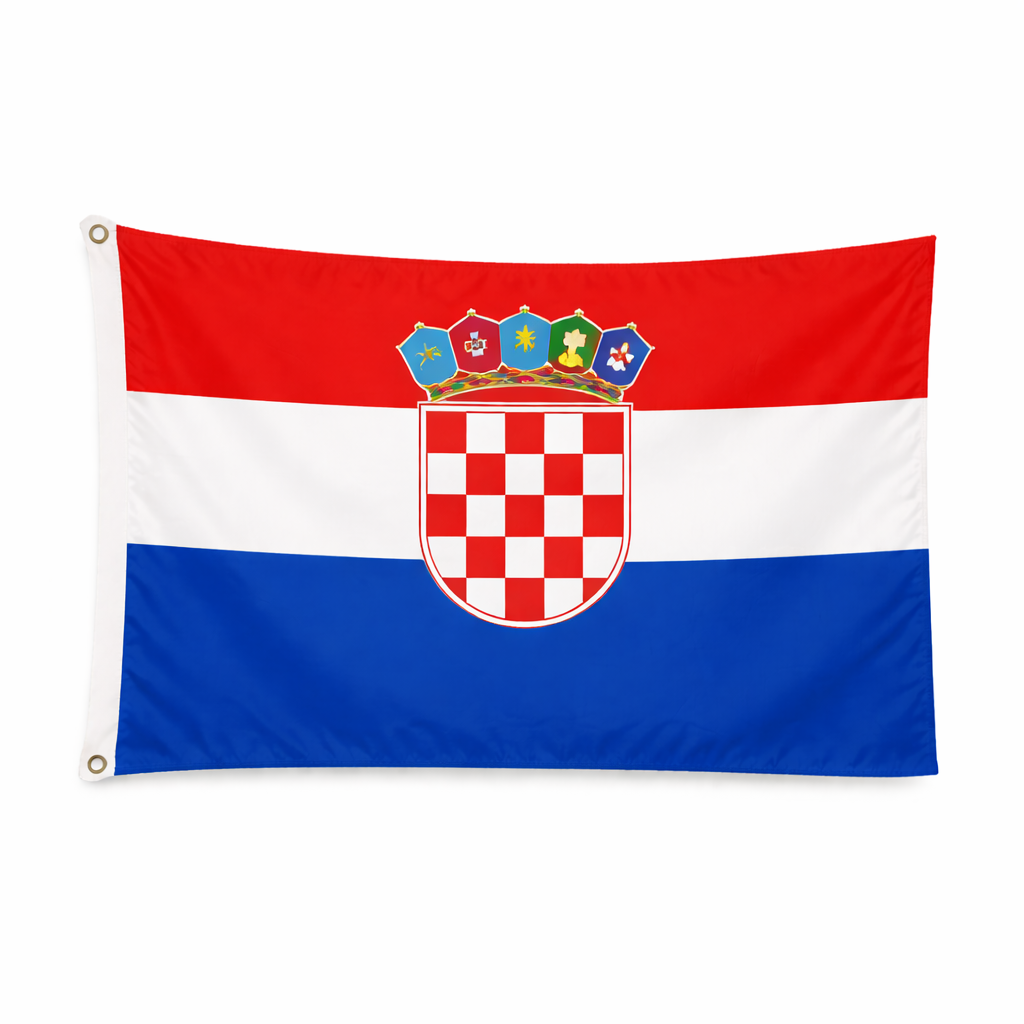
Guest flag Croatia – 30 × 19 cm
Croatian guest flag in polyester for sailing and motor boats. Standard size for correct flag use when docking in Croatia.
-
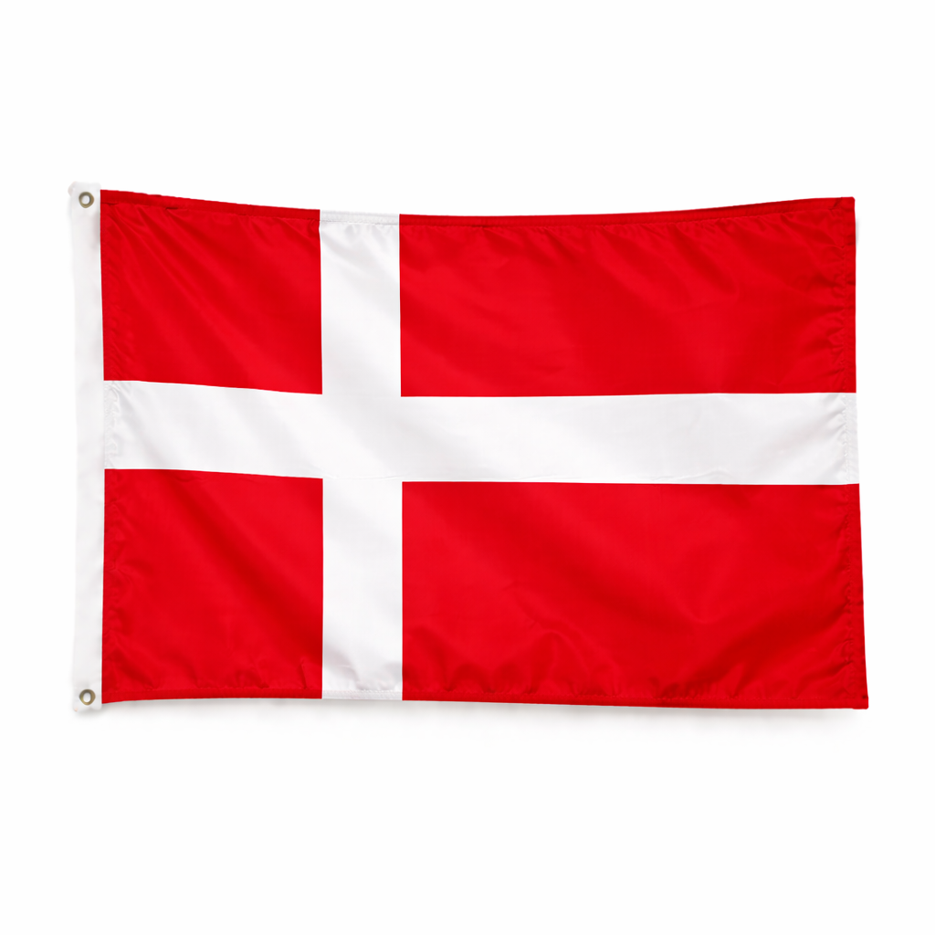
Guest flag Denmark – 30 × 19 cm
Danish guest flag in polyester for sailboats and motorboats. Standard size for correct flag use when calling at Danish ports.
-
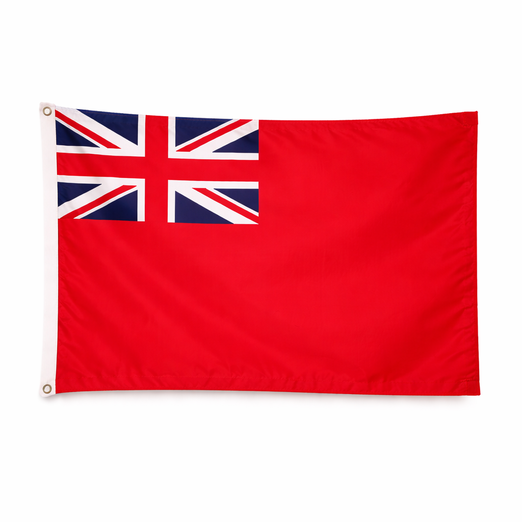
Guest flag England – 30 × 19 cm
English guest flag in polyester for sailing and motor boats. Standard size for correct flag use when calling at English ports.
-
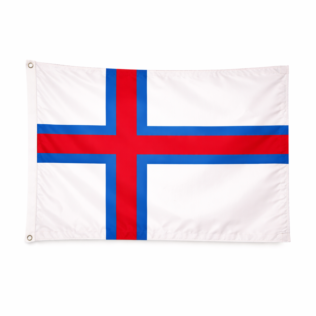
Guest flag Faroe Islands – 30 × 19 cm
Faroese guest flag in polyester for sailing and motor boats. Standard size for correct flag use when calling at the Faroe Islands.