-

Gaustatoppen Topo 3000 Hiking Map
Detailed topographic hiking map of Gaustatoppen Topo 3000 Hiking Map, from Nordic Maps (formerly Nordeca). Topo 3000 is a popular map series for mountain hiking and longer trips in varied terrain.
-
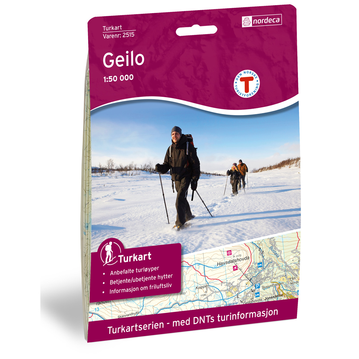
Geilo DNT Hiking Map
Detailed hiking map of Geilo, developed by Nordic Maps (formerly Nordeca) in collaboration with the Norwegian Trekking Association. DNT Hiking Maps have been the preferred choice for hikers for decades, known for their excellent readability, thoughtful design, and practical information tailored for active outdoor life.
-
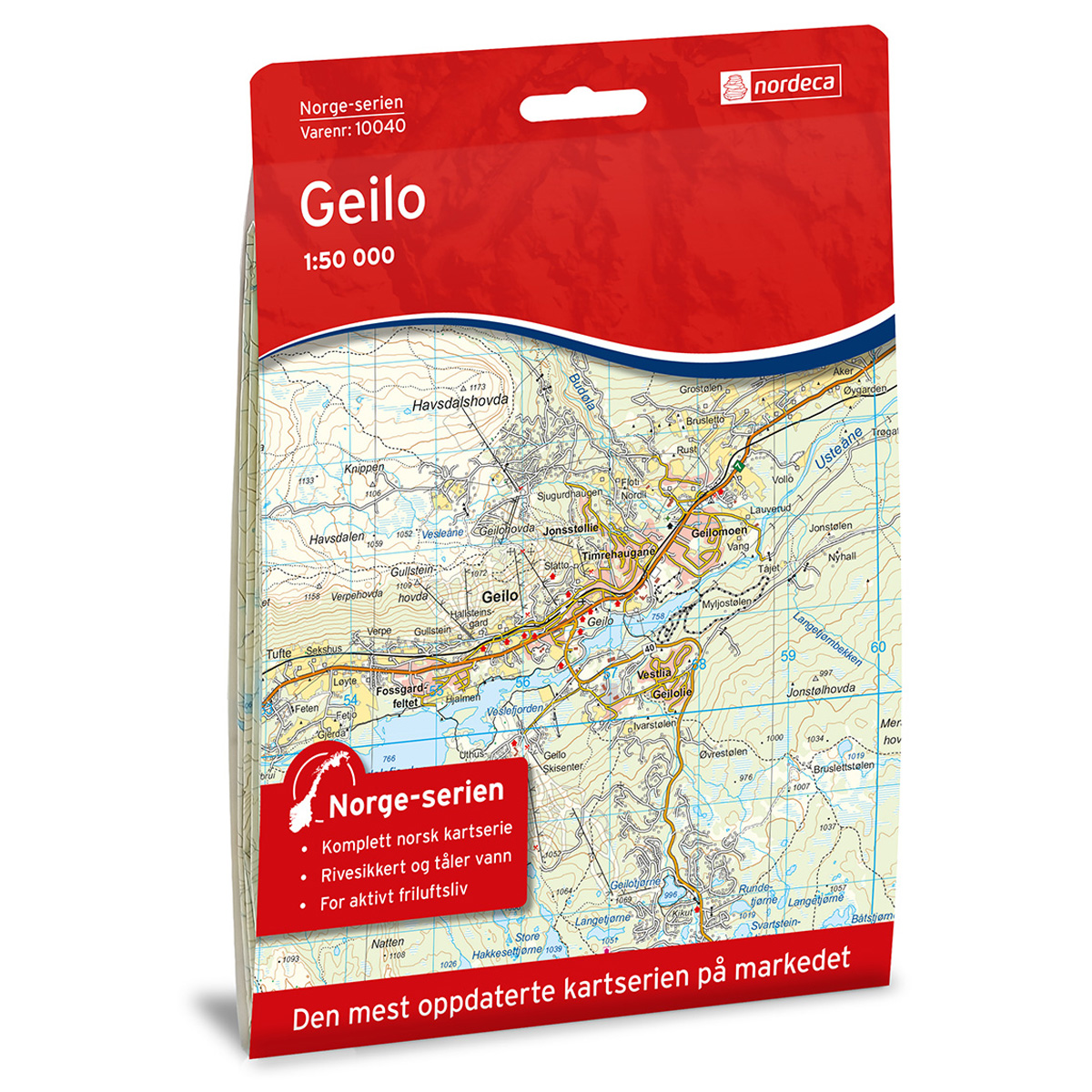
Geilo Norway Series Hiking Map
Detailed hiking map of Geilo in the Norway Series – the classic red hiking maps that have been a faithful companion in Norwegian backpacks for generations. The maps are systematically divided with overlaps between adjacent sheets, ensuring seamless continuity as you move through the terrain.
-
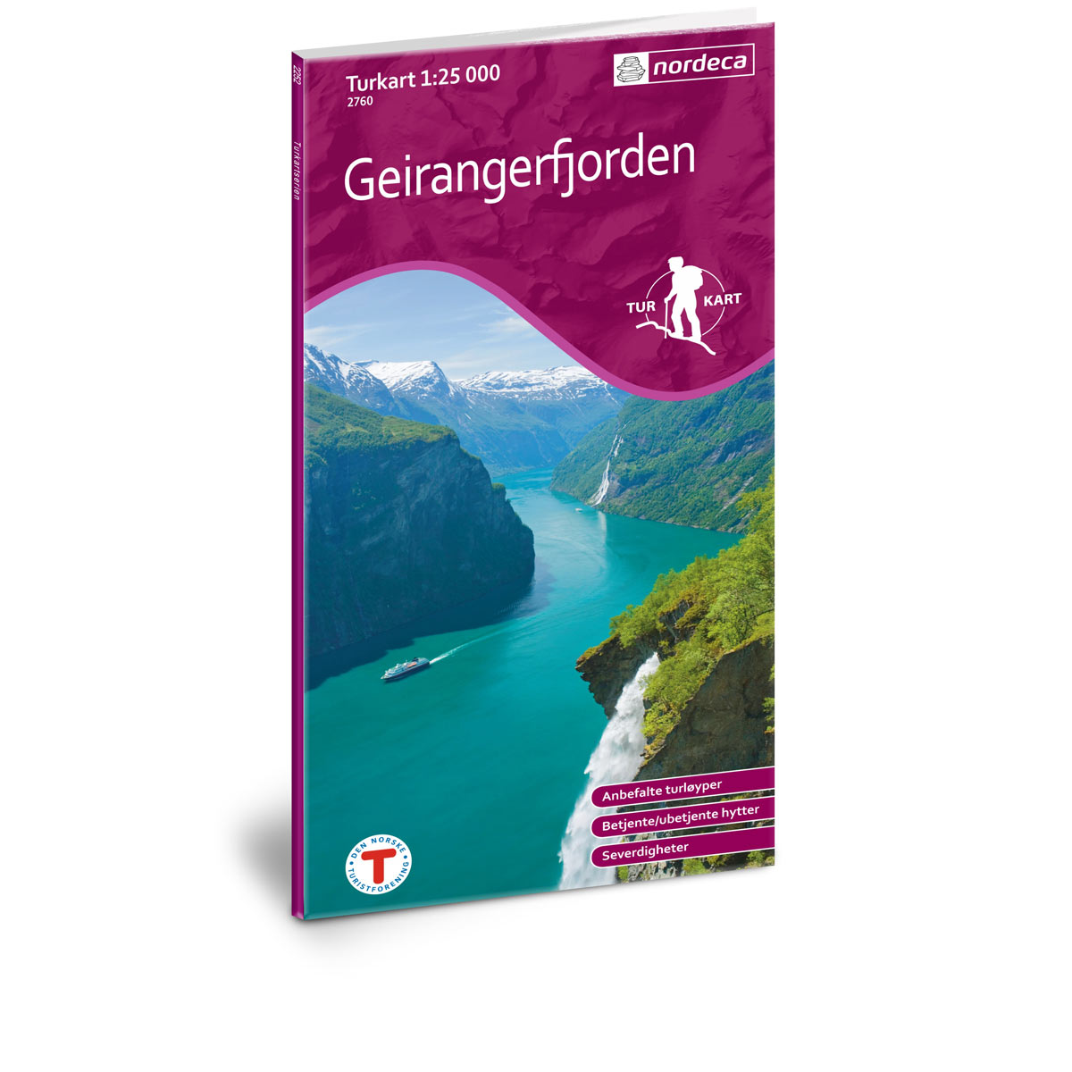
Geirangerfjorden DNT Hiking Map
Detailed hiking map of Geirangerfjorden, developed by Nordic Maps (formerly Nordeca) in collaboration with the Norwegian Trekking Association. DNT Hiking Map has been the first choice for hikers for several decades, and is known for good readability, well-designed cartography and practical information adapted to active outdoor life.
-
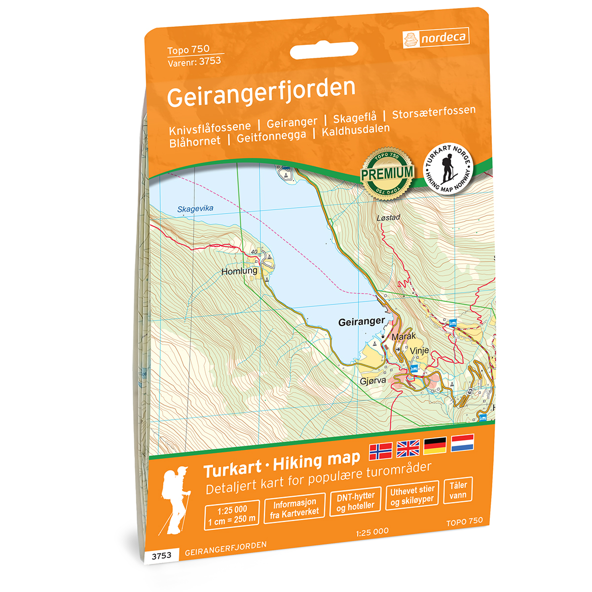
Geirangerfjorden Topo 750 Turkart
Detailed topographic hiking map of Geirangerfjorden Topo 750 Turkart, from Nordic Maps (formerly Nordeca). Topo 750 provides an extra level of detail and is well suited for close trips and demanding traffic.
-
Germany
Two-sided car and tourist map of Germany with 17 city map sections and index booklet with distance table.
-
Germany – roadmap (multilingual)
Detailed road map of Germany with full coverage of the country, including road network, tourist information and campsites. Suitable for planning and road travel. The map provides a good overview of both main roads and smaller routes, and is suitable for both short and longer journeys. The scale of 1:500,000 provides a good balance between…
-
Gjerstad Norge-serien Hiking Map
Detailed hiking map of Gjerstad in the Norge-serien – the classic red hiking maps that have been a trusted companion in Norwegian backpacks for several generations. The maps are systematically divided with overlap to adjacent maps, which provides good continuity as you move through the terrain.
-
Glittertinden DNT Turkart
Detailed hiking map of Glittertinden, developed by Nordic Maps (formerly Nordeca) in collaboration with Den norske Turistforening. DNT Hiking Maps have been the preferred choice for hikers for decades, known for their excellent readability, thoughtful design, and practical information tailored for active outdoor life.
-
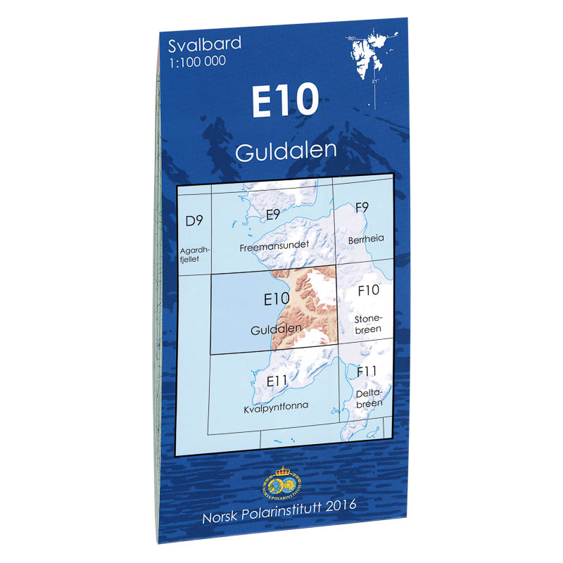
Gold Valley E10
Map in scale 1:100000 from the Norwegian Polar Institute.
-
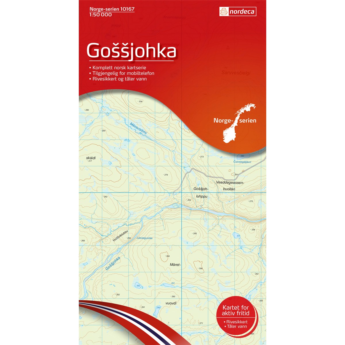
Gossjohka Norway Series Hiking Map
Detailed hiking map of Gossjohka from the Norway Series – the classic red hiking maps that have been a trusted companion in Norwegian backpacks for generations. The maps are systematically divided with overlaps to adjacent maps, ensuring good continuity as you move through the terrain.
-
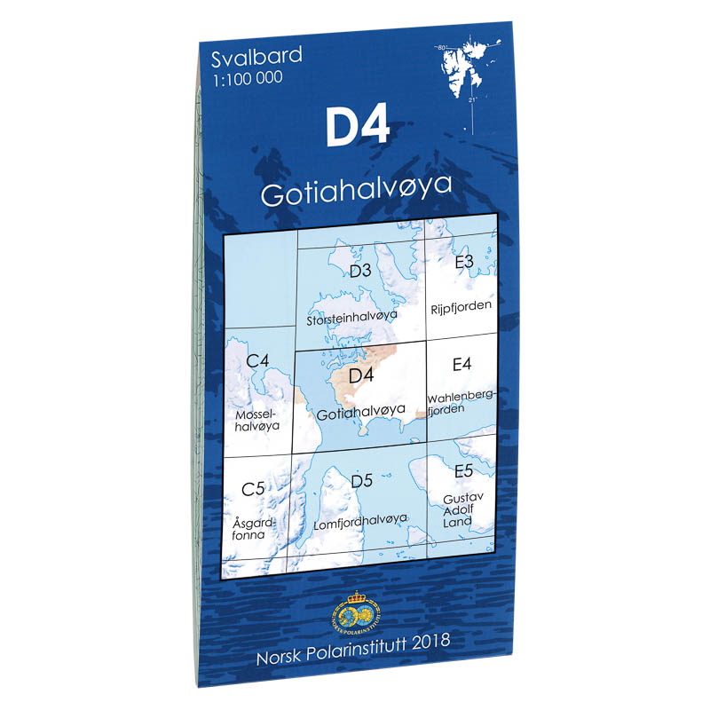
Gotiahalvøya D4
Map in scale 1:100000 from the Norwegian Polar Institute.
-
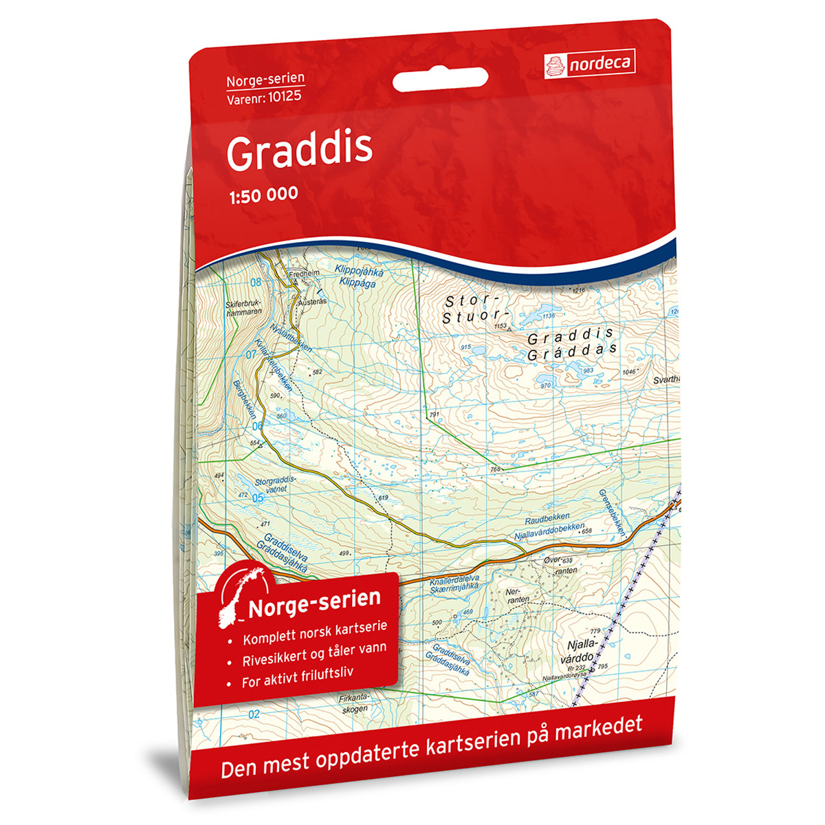
Graddis Norway Series Hiking Map
Detailed hiking map of Graddis in the Norway series – the classic red hiking maps that have been a trusted companion in Norwegian backpacks for several generations. The maps are systematically divided with overlap to adjacent maps, providing good continuity as you move through the terrain.
-
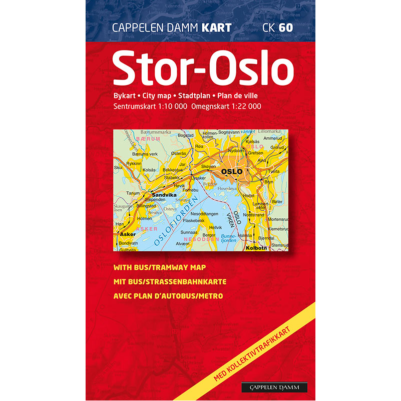
Greater Oslo city map 2020-2023
Large city map of the entire Oslo area with district boundaries, toll rings and public transport maps on the back. Covers from Asker to Lørenskog.
-
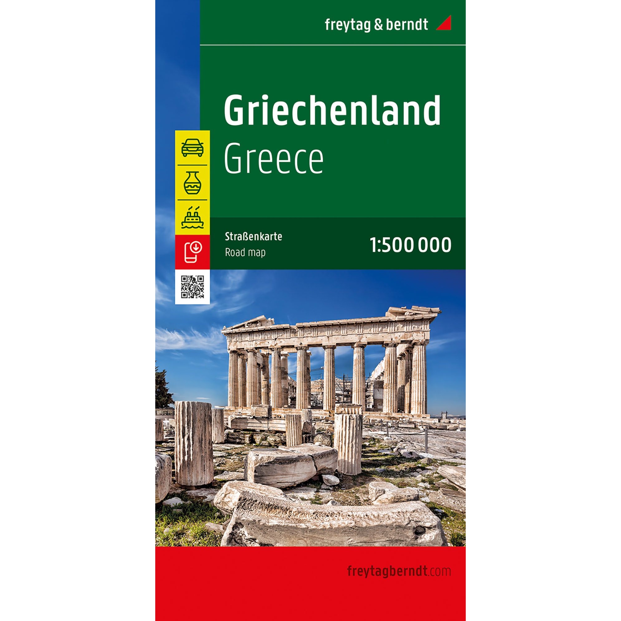
Greece – road map (multilingual)
Clear road map of Greece at a scale of 1:500,000, suitable for car, motorcycle and campervan trips. The map shows ferry connections, tourist attractions and contains a digital place index and cultural guide. The map is printed double-sided and the map is published in 2025.
-
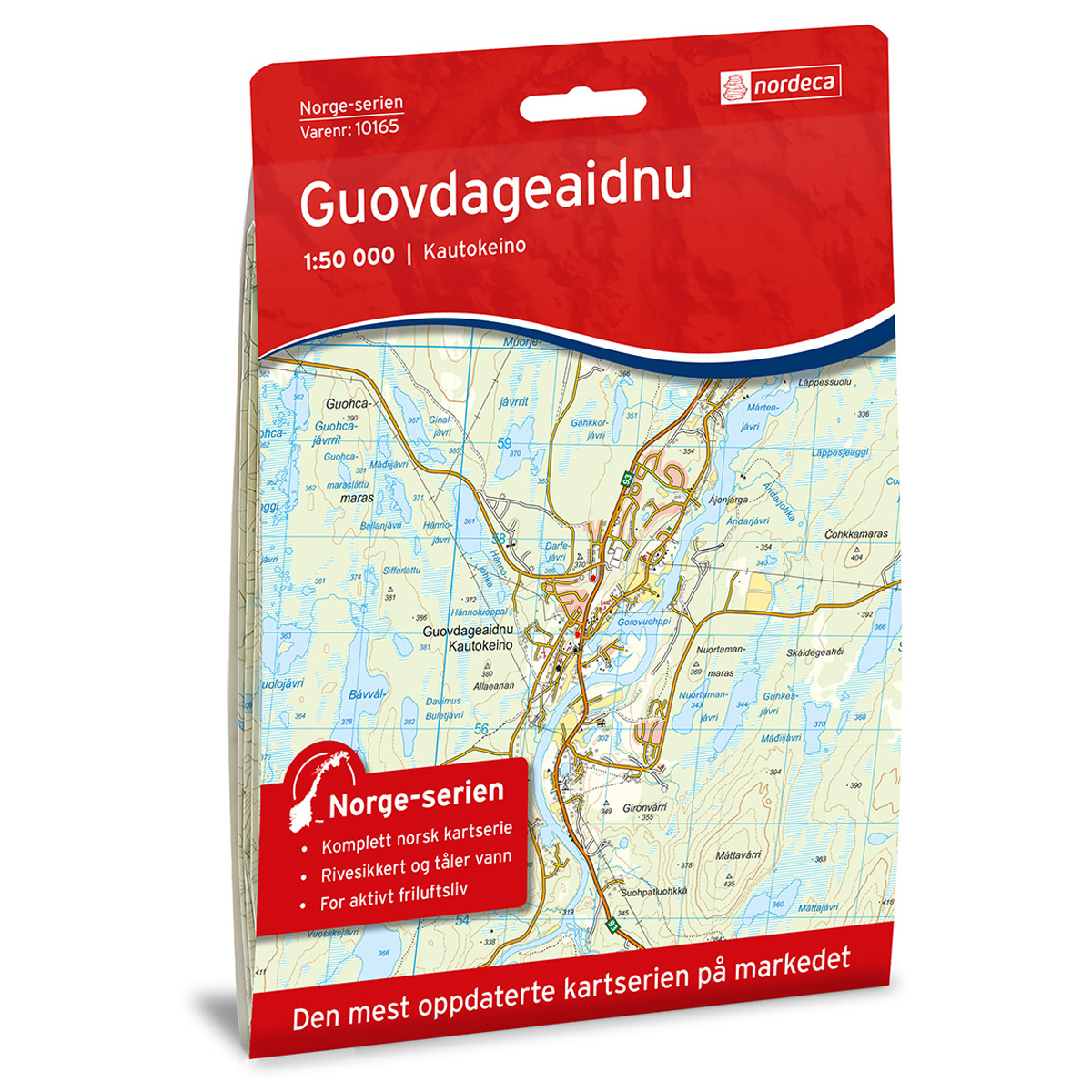
Guovdageaidnu Norway Series Hiking Map
Detailed hiking map of Guovdageaidnu in the Norway Series – the classic red hiking maps that have been a faithful companion in Norwegian backpacks for generations. The maps are systematically divided with overlaps for adjacent maps, providing seamless continuity as you move through the terrain.
-
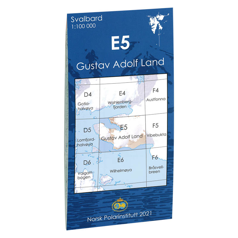
Gustav Adolf Land E5
Map in scale 1:100000 from the Norwegian Polar Institute.
-
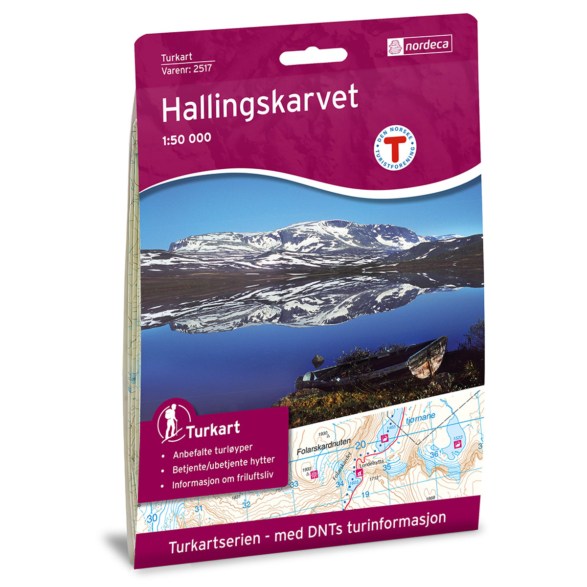
Hallingskarvet DNT Hiking Map
Detailed hiking map of Hallingskarvet, developed by Nordic Maps (formerly Nordeca) in collaboration with the Norwegian Trekking Association. DNT Hiking Maps have been the preferred choice for hikers for decades, known for their excellent readability, thoughtful design, and practical information tailored for active outdoor pursuits.
-
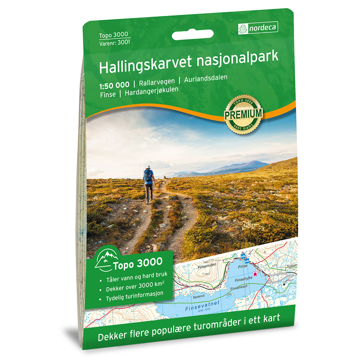
Hallingskarvet National Park Topo 3000 Hiking Map
Detailed topographic hiking map of Hallingskarvet National Park Topo 3000 Hiking Map, from Nordic Maps (formerly Nordeca). Topo 3000 is a popular map series for mountain hikes and longer trips in varied terrain.
-
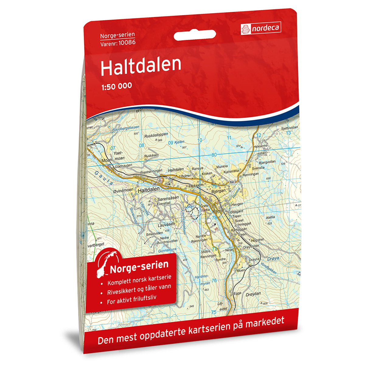
Haltdalen Norway Series Hiking Map
Detailed hiking map of Haltdalen in the Norway Series – the classic red hiking maps that have been a trusted companion in Norwegian backpacks for generations. The maps are systematically divided with overlaps to adjacent maps, ensuring good continuity as you move through the terrain.