-
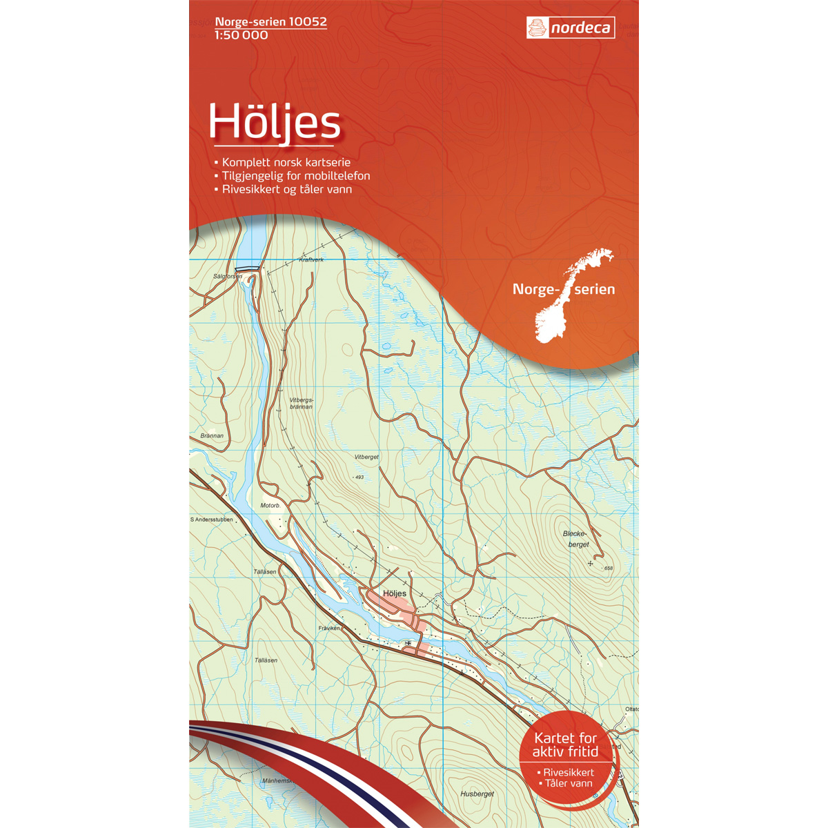
Höljes Norway Series Hiking Map
Detailed hiking map of Höljes in the Norway Series – the classic red hiking maps that have been a trusted companion in Norwegian backpacks for several generations. The maps are systematically divided with overlap to adjacent maps, providing good continuity as you move through the terrain.
-

Hopen G14
Map in scale 1:100000 from the Norwegian Polar Institute.
-
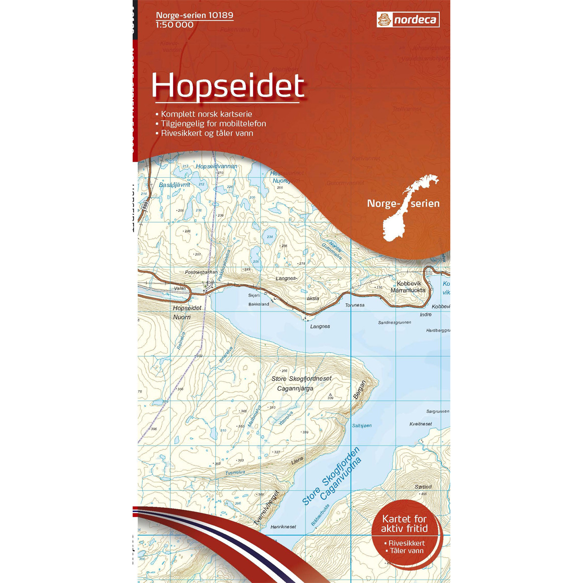
Hopseidet Norway Series Hiking Map
Detailed hiking map of Hopseidet in the Norway Series – the classic red hiking maps that have been a faithful companion in Norwegian backpacks for generations. The maps are systematically divided with overlaps with adjacent maps, providing seamless continuity as you move through the terrain.
-
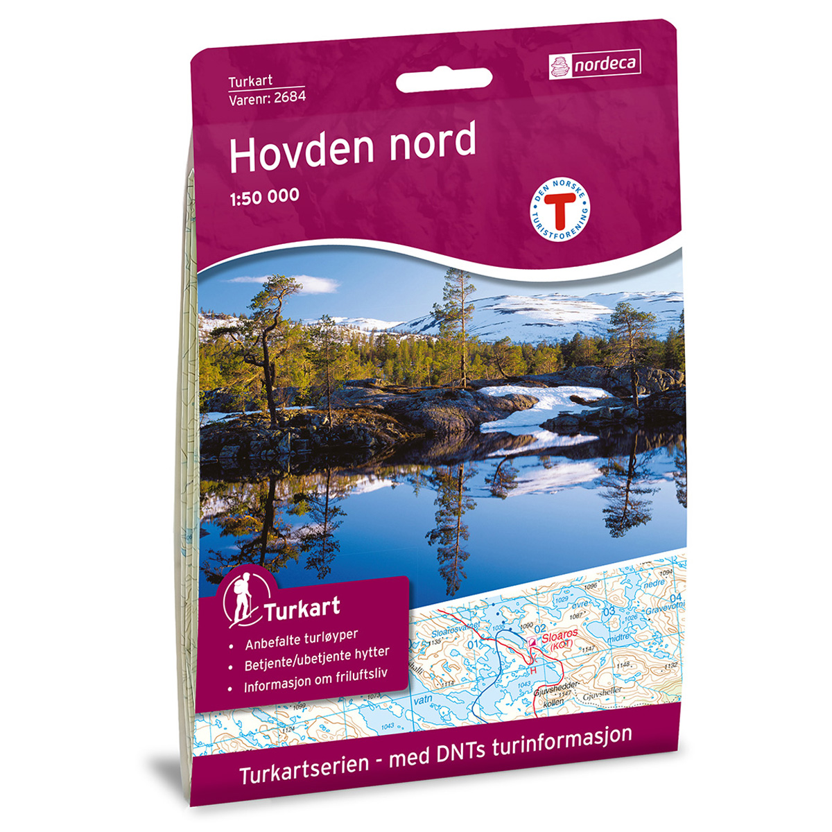
Hovden North DNT Turkart
Detailed hiking map of Hovden Nord, developed by Nordic Maps (formerly Nordeca) in collaboration with Den norske Turistforening. DNT Hiking Maps have been the preferred choice for hikers for decades, known for their excellent readability, thoughtful design, and practical information tailored for active outdoor life.
-
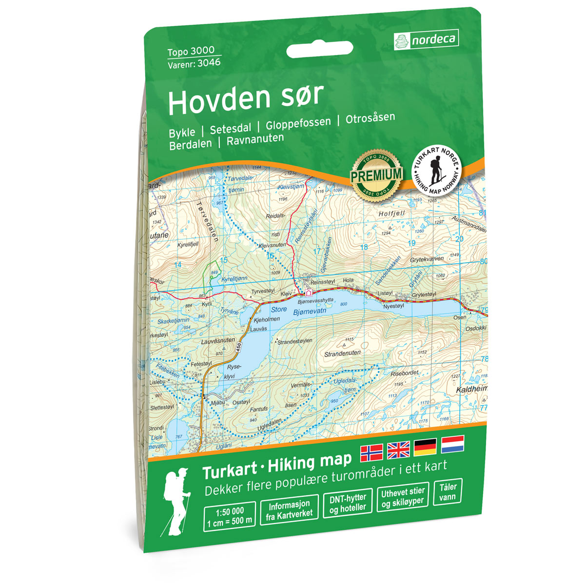
Hovden south Topo 3000 Turkart
Detailed topographic hiking map of Hovden South Topo 3000 Turkart, from Nordic Maps (formerly Nordeca). Topo 3000 is a popular map series for mountain hikes and longer hikes in varied terrain.
-
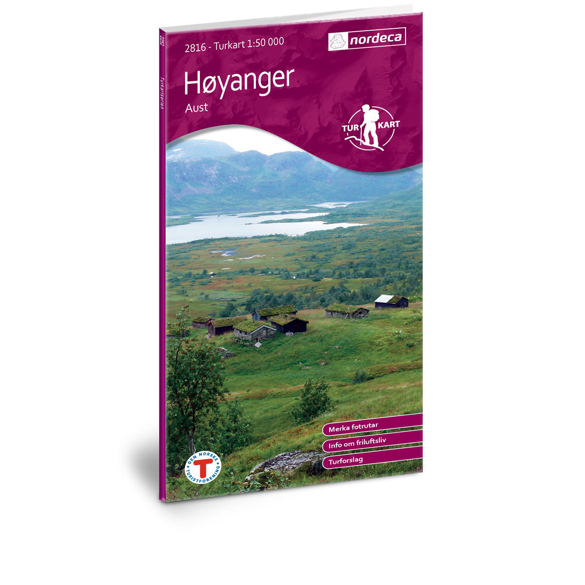
Høyanger Aust DNT Hiking Map
Detailed hiking map of Høyanger Aust, developed by Nordic Maps (formerly Nordeca) in collaboration with the Norwegian Trekking Association. DNT Hiking Maps have been the preferred choice for hikers for decades, known for their excellent readability, thoughtful design, and practical information tailored for active outdoor life.
-

Høyanger Vest DNT Hiking Map
Detailed hiking map of Høyanger Vest, developed by Nordic Maps (formerly Nordeca) in collaboration with the Norwegian Trekking Association. DNT Hiking Maps have been the preferred choice for hikers for decades, known for their excellent readability, thoughtful design, and practical information tailored for active outdoor life.
-
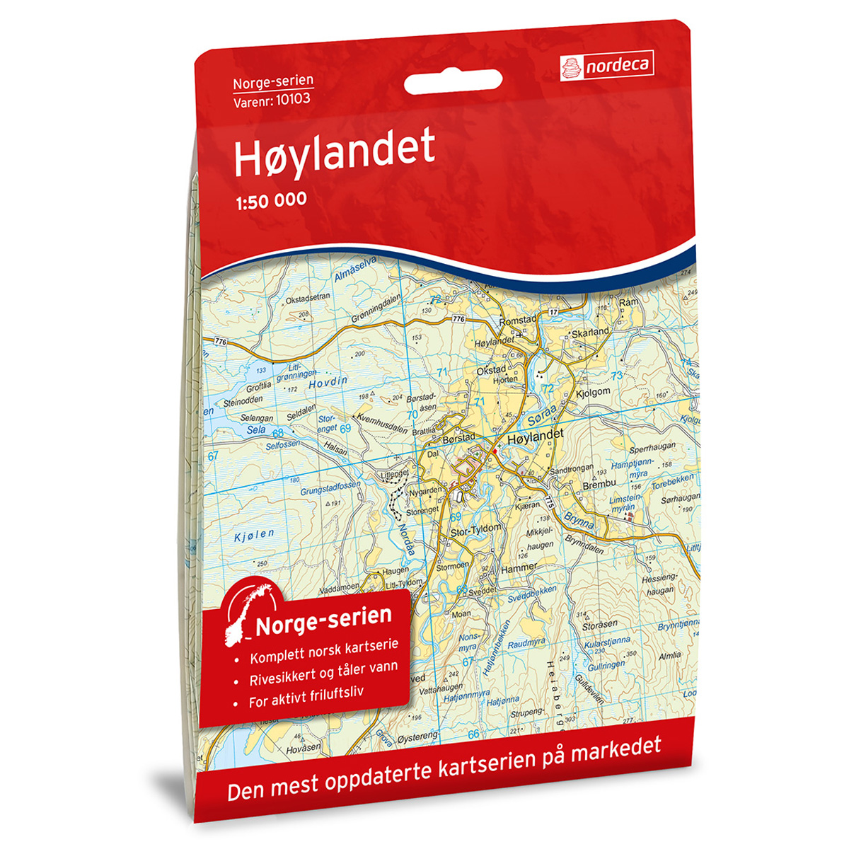
Høylandet Norge-serien Hiking Map
Detailed hiking map of Høylandet in the Norge-serien – the classic red hiking maps that have been a trusted companion in Norwegian backpacks for generations. The maps are systematically divided with overlap to adjacent maps, providing good continuity as you move through the terrain.
-
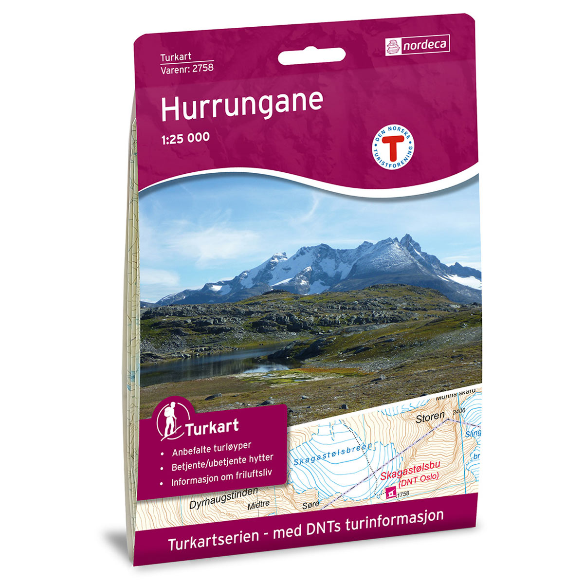
Hurrungane DNT Turkart
Detailed hiking map of Hurrungane, developed by Nordic Maps (formerly Nordeca) in collaboration with Den norske Turistforening. DNT Hiking Maps have been the preferred choice for hikers for decades, known for their excellent readability, thoughtful design, and practical information tailored for active outdoor life.
-
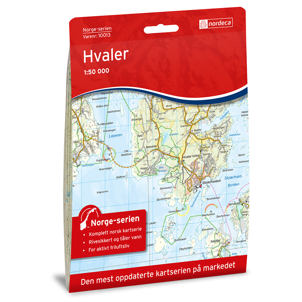
Hvaler Norway Series Hiking Map
Detailed hiking map of Hvaler from the Norway Series – the classic red hiking maps that have been a trusted companion in Norwegian backpacks for generations. The maps are systematically divided with overlap to adjacent maps, providing excellent continuity as you move through the terrain.
-

Ice cubes G4
Map in scale 1:100000 from the Norwegian Polar Institute.
-
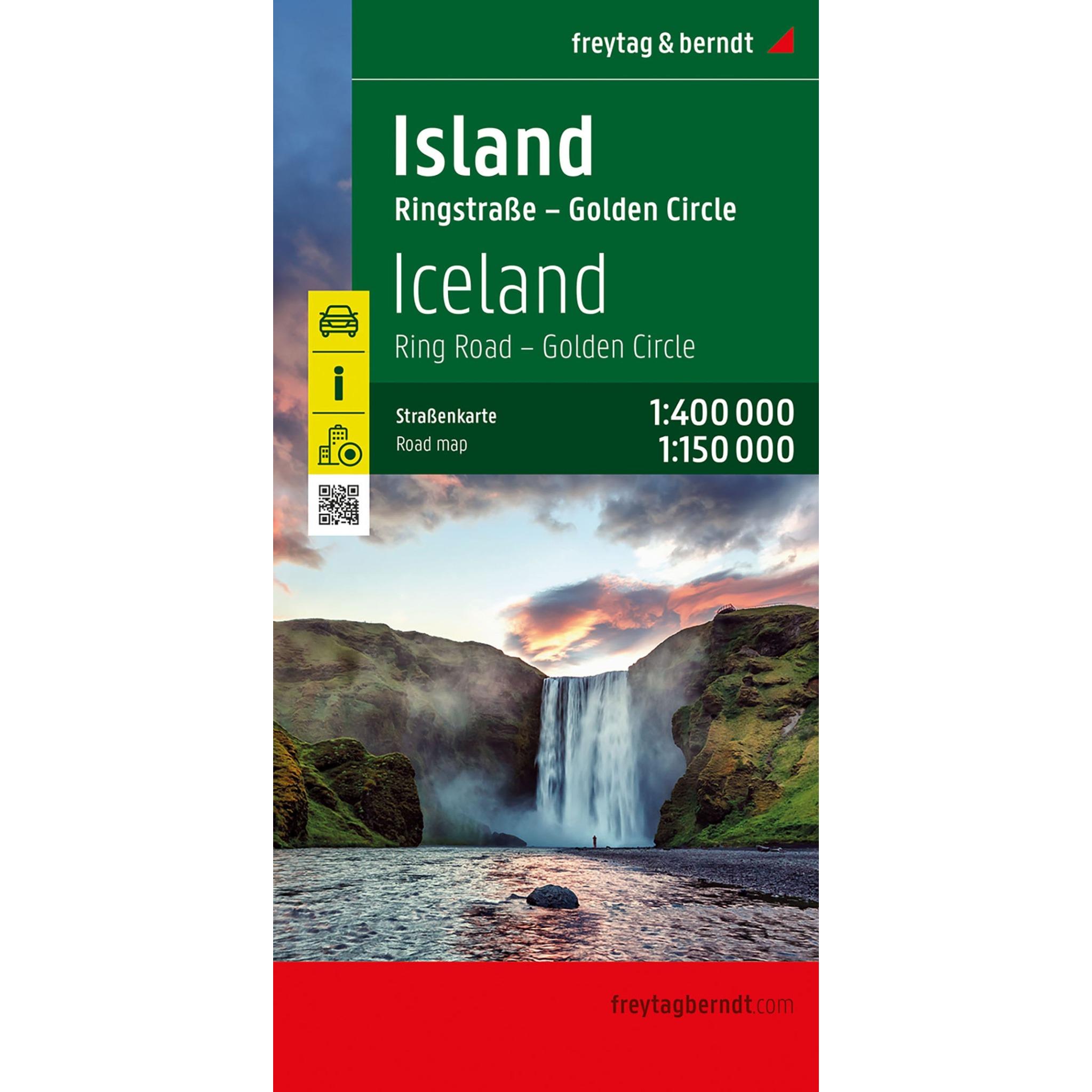
Iceland – road map (multilingual)
New and updated edition 2026: Detailed road map of southern Norway at a scale of 1:250,000, designed for road trips, motorcycle tours and travel by motorhome or caravan. The map covers the area around Oslo, Bergen and Stavanger and provides a clear overview of the road network, distances and important connections in southern Norway. The…
-
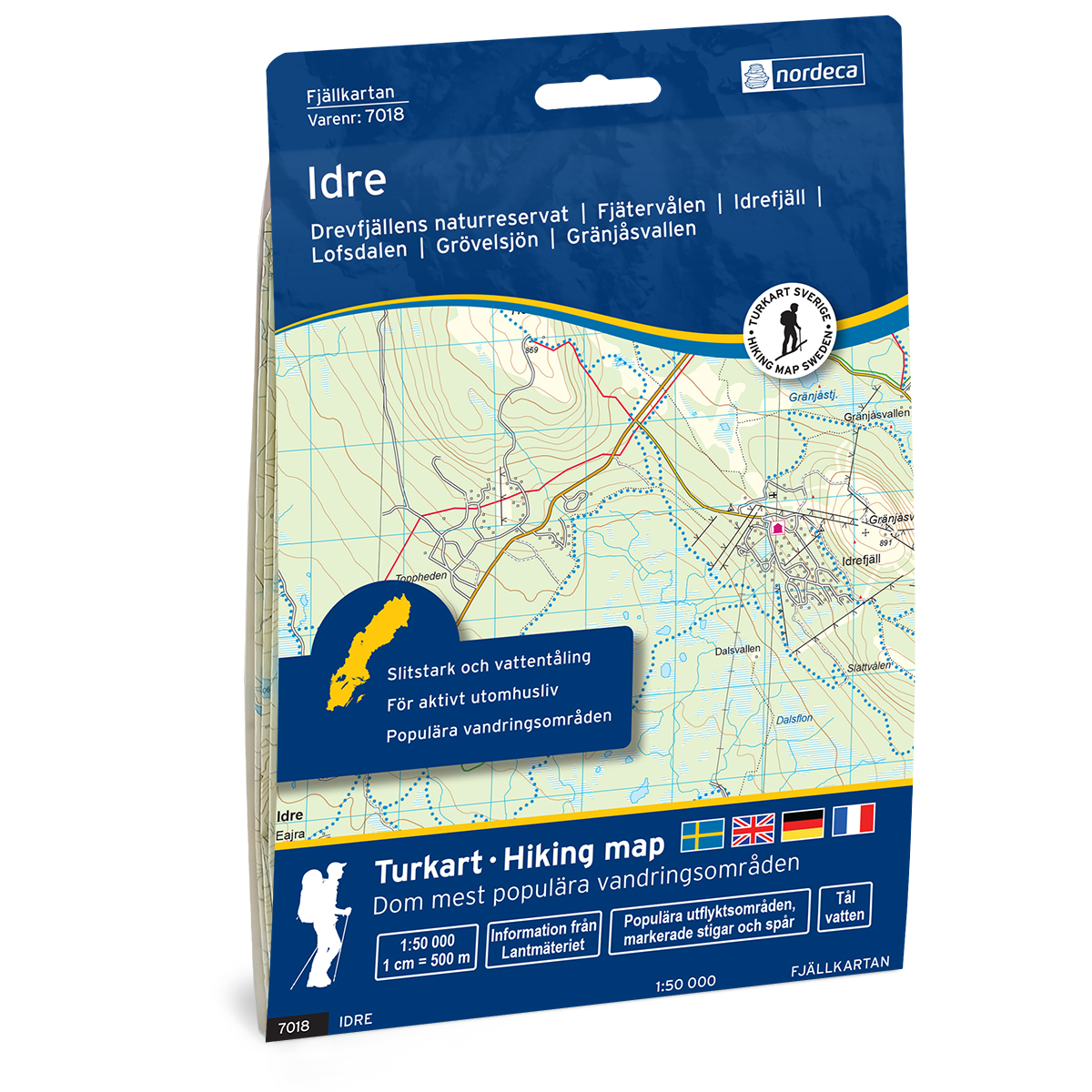
Idre Swedish Mountain Map
Detailed mountain map of Idre Svensk Fjellkart, developed by Nordic Maps (formerly Nordeca). The map is well suited for hiking and mountain trekking in Swedish mountain areas.
-

Ifjordfjellet Norway Series Hiking Map
Detailed hiking map of Ifjordfjellet in the Norway Series – the classic red hiking maps that have been a trusted companion in Norwegian backpacks for generations. The maps are systematically divided with overlap to adjacent maps, providing good continuity as you move through the terrain.
-
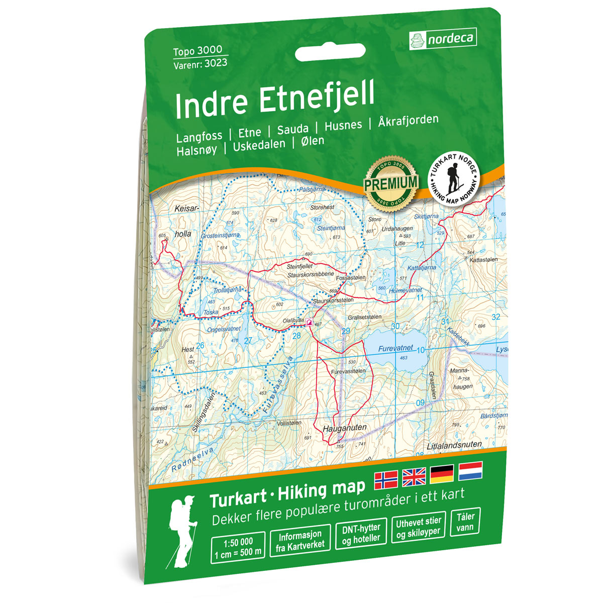
Indre Etnefjell Topo 3000 Turkart
Detailed topographic hiking map of Indre Etnefjell Topo 3000 Turkart, from Nordic Maps (formerly Nordeca). Topo 3000 is a popular map series for mountain hikes and longer hikes in varied terrain.
-
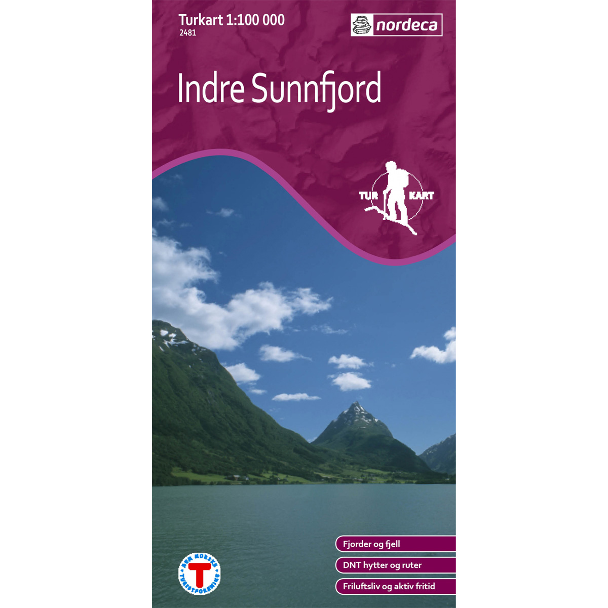
Indre Sunnfjord DNT Hiking Map
Detailed hiking map of Indre Sunnfjord, developed by Nordic Maps (formerly Nordeca) in collaboration with the Norwegian Trekking Association. DNT Hiking Map has for several decades been the first choice for hikers, and is known for good readability, well-designed cartography and practical information adapted for active outdoor life.
-
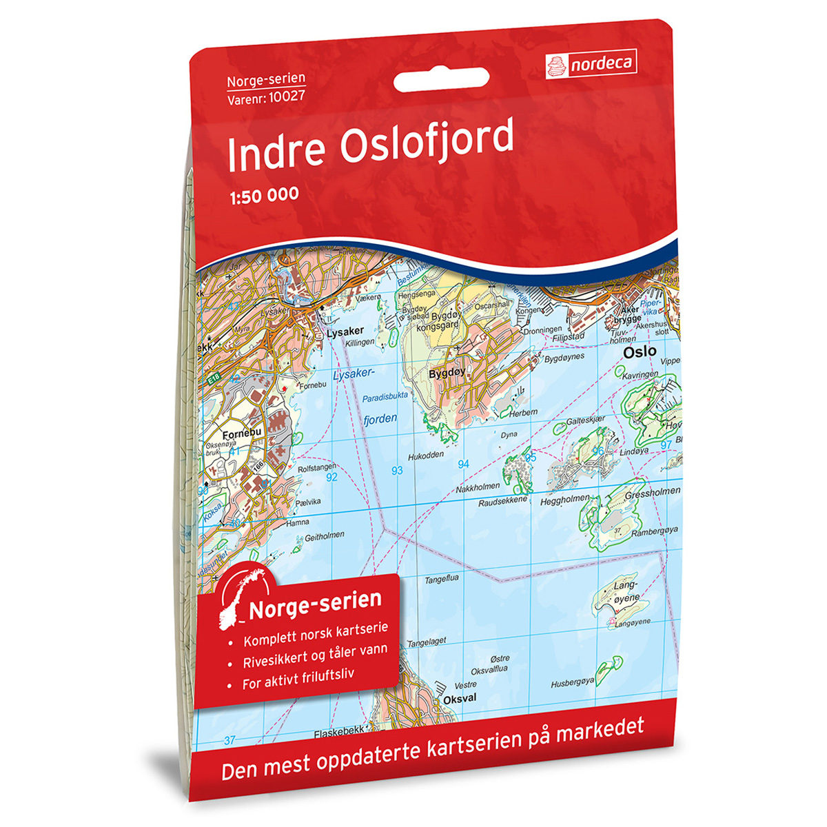
Inner Oslo Fjord Norway Series Hiking Map
Detailed hiking map of the Inner Oslo Fjord in the Norway Series – the classic red hiking maps that have been a faithful companion in Norwegian backpacks for generations. The maps are systematically divided with overlaps against adjacent maps, providing excellent continuity as you move through the terrain.
-
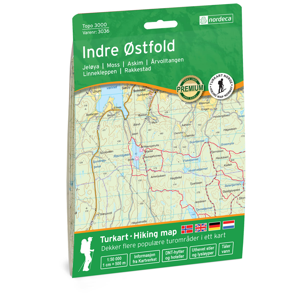
Inner Østfold Topo 3000 Turkart
Detailed topographic hiking map of Inner Østfold Topo 3000 Turkart, from Nordic Maps (formerly Nordeca). Topo 3000 is a popular map series for mountain hikes and longer hikes in varied terrain.
-
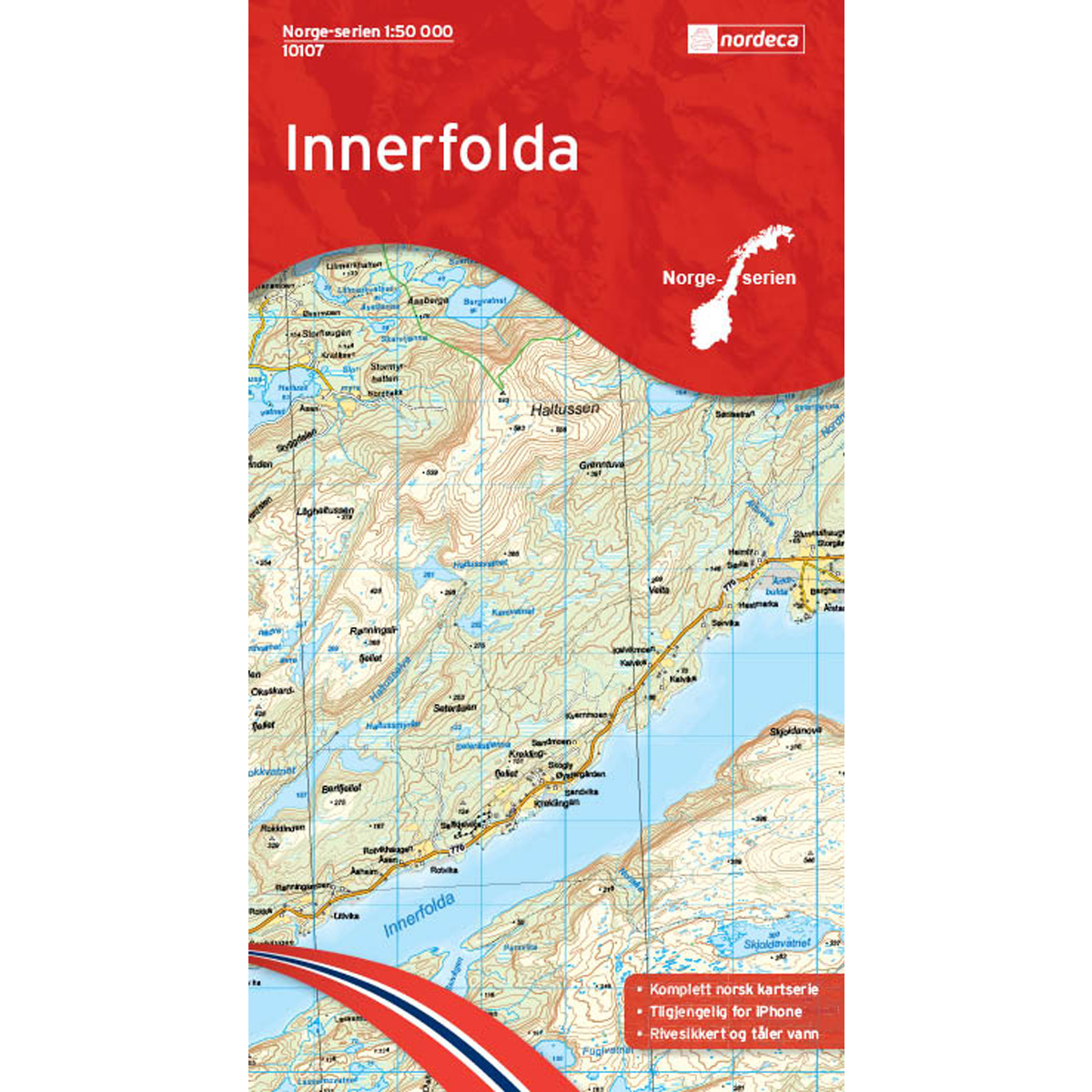
Innerfolda Norway Series Hiking Map
Detailed hiking map of Innerfolda from the Norway Series – the classic red hiking maps that have been a trusted companion in Norwegian backpacks for generations. The maps are systematically divided with overlaps to adjacent maps, ensuring good continuity as you move through the terrain.
-
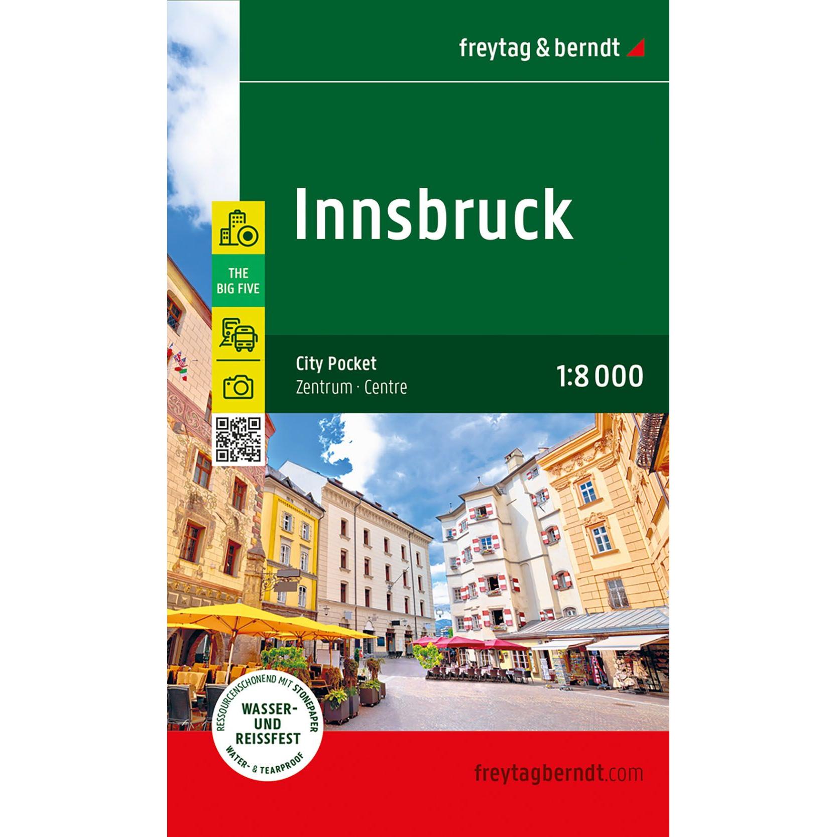
Innsbruck – road map (multilingual)
Detailed road map of Innsbruck city center in compact format, with an overview of streets, sights and important places. Suitable for orientation in the city. The map focuses on the inner city and is printed on durable material that can withstand use in all kinds of weather. The 1:8,000 scale provides a high level of…