-
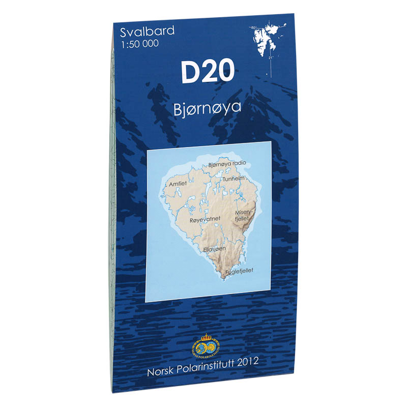
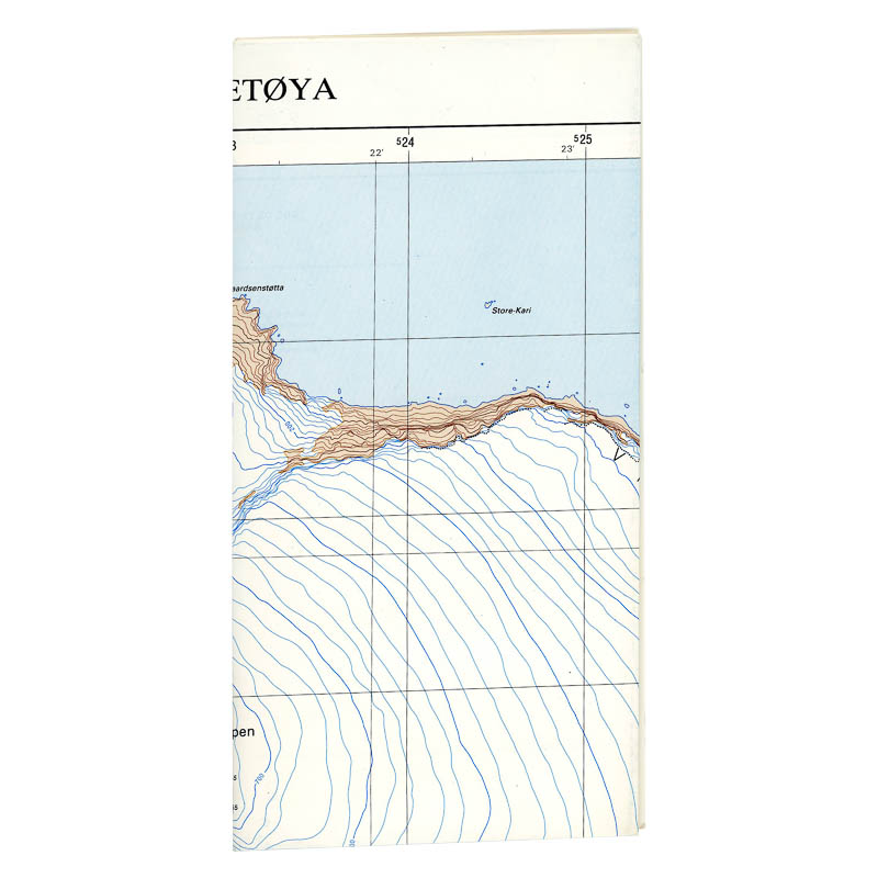
Bjørnøya D20
Map in scale 1:50000 from the Norwegian Polar Institute.
-
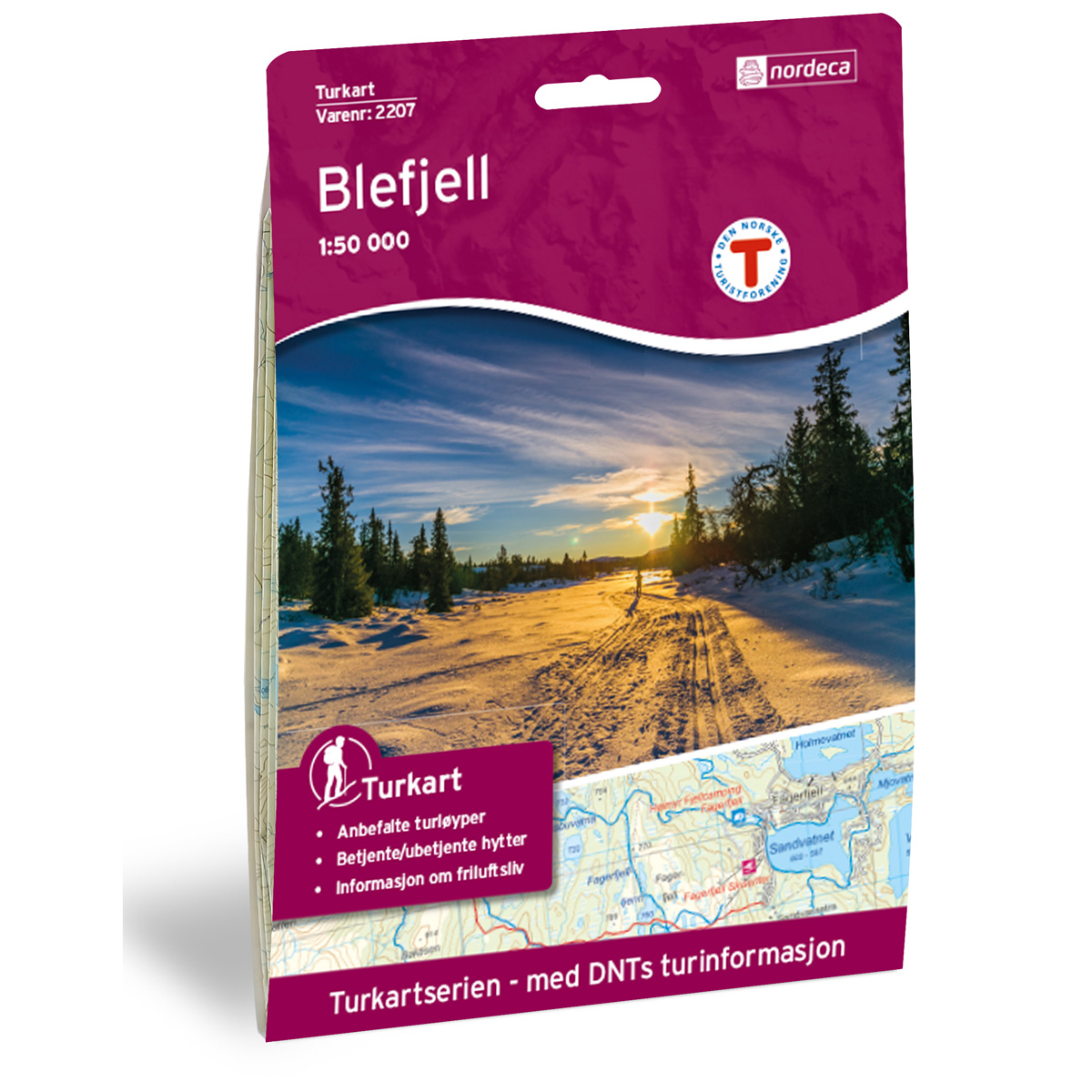
Blefjell DNT Hiking Map
Detailed hiking map of Blefjell, developed by Nordic Maps (formerly Nordeca) in collaboration with the Norwegian Trekking Association. DNT Hiking Map has for decades been the first choice for hikers, and is known for good readability, well-designed cartography and practical information adapted for active outdoor life.
-
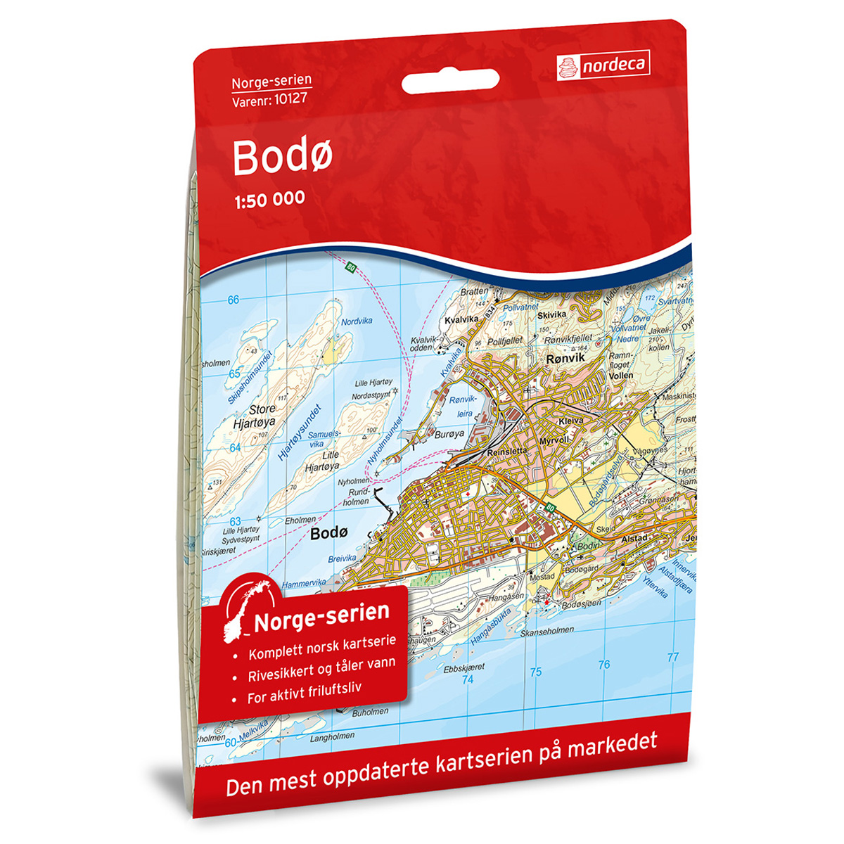
Bodø Norway Series Hiking Map
Detailed hiking map of Bodø in the Norway Series – the classic red hiking maps that have been a trusted companion in Norwegian backpacks for generations. The maps are systematically divided with overlaps to adjacent maps, ensuring good continuity when navigating the terrain.
-
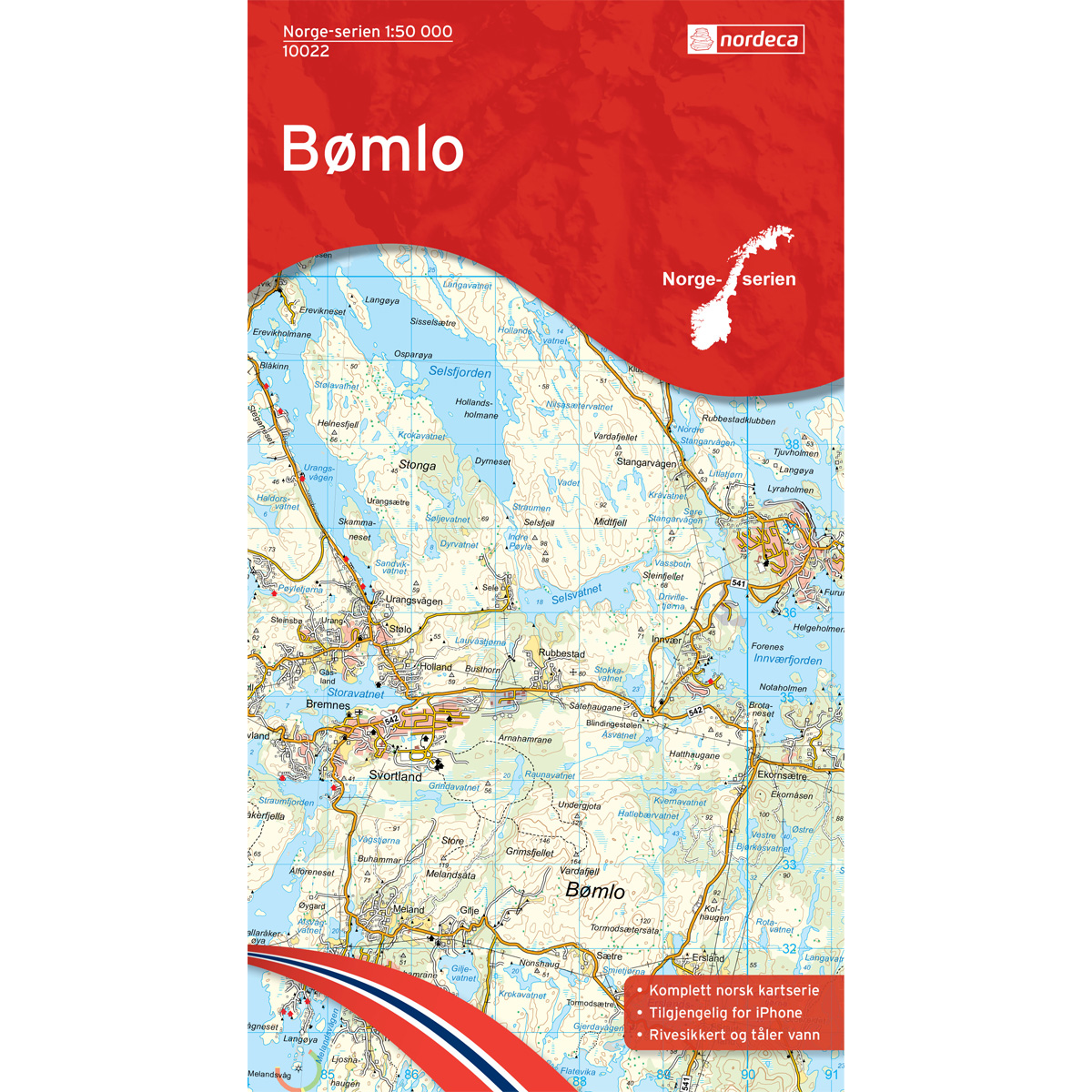
Bømlo Norway Series Hiking Map
Detailed hiking map of Bømlo in the Norway Series – the classic red hiking maps that have been a faithful companion in Norwegian backpacks for generations. The maps are systematically divided with overlaps for adjacent maps, providing seamless continuity as you move through the terrain.
-
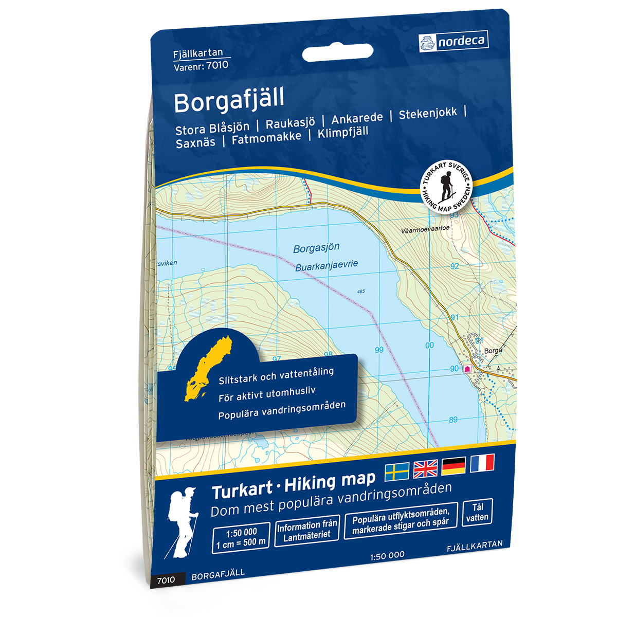
Borgafjäll Svensk Fjellkart
Detailed mountain map of Borgafjäll Swedish Mountain Map, developed by Nordic Maps (formerly Nordeca). The map is well suited for hiking and mountain trekking in Swedish mountain areas.
-
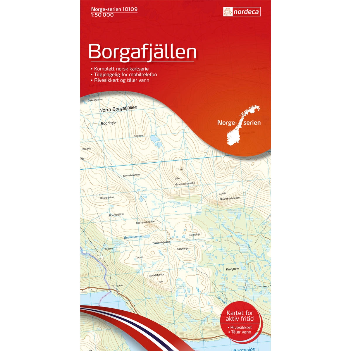
Borgarfjällen Norway Series Hiking Map
Detailed hiking map of Borgarfjällen in the Norway Series – the classic red hiking maps that have been a faithful companion in Norwegian backpacks for generations. The maps are systematically divided with overlaps for adjacent maps, providing seamless continuity as you move through the terrain.
-
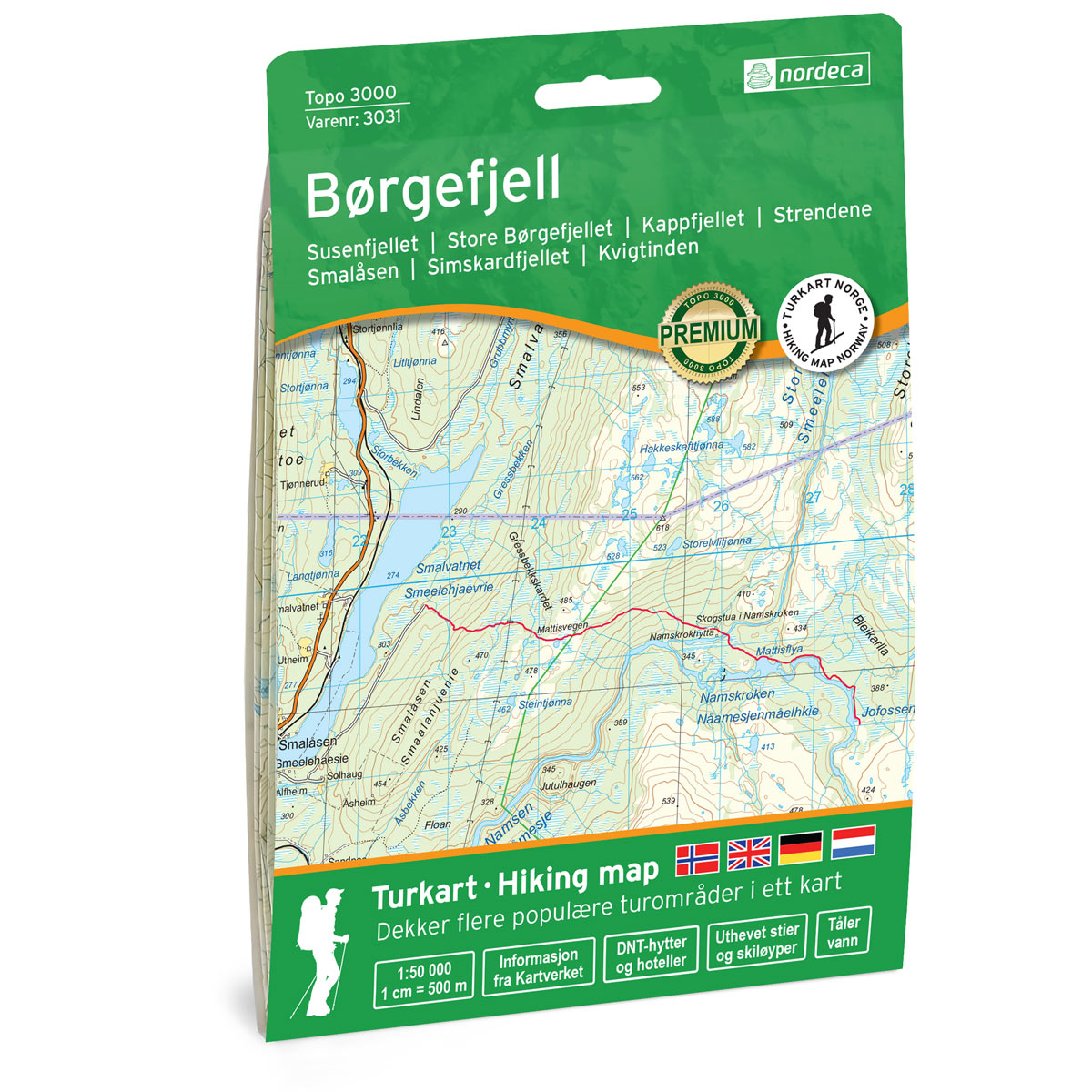
Børgefjell Topo 3000 Turkart
Detailed topographic hiking map of Børgefjell Topo 3000 Turkart, from Nordic Maps (formerly Nordeca). Topo 3000 is a popular map series for mountain hikes and longer hikes in varied terrain.
-
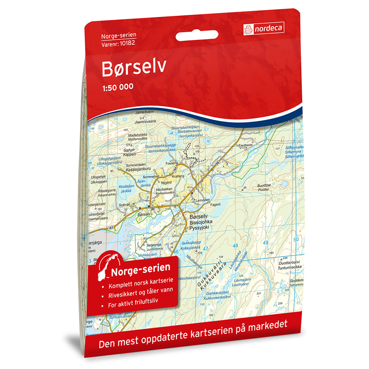
Børselv Norge-serien Hiking Map
Detailed hiking map of Børselv in the Norge-serien – the classic red hiking maps that have been a trusted companion in Norwegian backpacks for generations. The maps are systematically divided with overlap to adjacent maps, providing good continuity as you move through the terrain.
-
Bouvet Island
Map in scale 1:20000 from the Norwegian Polar Institute.
-
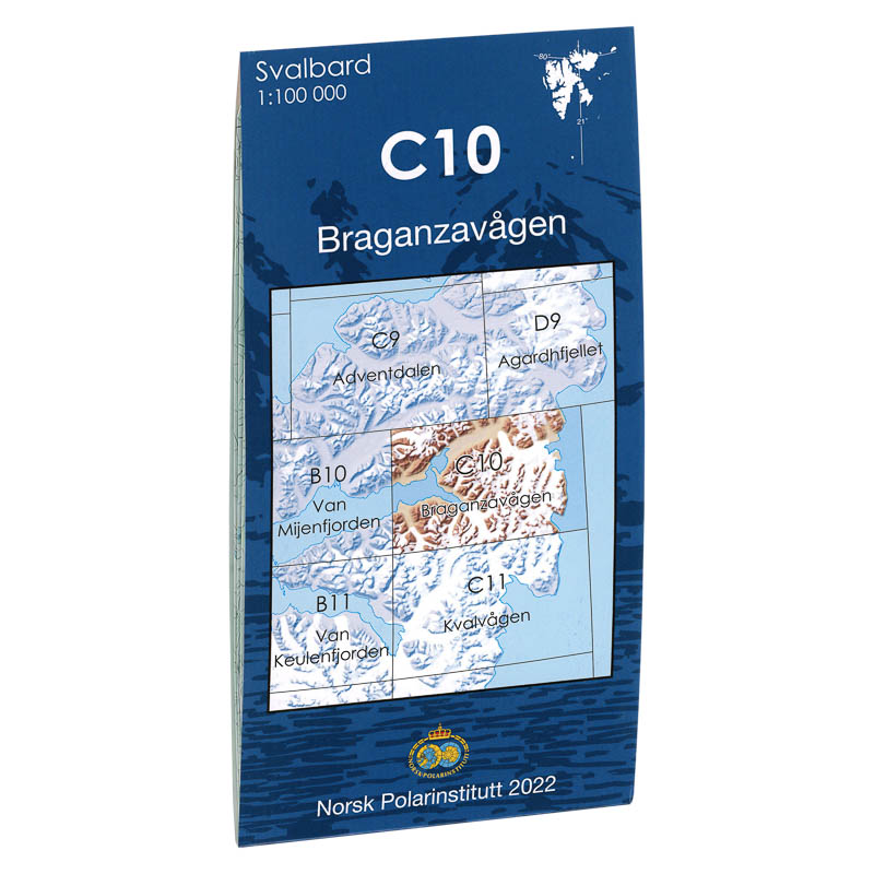
Braganza road C10
Map in scale 1:100000 from the Norwegian Polar Institute.
-

Bråsvellbreen F6
Map in scale 1:100000 from the Norwegian Polar Institute.
-

Breheimen National Park Topo 3000 Hiking Map
Detailed topographic hiking map of Breheimen National Park Topo 3000 Hiking Map, from Nordic Maps (formerly Nordeca). Topo 3000 is a popular map series for mountain hikes and longer treks in varied terrain.
-
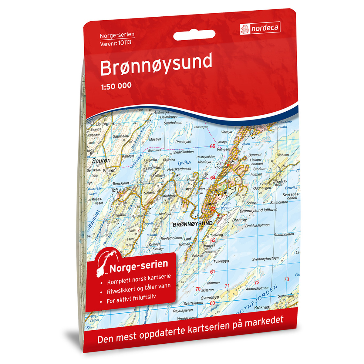
Brønnøysund Norway Series Hiking Map
Detailed hiking map of Brønnøysund from the Norway Series – the classic red hiking maps that have been a faithful companion in Norwegian backpacks for generations. The maps are systematically divided with overlaps to adjacent maps, ensuring good continuity as you move through the terrain.
-
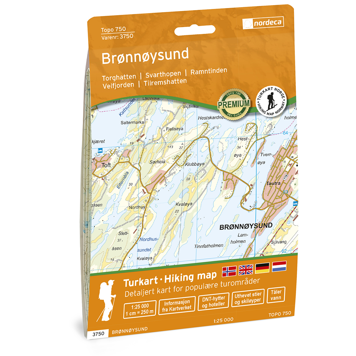
Brønnøysund Topo 750 Turkart
Detailed topographic hiking map of Brønnøysund Topo 750 Turkart, from Nordic Maps (formerly Nordeca). Topo 750 provides an extra level of detail and is well suited for close hikes and demanding traffic.
-

Brussels – roadmap (multilingual)
Detailed road map of Brussels with both overview map and separate city center map. Ideal for orientation and planning in the city. The map provides a good overview of streets, public transport and important areas, and is suitable both before and during your stay. The scale of 1:18,000 provides a good balance between overview and…
-
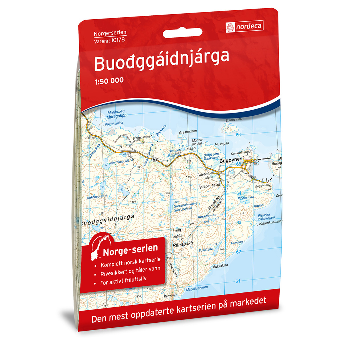
Buodggaidnjarga Norway Series Hiking Map
Detailed hiking map of Buodggaidnjarga in the Norway Series – the classic red hiking maps that have been a trusted companion in Norwegian backpacks for generations. The maps are systematically divided with overlap to adjacent maps, providing good continuity as you move through the terrain.
-
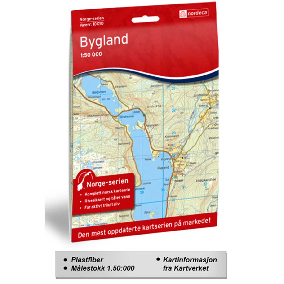
Bygland Norge-serien Hiking Map
Detailed hiking map of Bygland from the Norge-serien – the classic red hiking maps that have been a faithful companion in Norwegian backpacks for generations. The maps are systematically divided with overlaps against adjacent maps, providing seamless continuity as you move through the terrain.
-
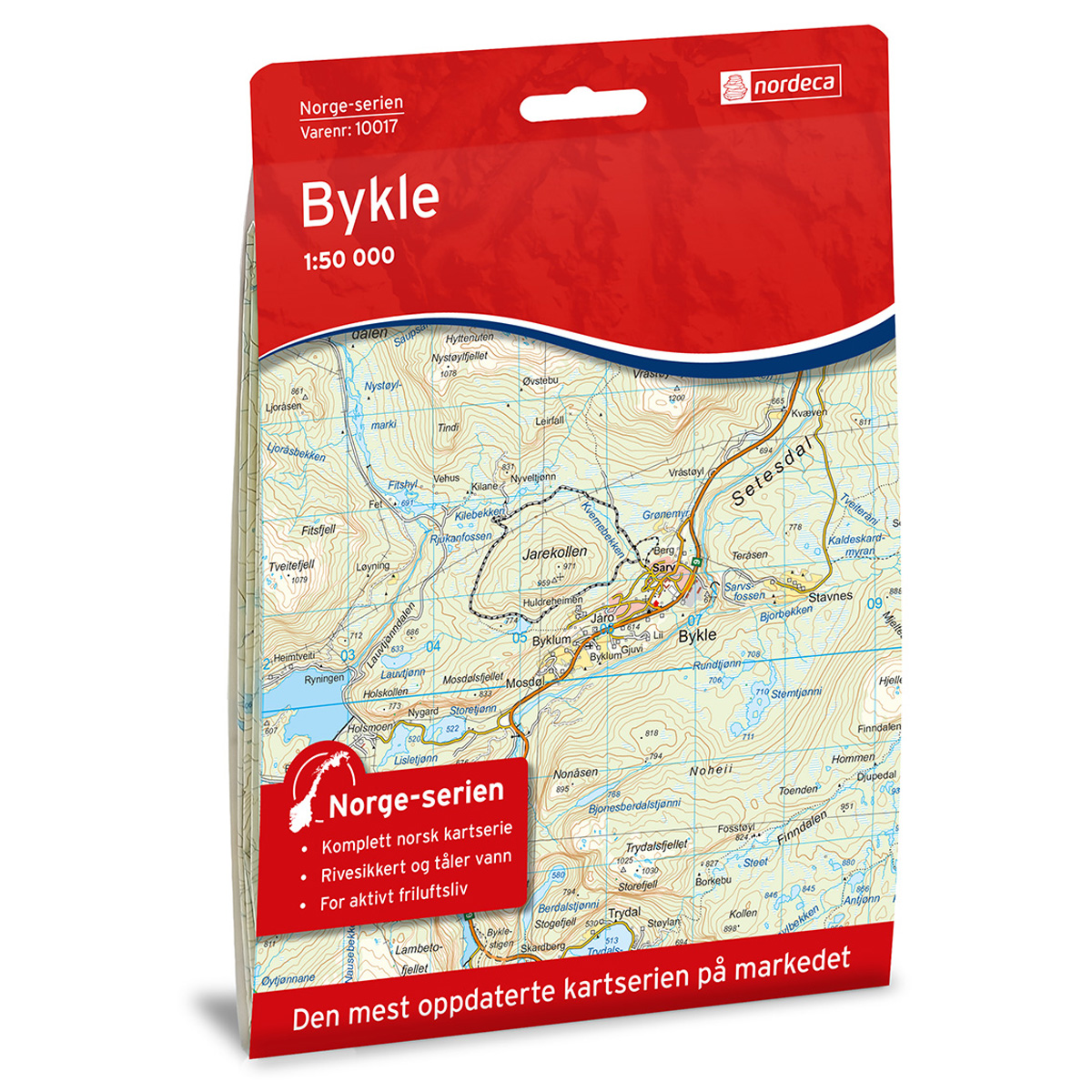
Bykle Norge-serien Hiking Map
Detailed hiking map of Bykle in the Norge-serien – the classic red hiking maps that have been a trusted companion in Norwegian backpacks for several generations. The maps are systematically divided with overlap to adjacent maps, providing good continuity as you move through the terrain.
-
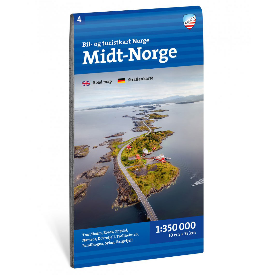
Car and tourist map Central Norway 1: 350 000
Updated car and tourist map of Central Norway at a scale of 1:350,000. The map provides a good overview of the road network, ferries and tourist routes in the region.
-
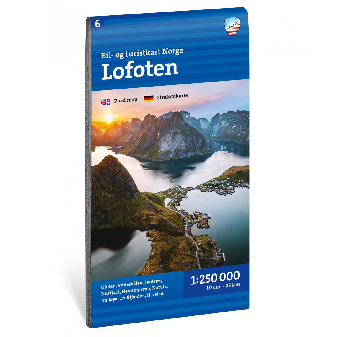
Car and tourist map Lofoten 1:250 000
Updated car and tourist map of Lofoten, Vesterålen, Narvik and Ofoten at a scale of 1:250 000. The map provides a good overview of the road network, ferries and attractions in the area.