-
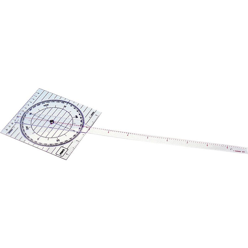
Course ruler with long arm – Peace
Course ruler in durable acrylic plastic with 360° protractor and rotating ruler. Graduated up to 10 nautical miles (1:50,000). Suitable for precise course setting on nautical charts.
-
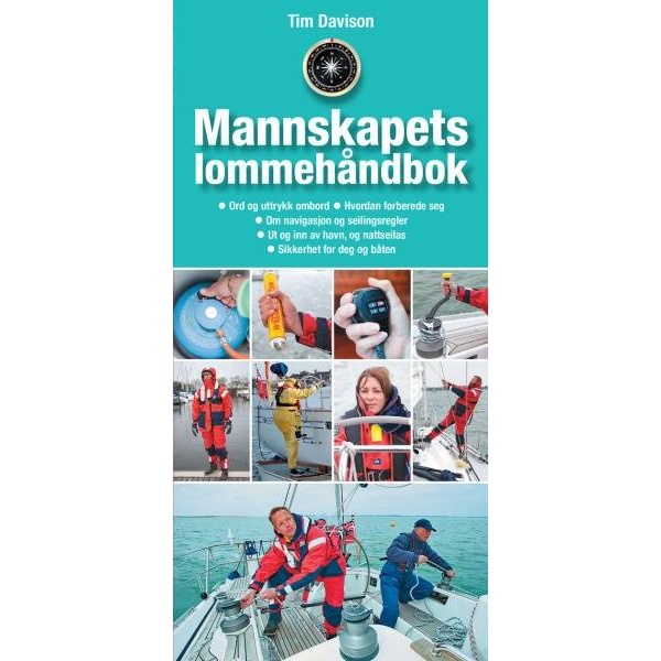
Crew pocket handbook
Practical pocket guide for boat crews – a quick overview of navigation, knots, safety and routines on board.
-
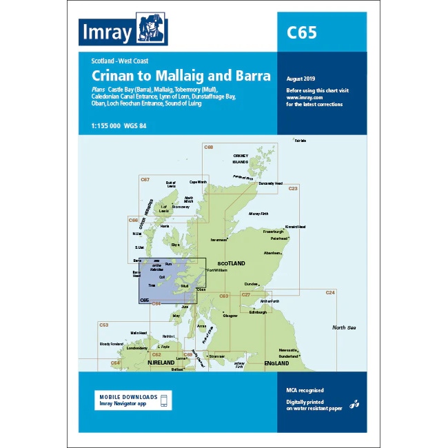
Crinan to Mallaig & Barra – Imray C65
Overview map from Imray covering Crinan, Mallaig and Barra, developed for sailing along the west coast of Scotland.
-
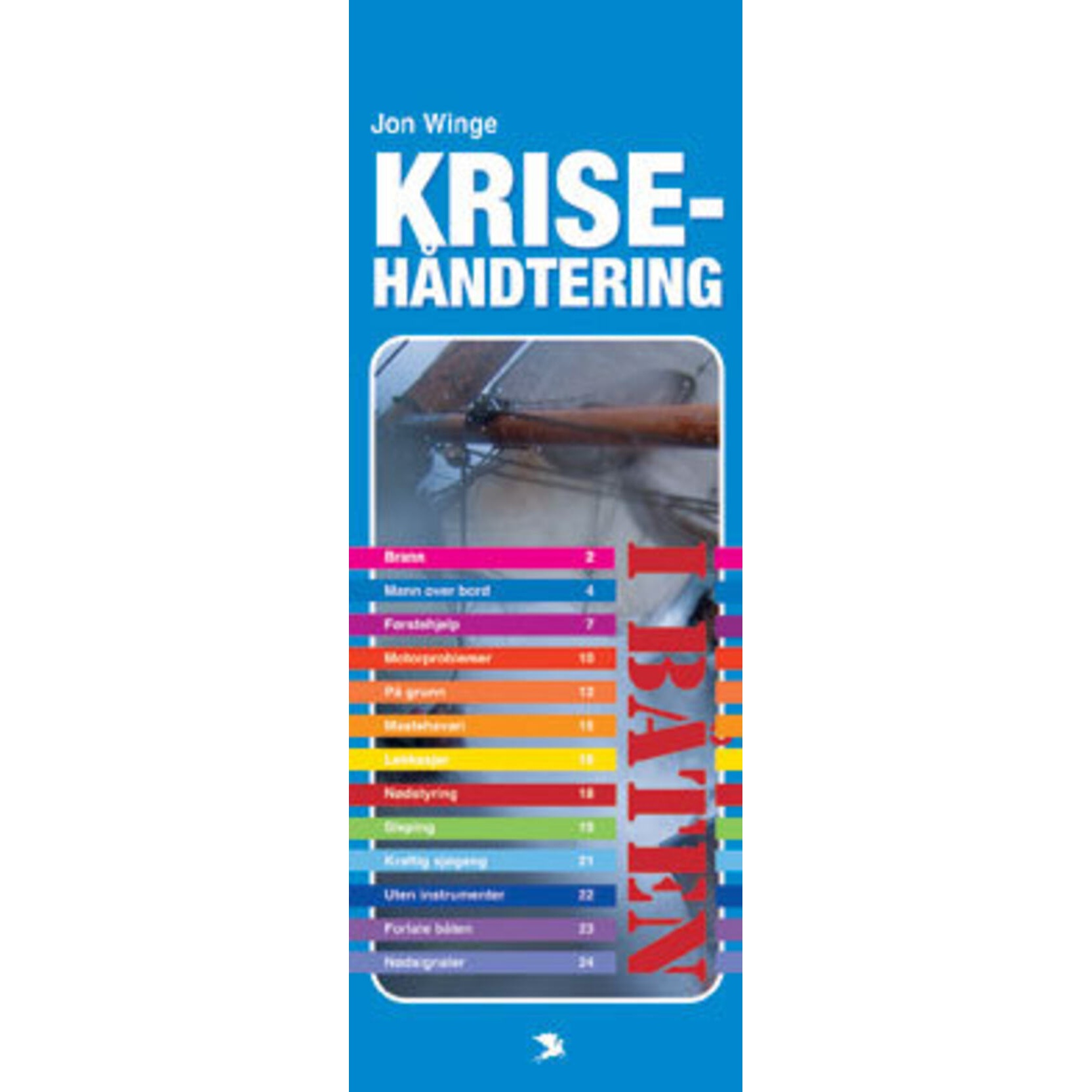
Crisis management in the boat
Practical guide to crisis management in boats – preparedness, decisions and safe handling of emergency situations at sea.
-
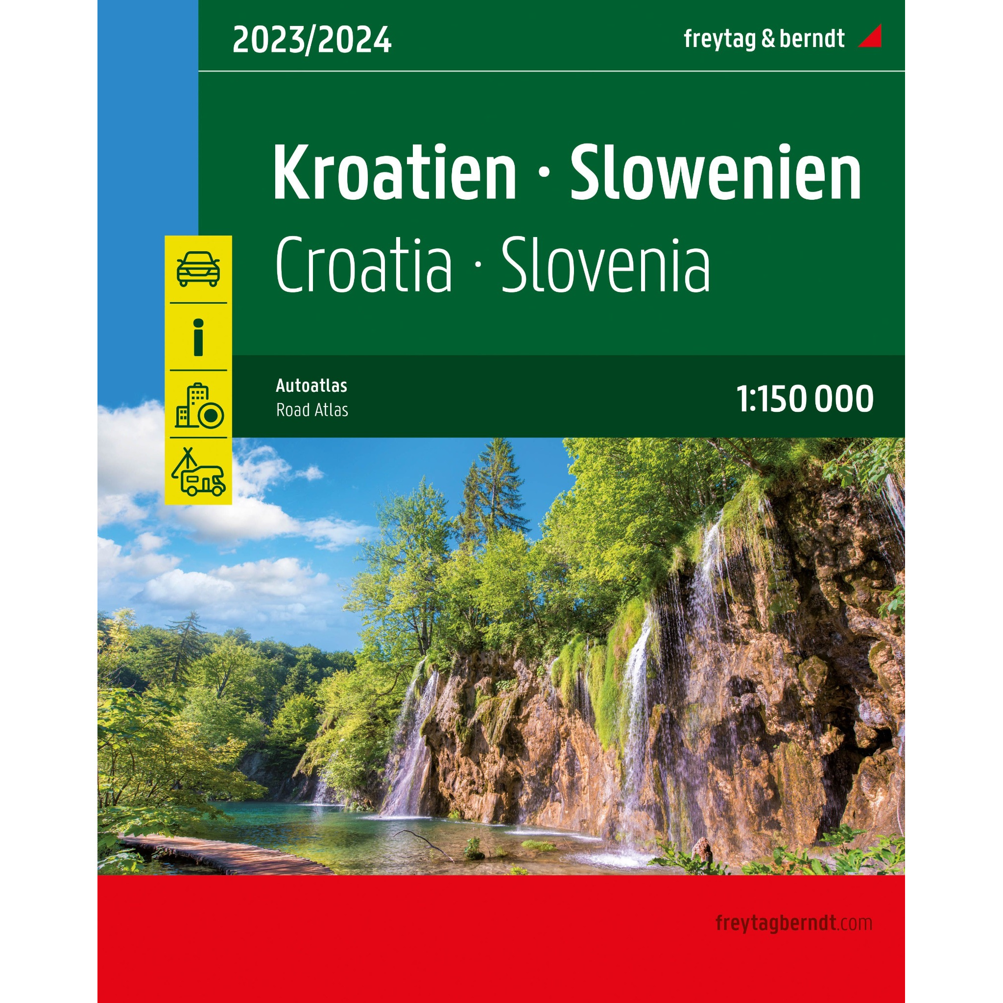
Croatia and Slovenia – large image atlas (multilingual)
Large and detailed car atlas of Croatia and Slovenia with road maps, city maps and campsites. Suitable for planning and road trips.
-
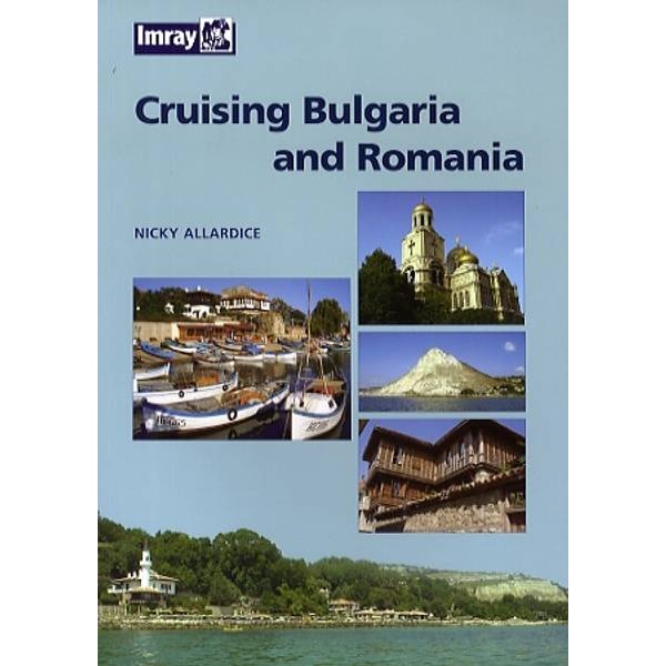
Cruising Bulgaria and Romania
Cruising guide for sailing along the coasts of Bulgaria and Romania on the Black Sea, with descriptions of ports, approaches and local conditions.
-
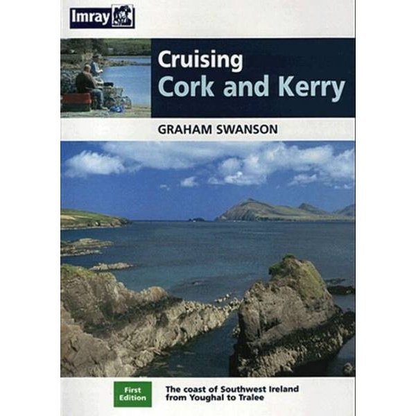
Cruising Cork and Kerry
Cruising guide for sailing along the coast of Cork and Kerry in southwest Ireland, with harbor descriptions, anchorages and practical advice for safe sailing.
-
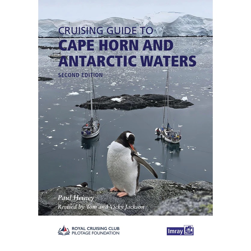
Cruising Guide to Cape Horn and Antarctic Waters
An advanced and thorough sailing guide for the waters around Cape Horn and Antarctica. The book covers sailing in some of the world’s most demanding and harshest areas.
-
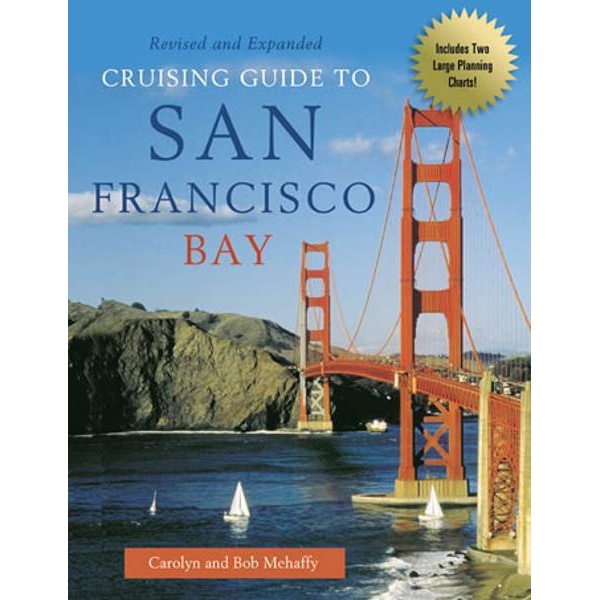
Cruising Guide to San Francisco Bay
Sailing guide to San Francisco Bay with practical advice, port descriptions and large planning maps.
-

Cruising Guide to the Virgin Islands
The Cruising Guide to the Virgin Islands is a detailed pilot book for sailing in the British and US Virgin Islands. Covering anchorages, ports, approaches and local conditions, the book provides practical information for safe and efficient sailing between the islands. An indispensable reference book for cruising and long-distance sailors in the Caribbean, published by…
-
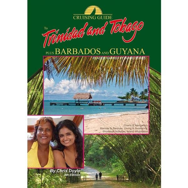
Cruising Guide to Trinidad and Tobago
Comprehensive cruising and piloting guide for Trinidad and Tobago, with supplements for Barbados and Guyana. Includes maps, anchorages, ports and local sailing information
-
Cruising Guide to Venezuela & Bonaire
Detailed cruising and pilot guide for sailing along the Venezuelan coast and Bonaire, with maps, anchorages, facilities and local information for cruisers in this part of the Caribbean.
-
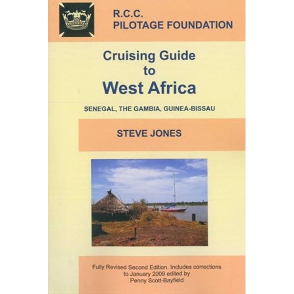
Cruising Guide to West Africa
Pilot book for sailing along the coast of West Africa, with coverage of Senegal, Gambia and Guinea-Bissau.
-
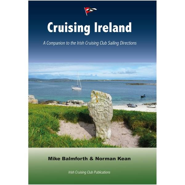
Cruising Ireland
Comprehensive cruising guide for sailing around Ireland, based on the Irish Cruising Club’s sailing directions and experience of Irish waters.
-

Cruising Scotland
Comprehensive cruising guide for sailing along Scotland’s coasts, from the Clyde to Cape Wrath, based on the Clyde Cruising Club’s sailing directions.
-
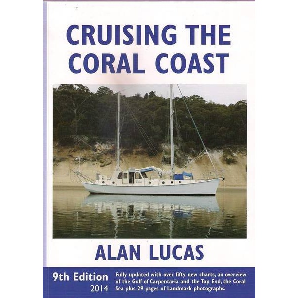
Cruising the Coral Coast
A comprehensive and classic sailing guide to Australia’s east coast and the Great Barrier Reef. Cruising the Coral Coast by Alan Lucas covers the entire Queensland coastline, including the Torres Strait, and is an indispensable reference for long-distance sailors and boating enthusiasts.
-
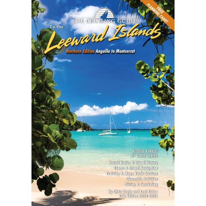
Crusing Guide to the Northern Leeward Islands
Comprehensive sailing guide for the Northern Leeward Islands – from Anguilla to Montserrat – with navigation, anchorages and local services.
-
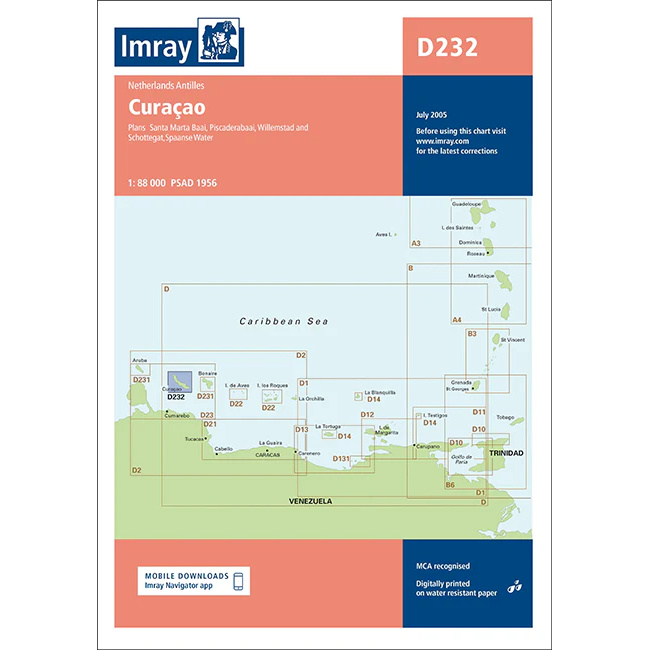
Curacao – Imray D232
Overview map from Imray covering Curaçao, designed for sailing and route planning in the Caribbean.
-
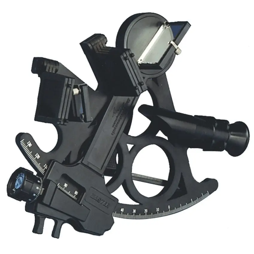
Davis Mark 15 Master Sextant – sextant for training and backup
Davis Mark 15 Master is an affordable plastic sextant for astronomical navigation. Suitable for training and as a backup sextant on board.
-

Davis Mark 3 Sextant – training sextant for astronomical navigation
Davis Mark 3 is an affordable full-size training sextant. Perfect for courses and training in astronomical navigation.