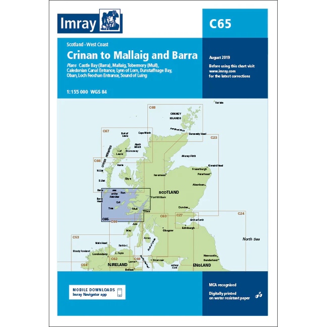
Description
This boating chart covers the stretch from Crinan to Mallaig and Barra along the west coast of Scotland. The chart has been developed for recreational boating and sailing navigation in an area that includes inner and outer coastal waters, archipelagic stretches and open sea areas west of the Scottish Islands.
The chart provides an overview of coastlines, straits, islands and important approaches, and is suitable for route planning and overview navigation for both coastal voyages and longer passages between the mainland and the Outer Hebrides. It is often used in combination with more detailed local charts for safe navigation in an area with demanding weather and current conditions.
Imray is a renowned British chart manufacturer with extensive experience in nautical charts and publications for leisure boats. Their charts are designed with practical on-board use in mind, combining clear cartography with reliable nautical information for sailors and powerboaters.