-
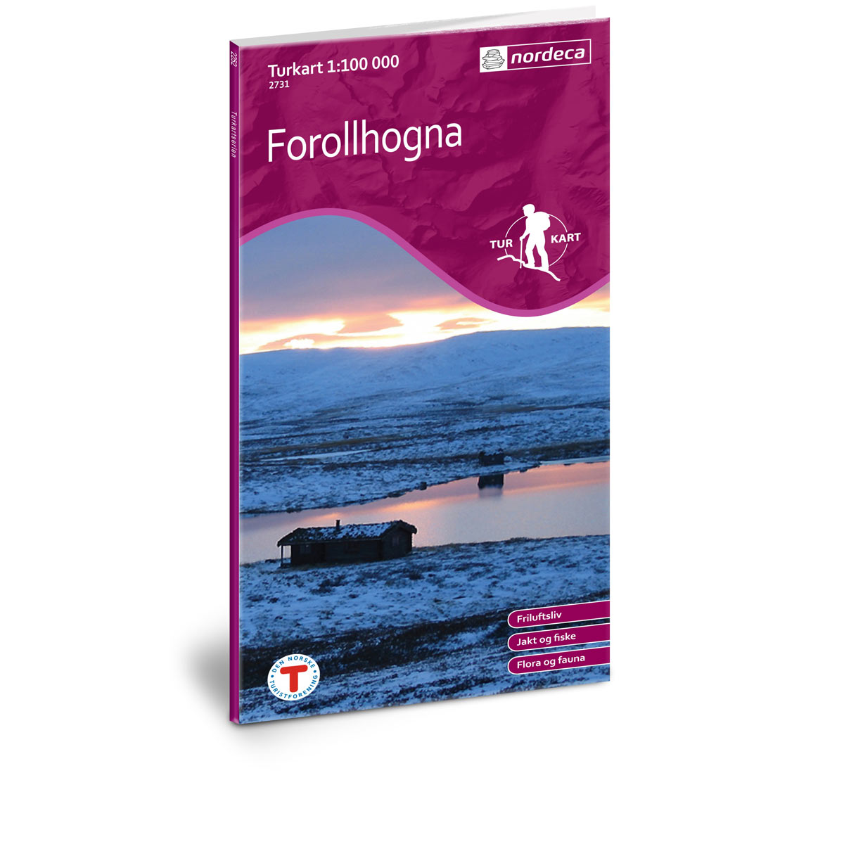
Forollhogna DNT Hiking Map
Detailed hiking map of Forollhogna, developed by Nordic Maps (formerly Nordeca) in collaboration with the Norwegian Trekking Association. DNT Hiking Maps have been the first choice for outdoor enthusiasts for several decades, known for their excellent readability, well-designed cartography, and practical information tailored for active outdoor life.
-
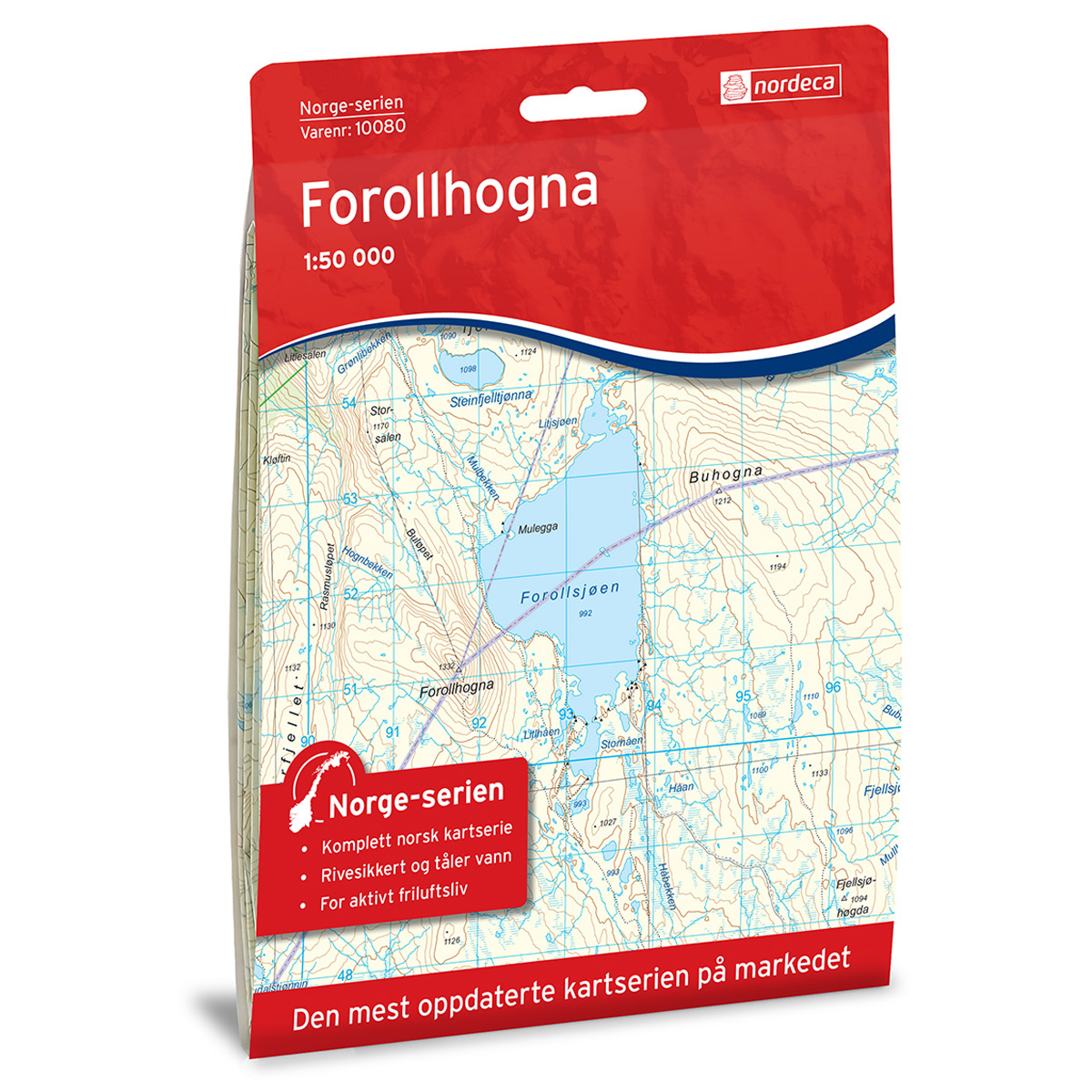
Forollhogna Norge-serien Hiking Map
Detailed hiking map of Forollhogna in the Norge-serien – the classic red hiking maps that have been a trusted companion in Norwegian backpacks for generations. The maps are systematically divided with overlap to adjacent maps, providing good continuity as you move through the terrain.
-
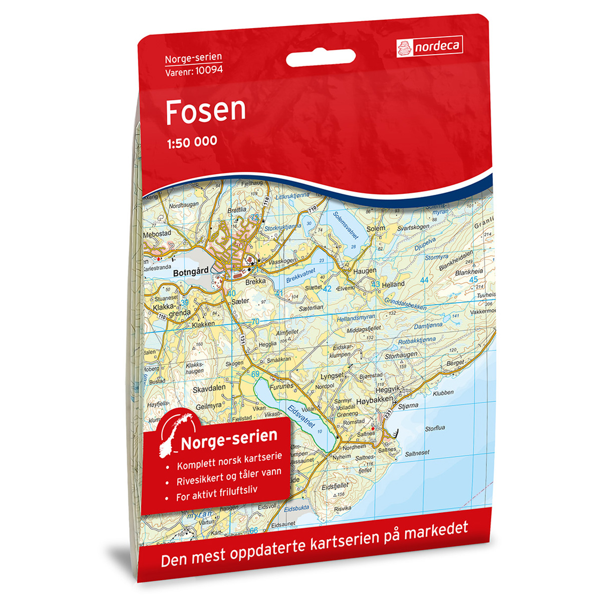
Fosen Norway Series Hiking Map
Detailed hiking map of Fosen in the Norway series – the classic red hiking maps that have been a trusted companion in Norwegian backpacks for generations. The maps are systematically divided with overlap to adjacent maps, providing good continuity as you move through the terrain.
-
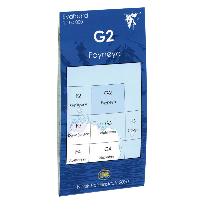
Foynøya G2
Map in scale 1:100000 from the Norwegian Polar Institute.
-
Frafjord-Bjerkreimsheiane DNT Turkart
Detailed hiking map of Frafjord-Bjerkreimsheiane, developed by Nordic Maps (formerly Nordeca) in collaboration with Den norske Turistforening. DNT Hiking Maps have been the preferred choice for hikers for decades, known for their excellent readability, thoughtful design, and practical information tailored for active outdoor life.
-
France – road map (multilingual)
Clear road map of France at a scale of 1:800,000. Shows road networks, tourist information, campsites and a digital gazetteer – ideal for car and campervan tours.
-
France – road map (multilingual)
Clear and detailed road map of France at a scale of 1:1,000,000, suitable for road trips, motorcycle tours and travel by motorhome or caravan. The map provides a clear overview of the entire country with main roads, highways and important cities. The map includes a location index with postcodes and distances between key cities, making…
-
Fredrikstad – Halden Topo 3000 Turkart
Detailed topographic hiking map of Fredrikstad – Halden Topo 3000 Turkart, from Nordic Maps (formerly Nordeca). Topo 3000 is a popular map series for mountain hikes and longer hikes in varied terrain.
-

Freemansundet E9
Map in scale 1:100000 from the Norwegian Polar Institute.
-
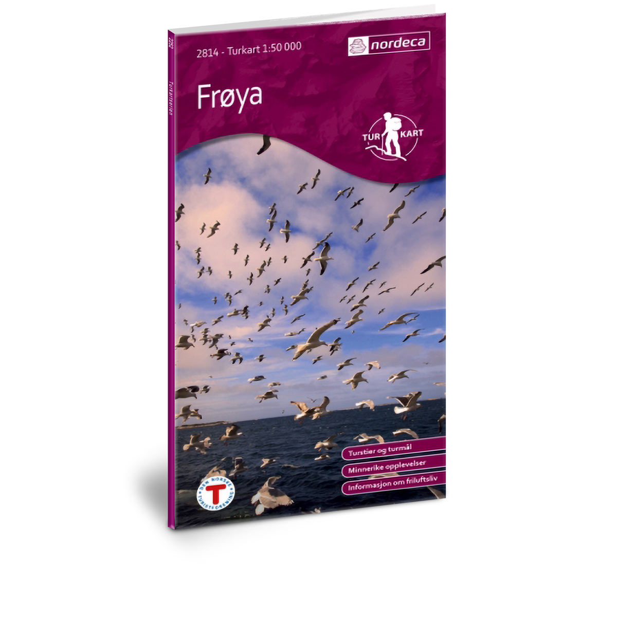
Frøya DNT Turkart
Detailed hiking map of Frøya, developed by Nordic Maps (formerly Nordeca) in collaboration with Den norske Turistforening. DNT Hiking Maps have been the preferred choice for hikers for decades, known for their excellent readability, thoughtful design, and practical information tailored for active outdoor life.
-

Frøya Norway Series Hiking Map
Detailed hiking map of Frøya in the Norway Series – the classic red hiking maps that have been a trusted companion in Norwegian backpacks for generations. The maps are systematically divided with overlap to adjacent maps, providing good continuity as you move through the terrain.
-

Fugløya Norway Series Hiking Map
Detailed hiking map of Fugløya in the Norway Series – the classic red hiking maps that have been a faithful companion in Norwegian backpacks for generations. The maps are systematically divided with overlaps for adjacent maps, providing seamless continuity as you move through the terrain.
-
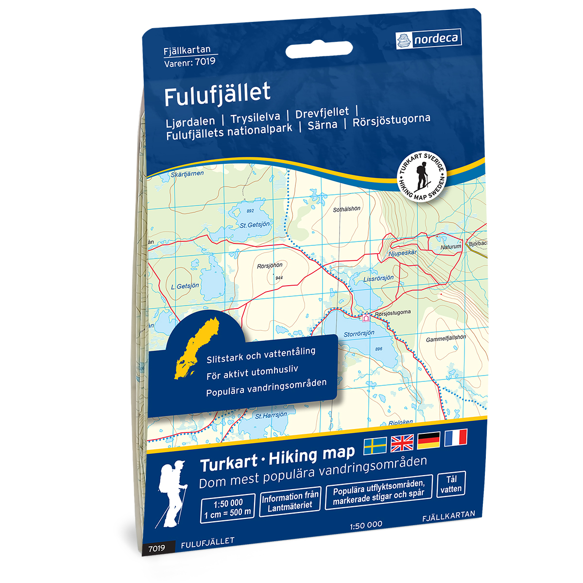
Fulufjället Swedish Mountain Map
Detailed mountain map of Fulufjället Swedish Mountain Map, developed by Nordic Maps (formerly Nordeca). The map is well suited for hiking and mountain trekking in Swedish mountain areas.
-
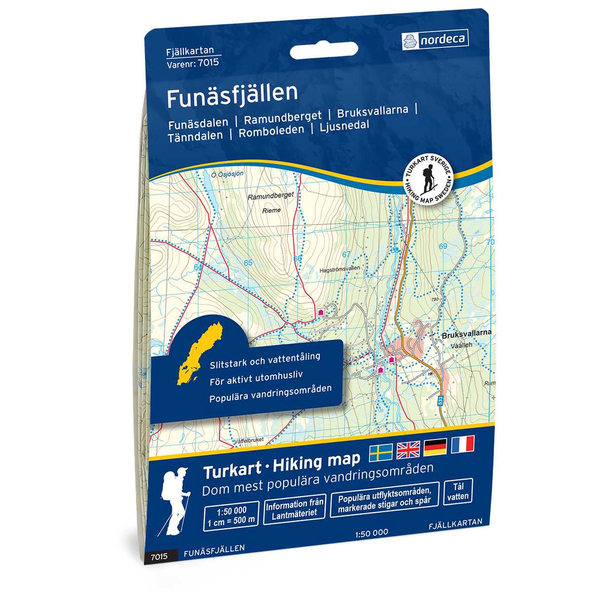
Funäsfjällen Swedish Mountain Kart
Detailed mountain map of Funäsfjällen Swedish Mountain Map, developed by Nordic Maps (formerly Nordeca). The map is well suited for hiking and mountain trekking in Swedish mountain areas.
-
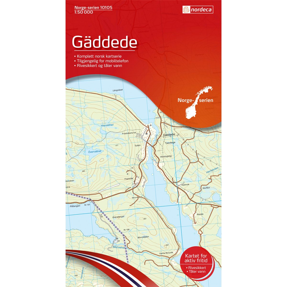
Gäddede Norway Series Hiking Map
Detailed hiking map of Gäddede in the Norway Series – the classic red hiking maps that have been a faithful companion in Norwegian backpacks for generations. The maps are systematically divided with overlaps with adjacent maps, providing excellent continuity as you move through the terrain.
-
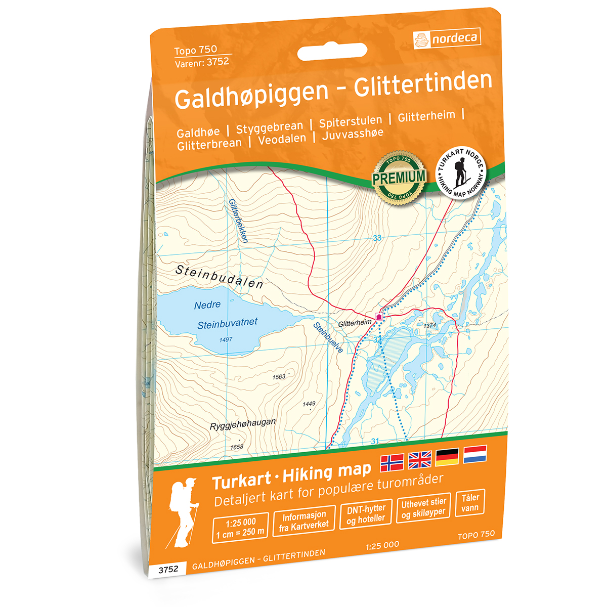
Galdhøpiggen – Glittertinden Topo 750 Turkart
Detailed topographic hiking map of Galdhøpiggen – Glittertinden Topo 750 Turkart, from Nordic Maps (formerly Nordeca). Topo 750 provides an extra level of detail and is well suited for close hikes and demanding traffic.
-

Galdhøpiggen DNT Hiking Map
Detailed hiking map of Galdhøpiggen, developed by Nordic Maps (formerly Nordeca) in collaboration with the Norwegian Trekking Association. DNT Hiking Maps have been the first choice for hikers for several decades, and are known for good readability, well-designed cartography and practical information adapted to active outdoor life.
-
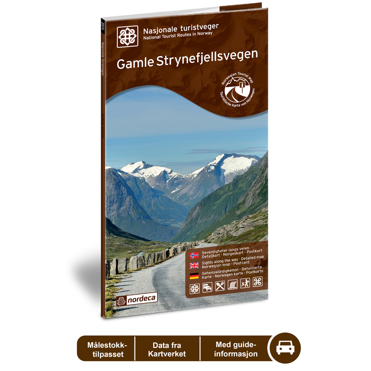
Gamle Strynefjellsvegen National Tourist Routes
Road guide for a scenic drive along Gamle Strynefjellsvegen, with an overview of the route, sights, and experiences along the way.
-
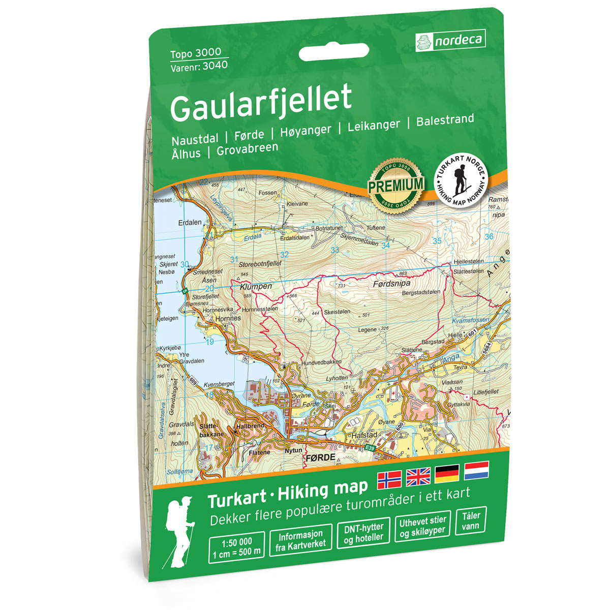
Gaularfjellet Topo 3000 Turkart
Detailed topographic hiking map of Gaularfjellet Topo 3000 Turkart, from Nordic Maps (formerly Nordeca). Topo 3000 is a popular map series for mountain hikes and longer hikes in varied terrain.
-
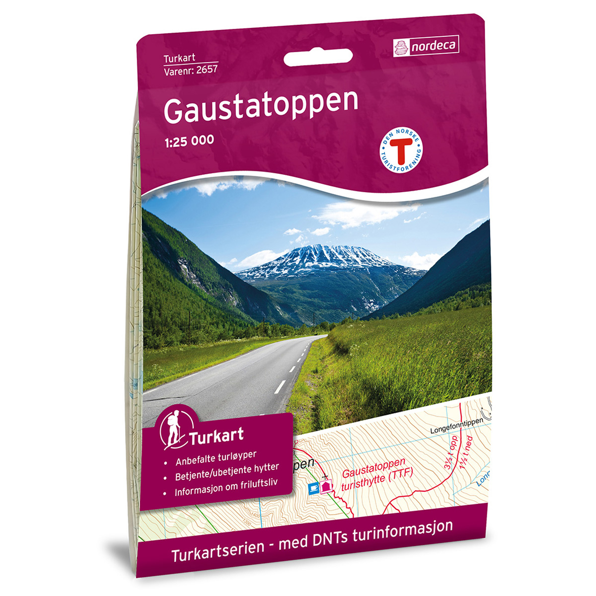
Gaustatoppen DNT Hiking Map
Detailed hiking map of Gaustatoppen, developed by Nordic Maps (formerly Nordeca) in collaboration with the Norwegian Trekking Association. For decades, DNT Hiking Maps have been the preferred choice for hikers, known for their excellent readability, thoughtful design, and practical information tailored for active outdoor life.