


Recreational nautical charts – Estonia
Official recreational nautical charts of Estonia from the Estonian Transport Administration (Transpordiamet). The Charts of Estonia series has three chart albums: Vol. 1 covers the Gulf of Finland from Suurupi Peninsula to Narva, Vol. 2 covers Väinameri from Lohusalu Peninsula to Saaremaa, and Vol. 3 covers the waters from Saaremaa to Ruhnu.
All three volumes are available on regular paper; Vol. 2 also comes on waterproof paper. Kart.no is a Norwegian reseller with chart albums stocked in Norway. Check each product for its edition and availability. Corrections are published in the authority’s Notices to Mariners.
-
In stock
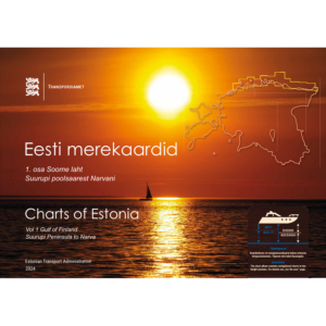
Charts of Estonia Vol. 1 – Gulf of Finland – Suurupi to Narva (2024)
114,80 € Add to cart -
In stock
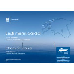
Charts of Estonia Vol. 2 – Väinameri – Lohusalu to Saaremaa – waterproof (2026)
162,83 € Add to cart -
In stock
Charts of Estonia Vol. 2 – Väinameri – Lohusalu to Saaremaa (2026)
114,80 € Add to cart -
Low stock
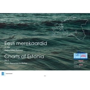
Charts of Estonia Vol. 3 – Saaremaa to Ruhnu (2021)
114,80 € Add to cart